In places where the four seasons are distinct, “off-season” is a familiar term. That’s especially true in my native New England. When the off-season begins, many businesses shut down. Vacation rental prices plummet. Parking is easy to find.

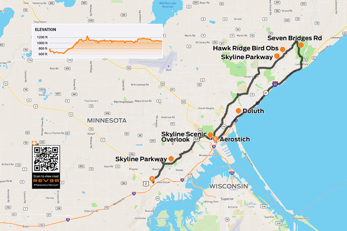
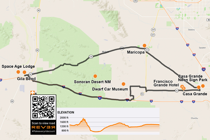
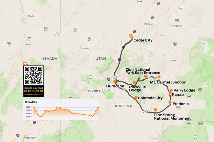
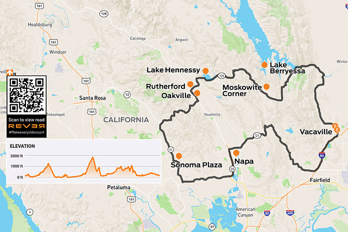
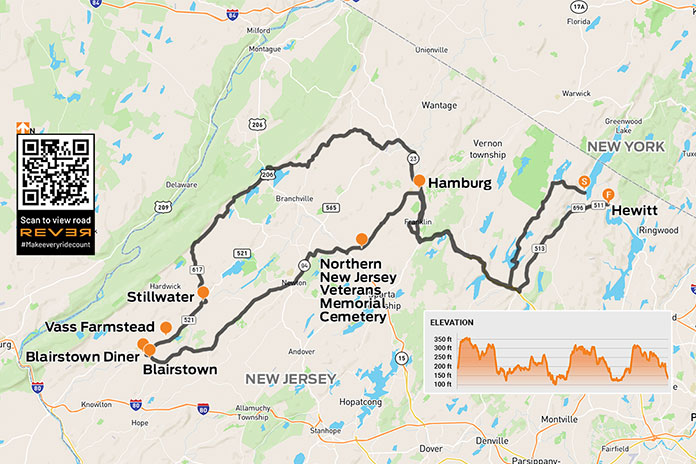
Scan the QR code above or click here to view the route on REVER
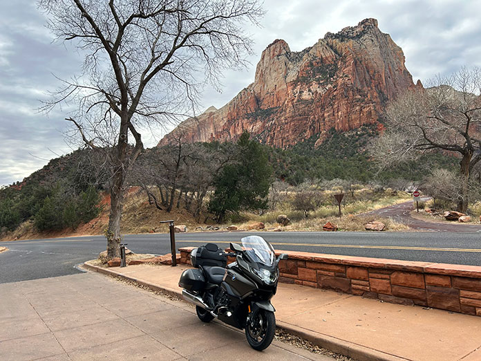
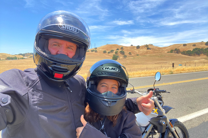
For your humble scribe, the best part of any off-season is the absence of crowds. On a cool Sunday late last year, I knew the beach would be empty, so I pointed my BMW F 750 GS east and south. My destination was Misquamicut Beach State Park in Westerly, Rhode Island, about 100 miles from my home in western Massachusetts. Since I’d be arriving around lunchtime, I envisioned eating some New England clam chowder, which always tastes better with an ocean view.
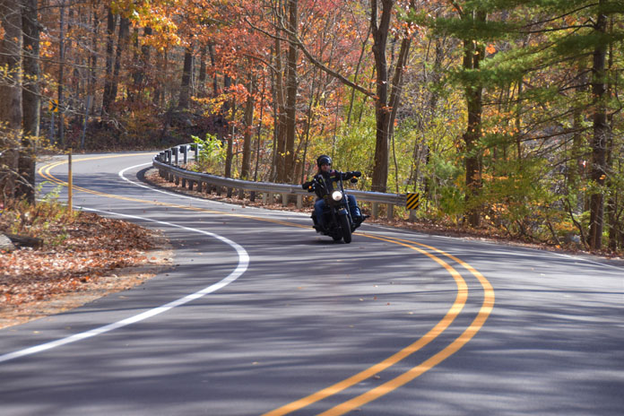
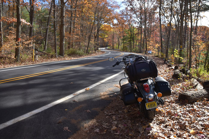
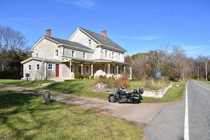
Because the ride mattered as much as the destination, I headed for some favorite secondary roads through eastern Connecticut. At Union, I picked up curvy State Route 197 east, then at SR-169, I turned south toward Woodstock. I rolled past Roseland Cottage (c. 1864) instantly recognizable for its exquisite pink gingerbread exterior. Continuing south to Pomfret, I passed The Vanilla Bean Cafe, a popular gathering spot for motorcyclists, no matter the season.

I stayed on SR-169 through Brooklyn and Canterbury, where a left put me on SR-14A. Then at Ekonk Hill Road (SR-49), I turned south for the highlight of the ride. This southeastern sliver of Connecticut is hilly and rural, with smooth asphalt and sparse traffic that inspires a brisk pace.
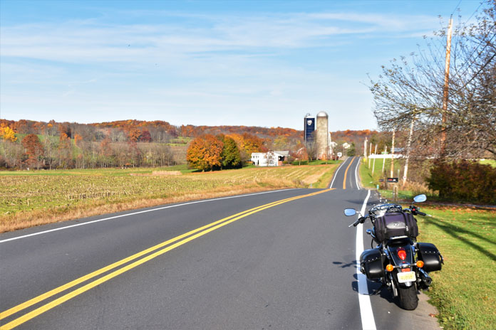
Past the village of Voluntown, Pendleton Hill Road (SR-49) continues south, curving agreeably past farms and through forests. While the overall elevation isn’t that high, the road is often higher than anything else around. This, combined with open stretches of harvested farmland, results in occasional “big sky” vistas atypical of Connecticut.

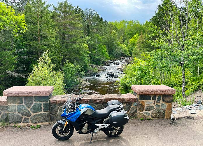
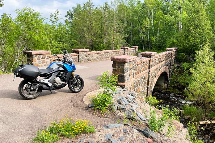
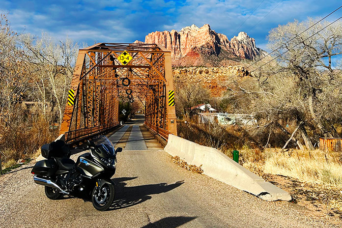
Pendleton Hill Road ends in Stonington, and two left turns sent me over the Pawcatuck River into Rhode Island. On a Sunday in summertime, traffic here would be crawling. Eventually I’d make it to Misquamicut where, if lucky, I’d find a $20 parking space. The beach would be teeming: families with little kids playing in sand and waves, young adults preening and showing off, older folks relaxing as life-long beachgoers do, and even a goodly number of people who came to the beach on motorcycles.

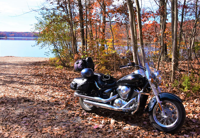
But the week of Thanksgiving was off-season. The markets, T-shirt shops, and restaurants were closed. Toll booths at the state beach parking lot were unmanned. Seagulls, at rest and pointing windward, greatly outnumbered vehicles. Exactly three cars were parked in the vast lot, and then one motorcycle.
I walked between the fences through the dunes and drew in the sensory delights of an empty beach. Soon I heard the jingle of dog tags and was greeted by a friendly one-eyed Cockapoo named Jasper. Hey, buddy! His chatty owner said they come here regularly to walk the beach and make friends. Mission accomplished. Continuing my walk along the high-water line, I spied a small rock shaped like a heart and pocketed it for my wife.

The sky was blue with wispy clouds, and the breeze was fresh. If you weren’t planning to don bathing attire and play in those crashing waves, it was a great beach day. In many ways it was ideal, but my plan to enjoy chowder with a view of the ocean required modification.
See all of Rider‘s Northeast U.S. motorcycle rides here.
Long ago, a more experienced rider taught me that a route reversed is a different ride, and this sage insight guided me again. I crossed the Pawcatuck River back into Connecticut and turned north, curving past the same farms and forests and through the same small towns but with a different perspective.
As I came to the four-way stop in Pomfret, I noticed two motorcycles parked at The Vanilla Bean. While there is no view of the ocean, this establishment serves pretty good chowder. Bowl, spoon, and crackers in hand, I went outside and sat at a table near the only other folks eating. They had arrived on motorcycles. As we rehashed how our rides led us here, more riders arrived – on Gold Wings and an assortment of sportbikes, standards, and sport-tourers.
For about an hour, I made new friends and ran into an old one, Mark “Biker’s Gotta Eat” Coffman, who was riding in search of cookies. Mark and I first met several years ago right here at The Vanilla Bean on a clear afternoon in late winter when ours were the only bikes there.

As riders began going our separate ways, I continued north, up into Massachusetts, and toward home. With the sun about to set, I pulled into my local gas station.
“Putting her away for the season?” the pickup driver at the next pump asked.
“No,” I replied, “just filling up for the next ride.”
“Huh. I put my bike away weeks ago.”
“This one stays on the road year-round,” I explained. “You never know when there will be a good day to ride.”
“Like today,” he said, nodding.
“Like today.”
See all of Rider‘s touring stories here.
Connecticut Motorcycle Ride Resources

Scott “Bones” Williams engages readers on motorcycle touring, gear, and culture. His writing conveys his love of speed and motion, preference for roads less taken, and role as goodwill ambassador.
The post Clam Chowder in Connecticut Motorcycle Ride | Favorite Ride appeared first on Rider Magazine.
Source: RiderMagazine.com