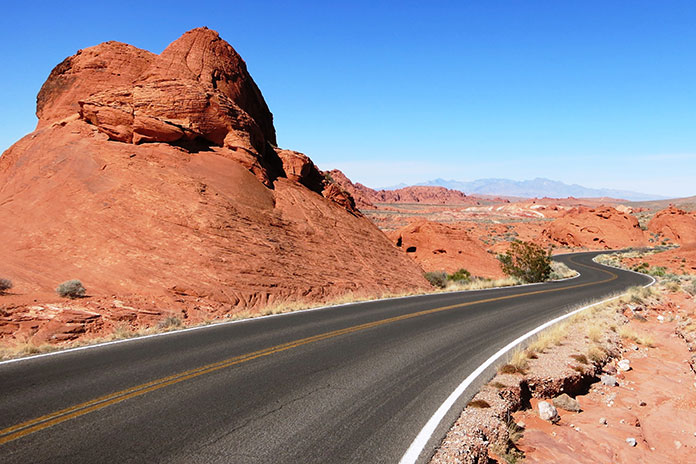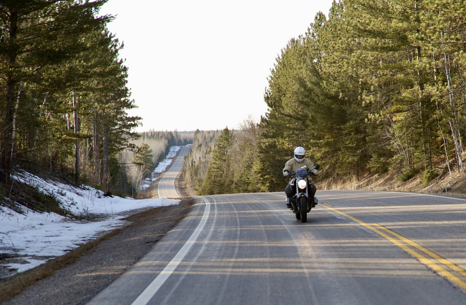
Utah’s national parks – Arches, Bryce Canyon, Canyonlands, Capitol Reef, and Zion – are known as the Mighty 5. All feature impressive red rock formations, landscapes, and vistas, yet each is unique. In late September, after the worst of the summer heat and crowds, my wife and I toured three Utah National Parks on a motorcycle.
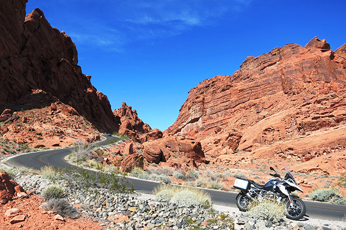
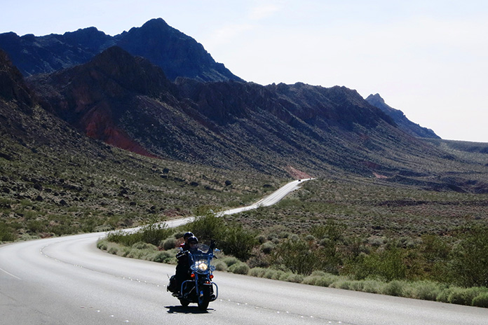
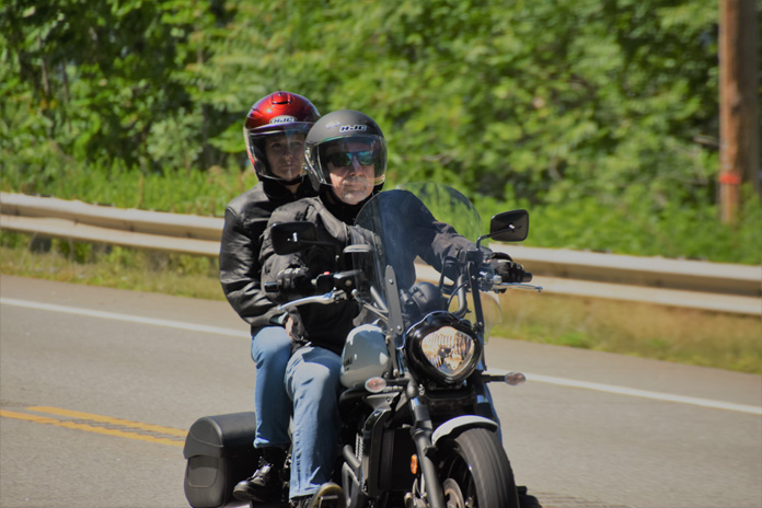
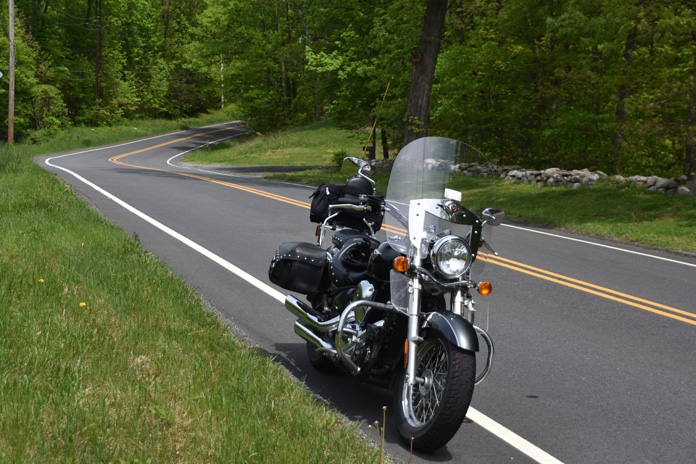
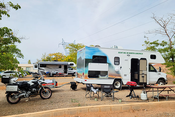
We were coming from California. Younger riders or those with iron butts may choose to endure the entire journey on two wheels, but we prefer burning the hundreds of interstate miles to get there and back in comfort, and we like to bring more for a two-week trip than can fit on a bike. We rented an RV and a trailer, loaded up my BMW R 1200 GS, stocked up on gear, food, beer, and wine, and hit the road from our home in Oxnard.
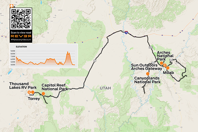
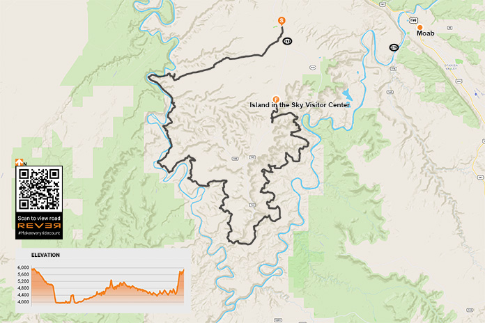
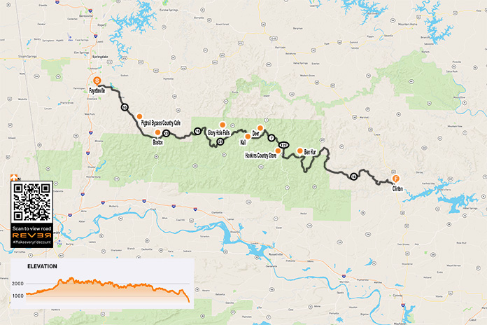
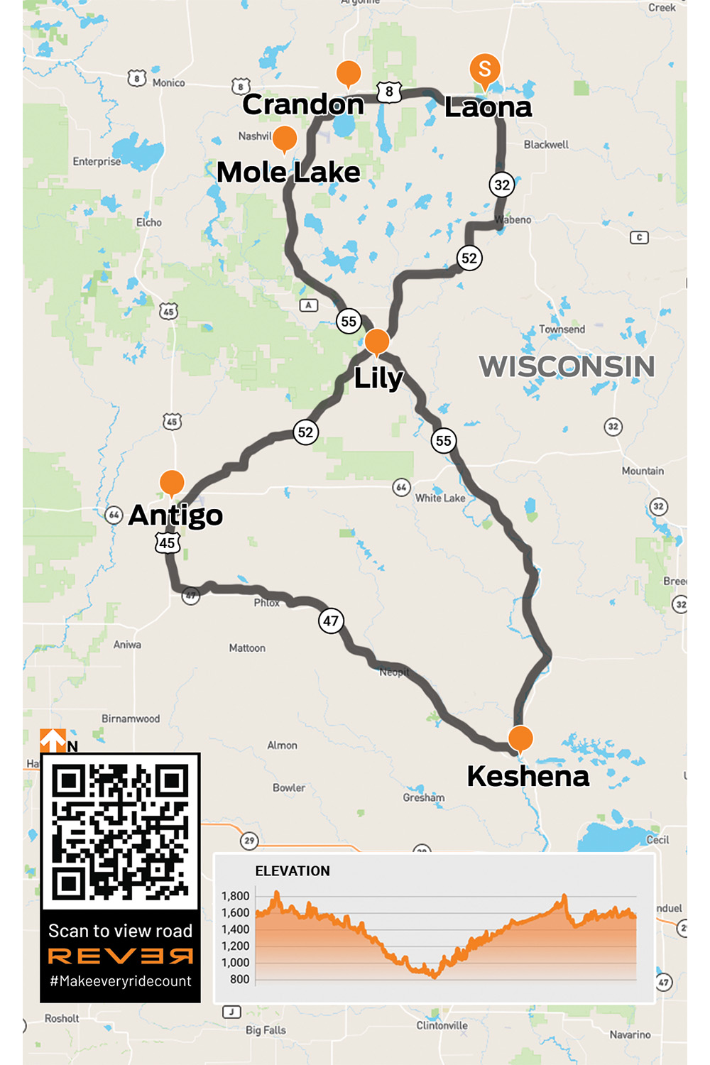
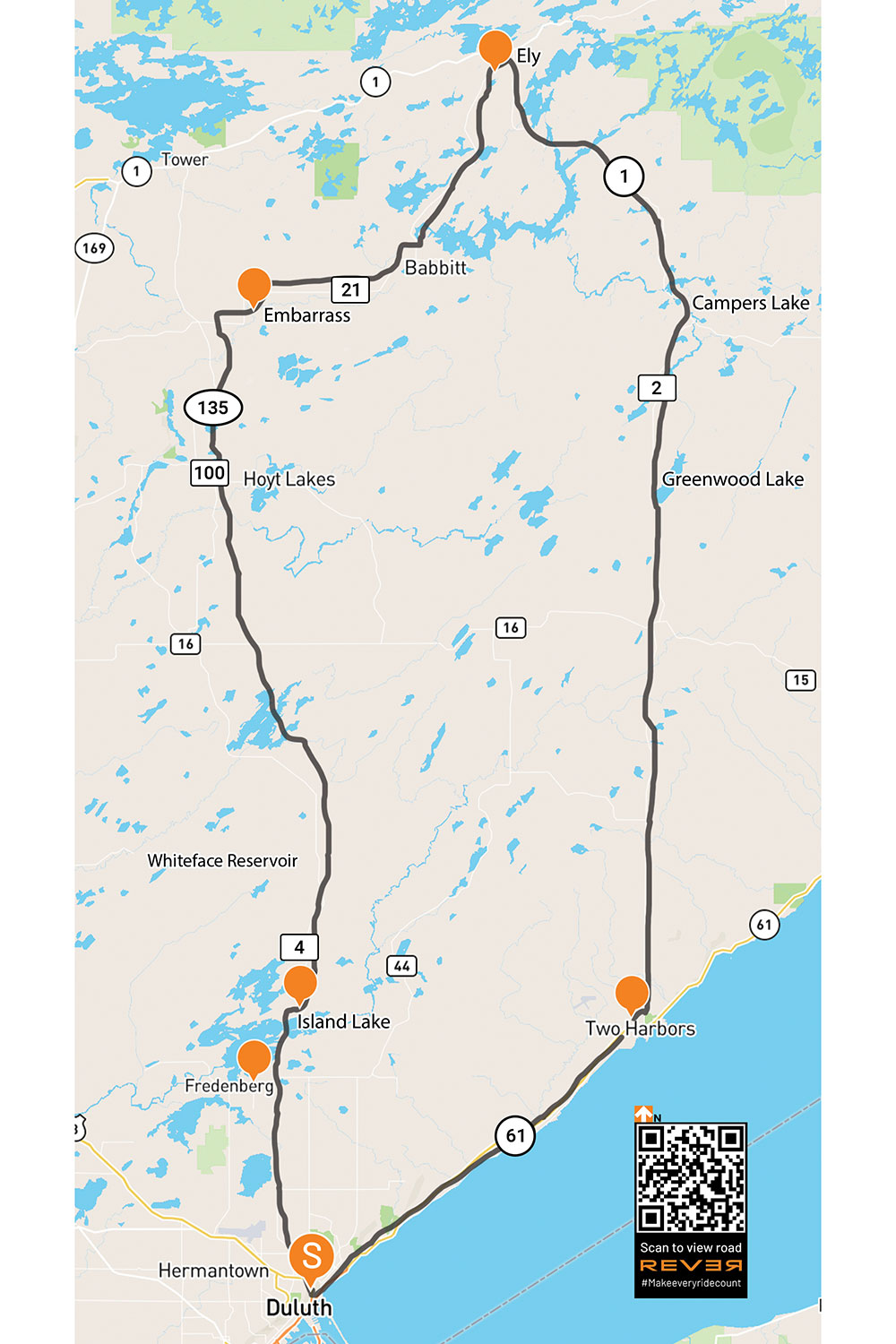
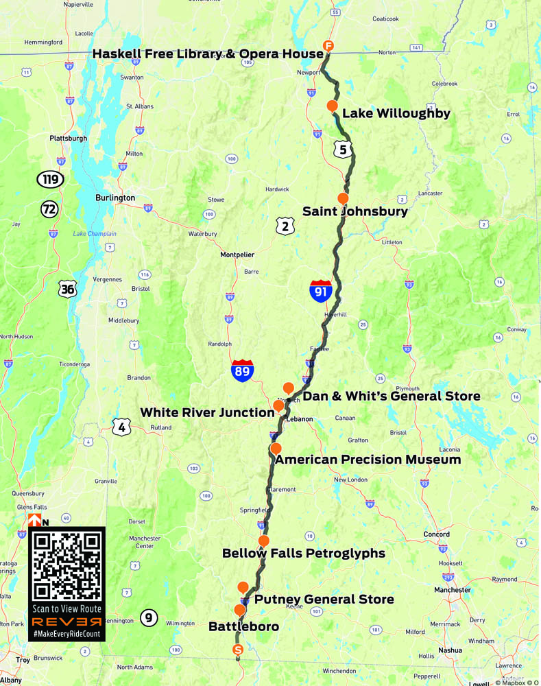
Scan QR code above or click here to view the route on REVER
We “glamped” in RV parks, all of which had wide pull-through spots with plenty of trailer and bike parking. Once parked, we saddled up for scenic day rides. Being on a motorcycle made it easier to cruise through the national parks and slip into smaller parking spaces. At the end of each day, we returned to our campsite for a sundowner by the fire. For this trip, we purchased a National Parks and Federal Recreational Lands Pass for $80, which paid for itself upon entrance to our third park and gave us access to other parks for a full year.
See all of Rider‘s ‘Great Roads West’ touring stories here.
Utah National Parks on a Motorcycle: Capitol Reef
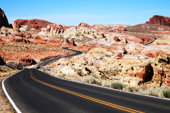
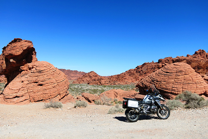
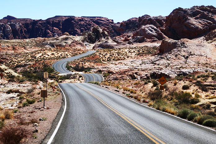
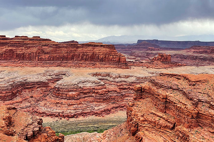
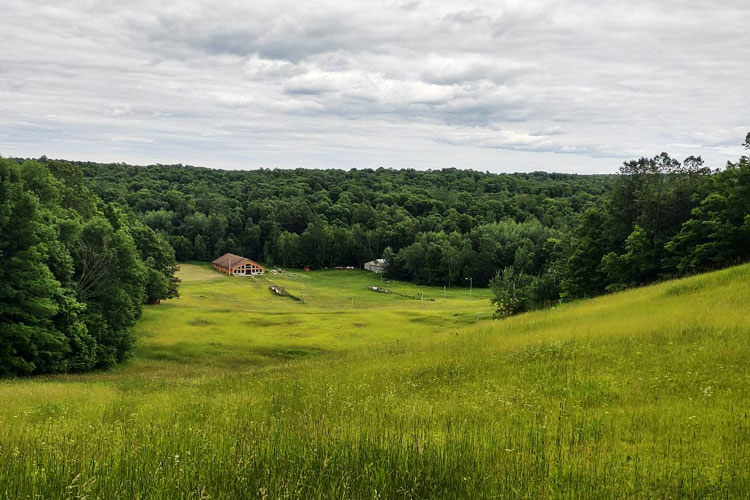
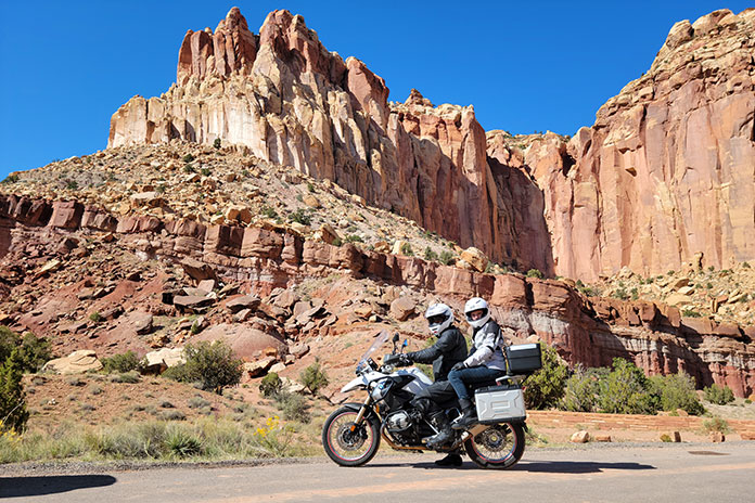
On a perfect 70-degree clear day, we mounted the GS, departed Thousand Lakes RV Park in Torrey, Utah, and rode into Capitol Reef National Park, known for its 100-mile wrinkle in the earth’s crust called the Waterpocket Fold. It was formed as rocks were pushed upward and erosion sliced and diced through the layers, creating deep, narrow canyons and towering monoliths.
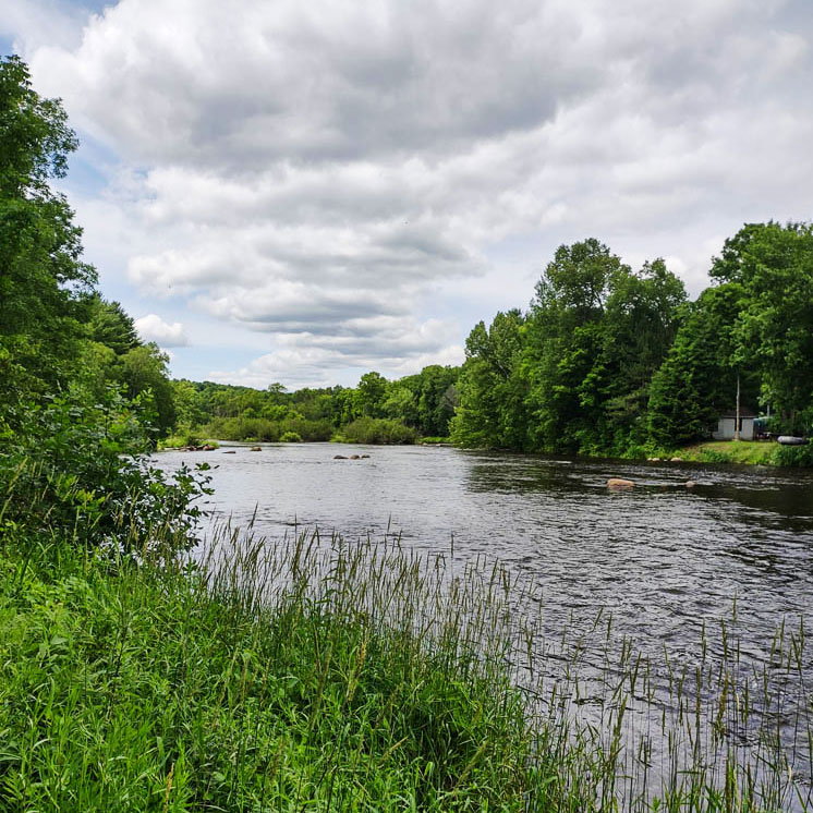
We rode past Panoramic Point down a short washboard dirt road to Goosenecks Overlook. I changed the GS’s suspension setting to Comfort mode and promptly received a “Thanks, Babe” from Nicole via our helmet comms. The view from Goosenecks Overlook of the river below and the slender S-curve it cut into the canyon was splendid.
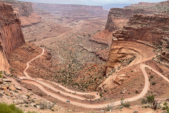
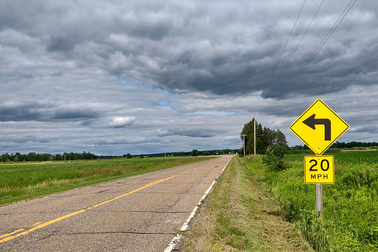
Continuing into the park, we turned right at the visitor center onto Capitol Reef Scenic Drive, a paved road that turns to dirt after 8 miles at the Capitol Gorge Road picnic area. There is so much to see in all directions that we poked along at about 20 mph. Coming back, we turned onto a bumpy 2-mile dirt road and rode through a couple dry washes to the Cassidy Arch trailhead and Grand Wash. I checked the horizon for storms, as even distant rain could quickly make those washes impassable. The scenery as we approached the trailhead changed dramatically, making the detour a must-do.
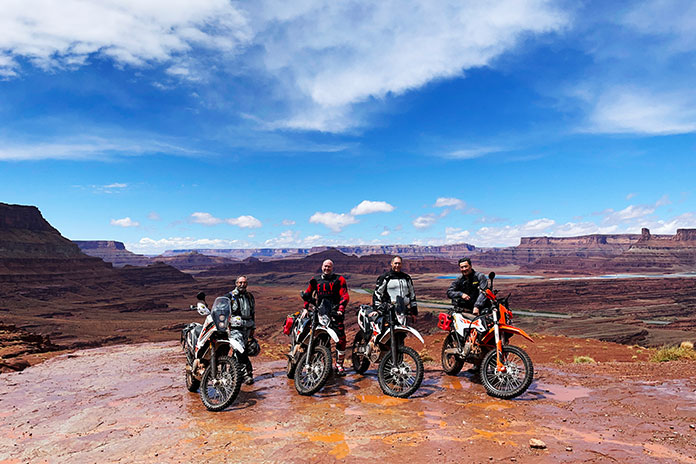
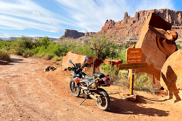
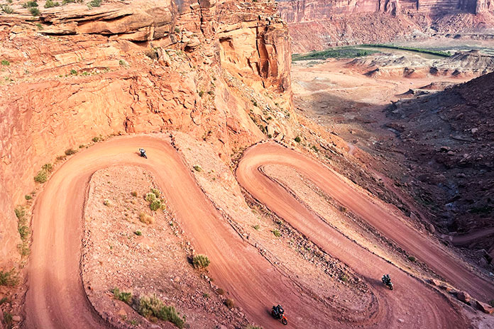
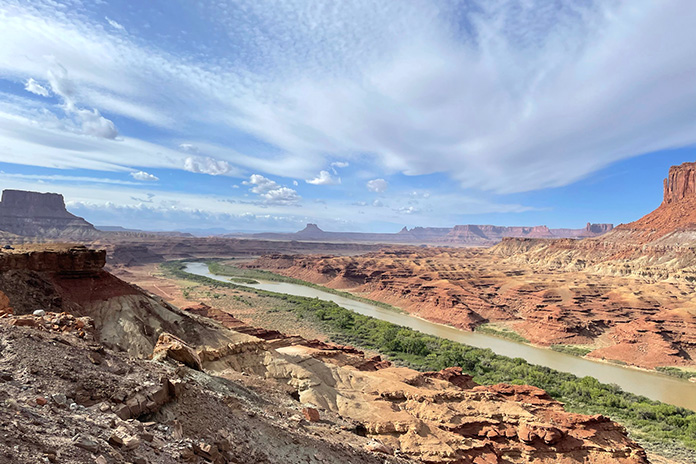
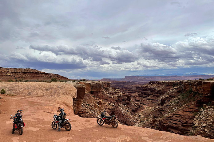
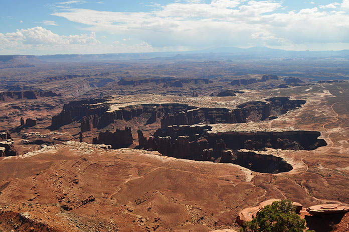
Utah National Parks on a Motorcycle: Canyonlands
Due to a late start from our campsite at the Sun Outdoors Arches Gateway in Moab, we were turned away from Arches because it was at capacity. Even in the “shoulder” season, high-traffic parks like Arches fill up early, so depending on when you go, plan ahead and reserve a timed entry ticket. Even though Canyonlands is only a few miles from Arches, it gets much less traffic, so we headed there instead.
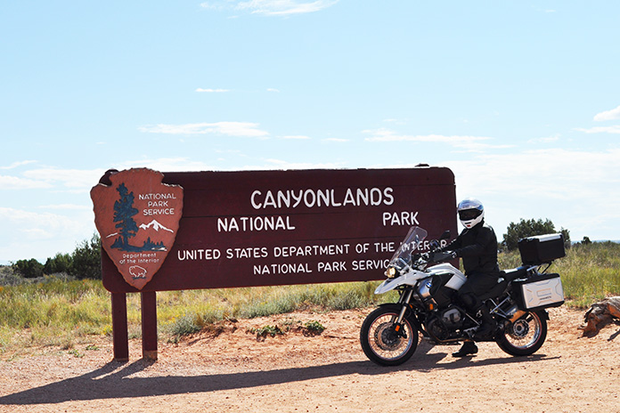
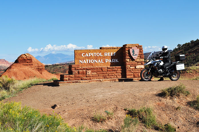
We had to wait to get into Canyonlands too, but Nicole and I passed the time by chatting and digging into our bag of snacks. Following the requisite snapshot at the park entrance sign, we proceeded along the huge flat-topped Island in the Sky Mesa and the 34-mile roundtrip paved road that connects the panoramic viewpoints. These overlooks are 1,000 feet above the surrounding terrain, so the views are spectacular.
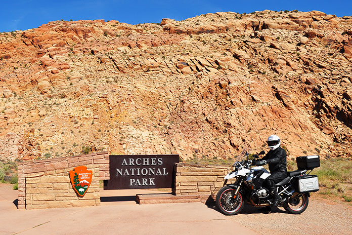
Utah National Parks on a Motorcycle: Arches
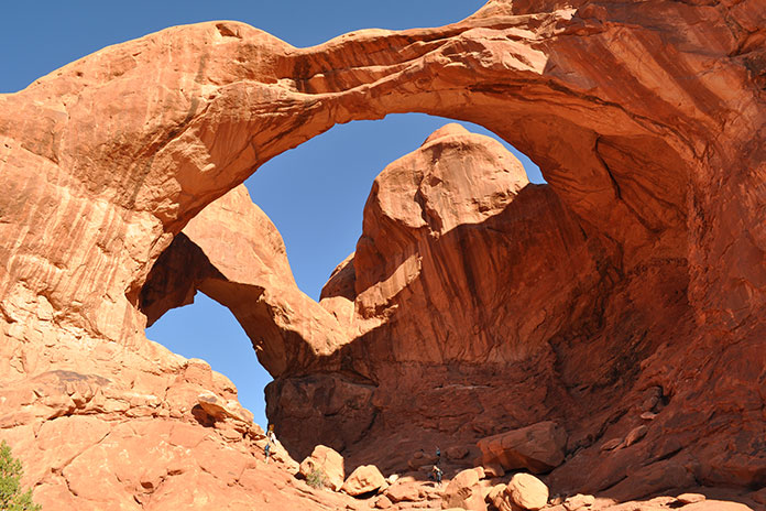
A much earlier start the next day paid off. We began the tour of Arches at The Windows Section, home of Double Arch, the Parade of Elephants formation, North Window, and Turret Arch. We brought shorts and tennis shoes to comfortably walk amongst the sites, as well as a picnic lunch. My favorite was Double Arch, a pothole arch with a span that’s 144 feet wide and 112 feet high formed by water erosion from above rather than more typical erosion from the side.
A brisk 10-minute walk took us to North Window, standing 93 feet wide and 51 feet high, where we stumbled upon a group of local grade-schoolers with canvas and paintbrushes in hand, tapping into their inner artist. “Don’t get too focused on the sky, or you’ll end up with too much blue in your painting,” advised their teacher. We continued on and then enjoyed the solitude and scenery of the Windows Primitive Loop trail.
Back on the bike, other highlights included the Garden of Eden, Balanced Rock, and Wolfe Ranch, which is located at the trailhead that leads to the famous Delicate Arch featured on Utah license plates.
See all of Rider‘s Utah motorcycle rides here.
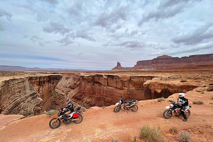
A Bonus Ride: La Sal Loop Road
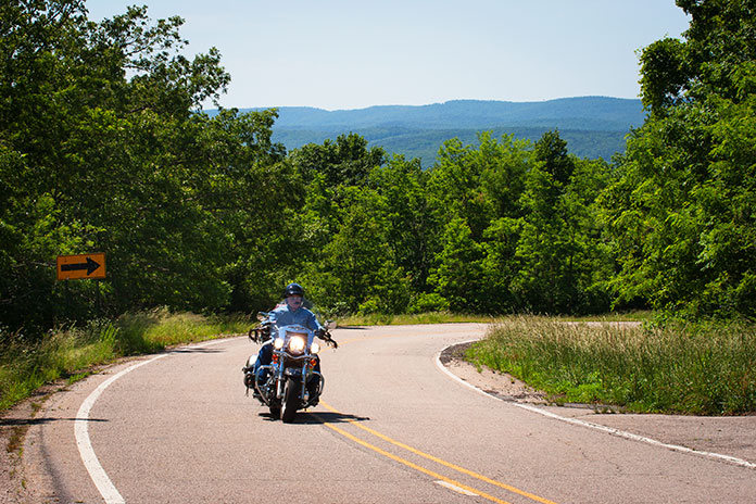
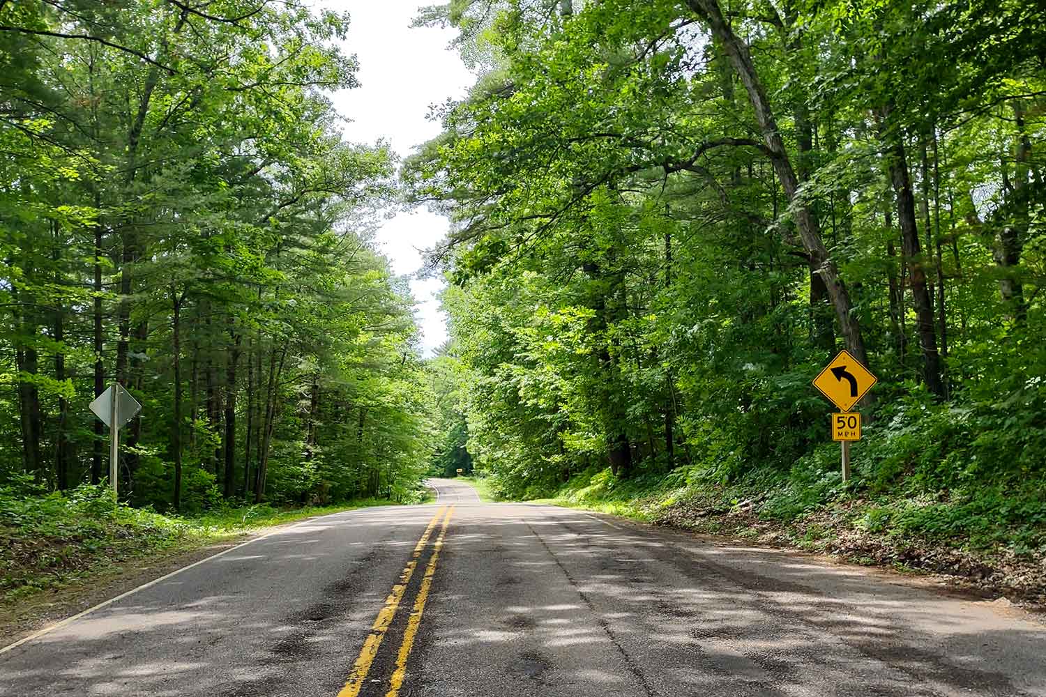
On a cloudy 62-degree morning, we followed U.S. Route 191 south out of Moab and made our way to La Sal Loop Road, a winding paved route that climbs up into the La Sal Mountains. The temperature dropped and it began to rain, but luckily the road turned away from the storm.
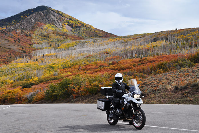
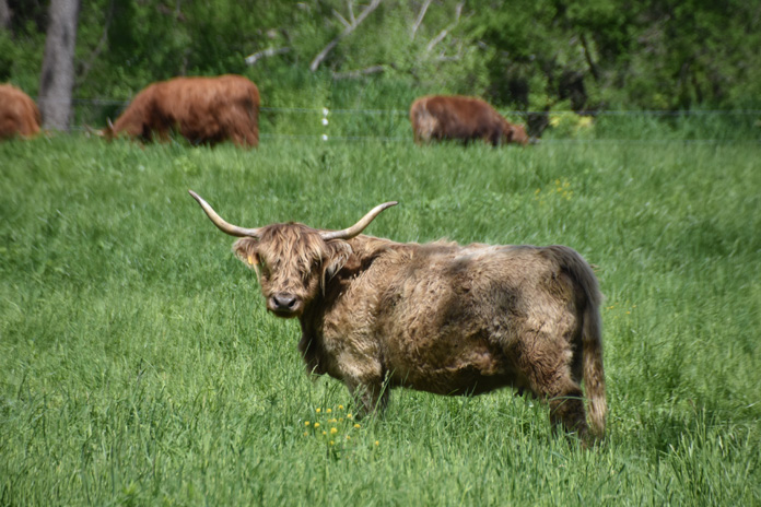
“Are you warm enough?” I asked Nicole, and when she answered in the affirmative, we pressed on. Just beyond the parking area for Mill Creek, we turned right onto Forest Road 076 toward Oowah Lake. This bumpy, rutted dirt road challenged me with sharp corners, steep climbs, and wandering bovines, but we were rewarded with the fall colors of the aspens.
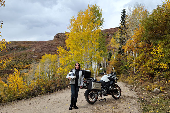
We continued our counterclockwise ride on La Sal Loop Road. We stopped at La Sal Lookout Point, which provides sweeping views of Castle Valley and red rock formations that look like the inspiration for the old cartoons with the Road Runner and Wile E. Coyote. A steep descent with multiple switchbacks took us down to the warmer air of the valley floor. At State Route 128, we turned left (west) and followed the Colorado River on our way back to Moab.
With so much great riding and scenery, we were reluctant to leave, but our allocated vacation time was coming to an end, so we packed up and headed home. Southern Utah is a stunning part of the country that should be on everyone’s must-see, must-ride list.
See all of Rider‘s touring stories here.
The post Seeing Three Utah National Parks on a Motorcycle | Favorite Ride first appeared on Rider Magazine.
Source: RiderMagazine.com