
If you’re a fan of Rider’s touring stories, you’ve likely noticed that we have been using REVER maps to accompany the stories. The REVER app, available for free on iOS and Android, works in conjunction with the REVER website to help riders discover the world’s best roads, create custom routes, track epic rides, compete for bragging rights, and share riding experiences across social platforms. Recently, the company has upped its game with the ability to import georeferenced PDF maps into the app. These maps have embedded GPS boundaries that overlay on any existing map style and display your current location. For more information, read the press release below.
See all of Rider’s touring stories here.
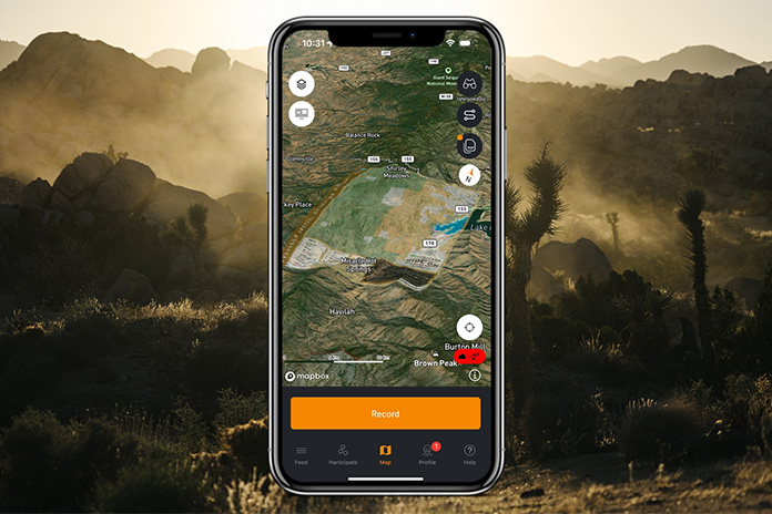
EAGLE, Colo. — REVER, the world’s largest motorcycle ride-planning, tracking, and sharing app, has introduced new capabilities to import and view georeferenced PDF maps in their Android and iOS apps. Georeferenced PDF Maps have embedded GPS boundaries that, when viewed in REVER, overlay on any existing map style and accurately display your current location. This allows access to detailed government maps and maps from other trusted sources – including trail details, topographical lines, and geographic features not found in traditional map styles. In addition, PDF Map Layers are stored on your phone and are available anywhere in the world without cell service. Yet another way to never get lost!
Related: Justin Bradshaw, REVER | Ep. 63 Rider Magazine Insider Podcast
App users can browse a curated list of PDF maps sourced from the United States Forest Service (USFS), Bureau of Land Management (BLM), and United States Geological Survey (USGS) to import and view offline in the REVER mobile apps.
How it works:
- Access the PDF Map Library and importer through the map settings on the main map tab in the REVER app.
- Imported maps are stored, saved and organized in the REVER PDF Map Library which can be accessed offline.
- Choose a PDF map to display as a layer on the main REVER map to assist with navigation and exploration.
- PDF maps can be overlaid on any dynamic map currently available in the REVER app including topographic maps and satellite.
- Once imported and overlaid on the map, any georeferenced PDF map can be rendered in 3D.

“We know REVER Riders push the limits of exploration every day. The REVER team is stoked on the daily challenge of improving how our users find new places to ride, plan trips and stay on course,” says Mark Roebke, co-founder of REVER. “PDF Map overlays are an exceptional way to add new detailed map content to REVER from trusted sources like the Bureau of Land Management and United States National Forest Service. We can’t wait to see how REVER Riders take advantage of this new opportunity in the mobile apps.”
REVER users with a Pro subscription can import unlimited PDF maps into their app. Free users are limited to one PDF map.
For more information visit, the REVER website.
The post REVER Launches PDF Map Compatibility appeared first on Rider Magazine.
Source: RiderMagazine.com