
My father‑in‑law had a thing for the Allegheny National Forest in northwestern Pennsylvania. George would regularly leave his home in Jeannette, an industrial town east of Pittsburgh, and make the two‑hour trek to the family’s hunting camp nestled at the edge of the state’s only national forest.
Although he was raised a city boy, George longed for the quiet mountains. He loved to fish, canoe, and hike in the warmer months and hunt and cross‑country ski in the winter. He enjoyed meeting and talking with people year‑round.
George and I developed a friendship that went beyond the requisite in‑law geniality. We became close friends and confidants. As I began spending more time with George at camp, I discovered he not only loved the area but was also intimately familiar with nearly every small town, backroad, and beer garden across Clarion, Forest, Elk, and McKean counties. George seemed to know everyone, and everyone knew and loved George. As he introduced me to his old haunts and new friends, I became intrigued by what made this area so special to him.
Although my wife’s beloved father and my dear friend is now gone, Amy and I find ourselves driving the 100 miles north from the city nearly every weekend to work on the old camp property and take in the mystique of the region he held so dear. In the beginning, it was a way to stay connected and aid the healing process. Then we developed our own growing attachment to the area.
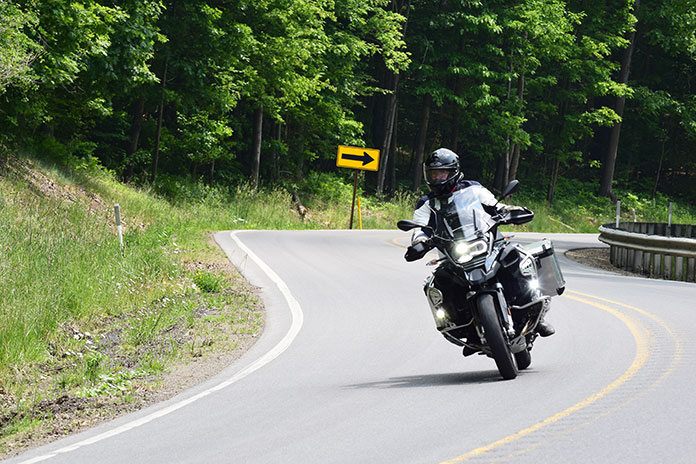
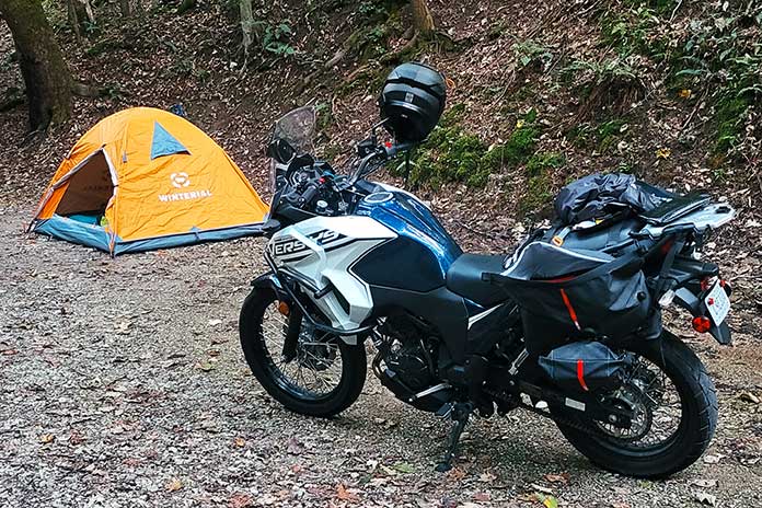
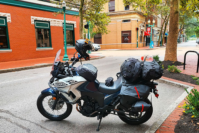
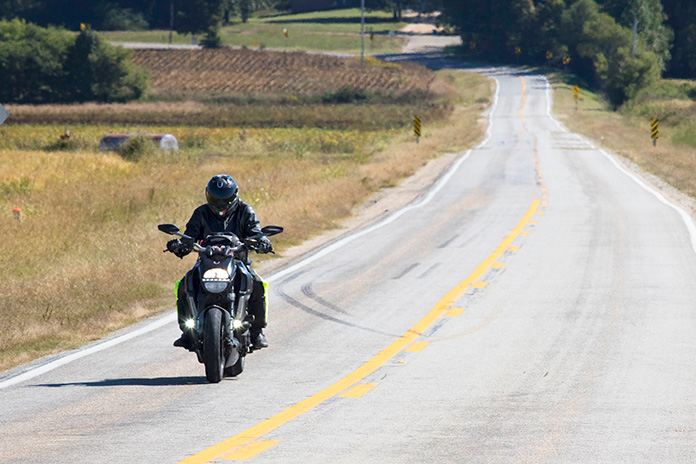
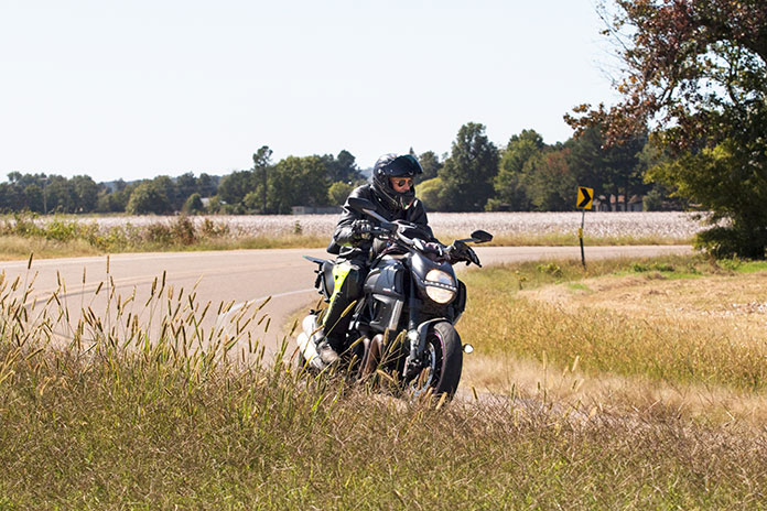
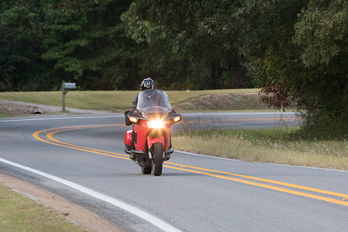
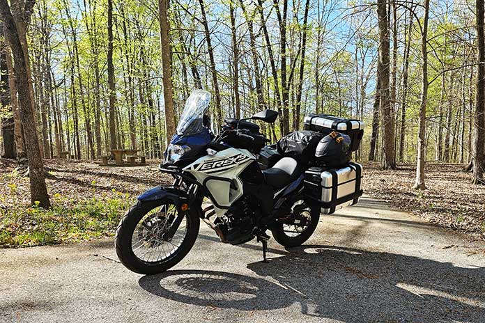
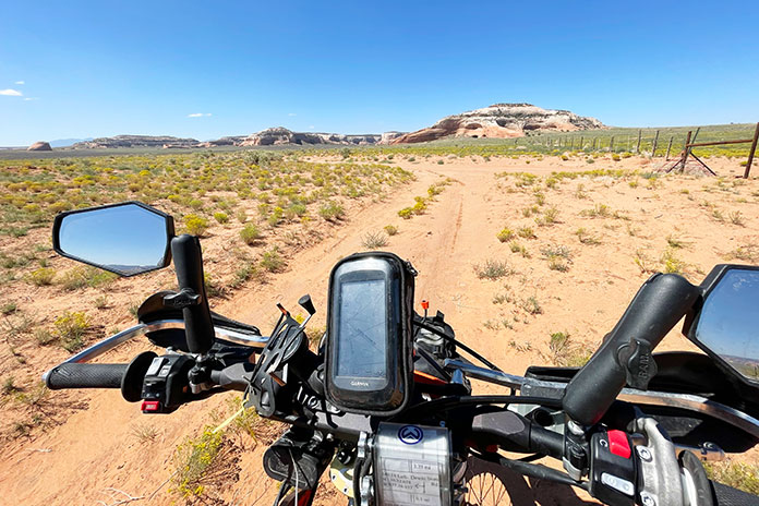
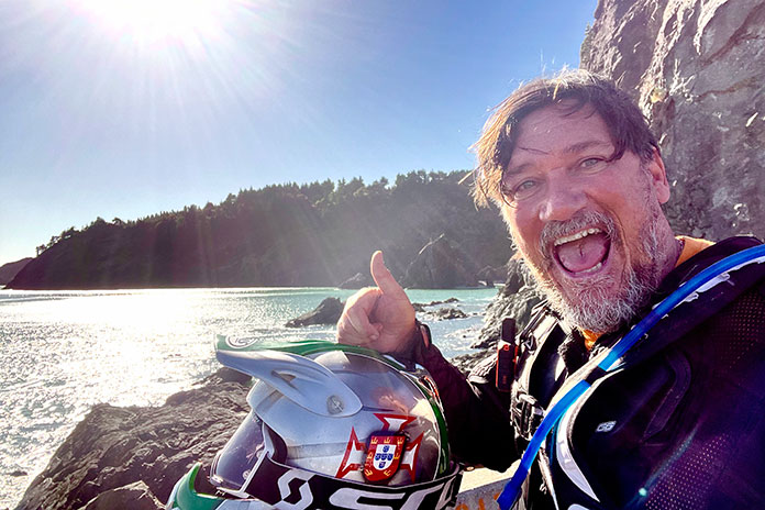
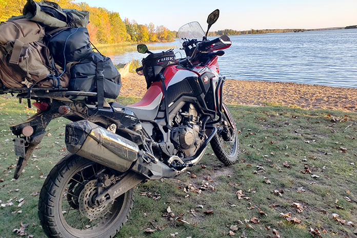
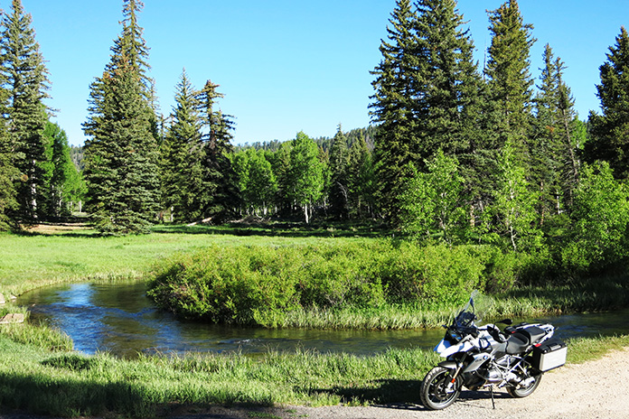
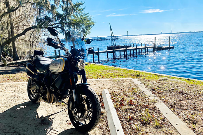
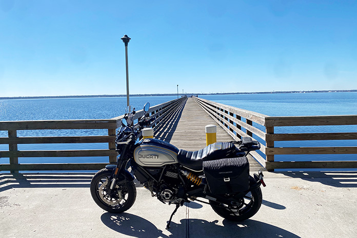
No longer having the benefit of the informative and entertaining car rides with George, I began going solo on a motorcycle (my own happy place) to explore more of “George’s Country.” Carving out a long weekend, I straddled my GS and headed north to investigate local attractions and, as George would, invest the time to talk with people and make new friends along the way.
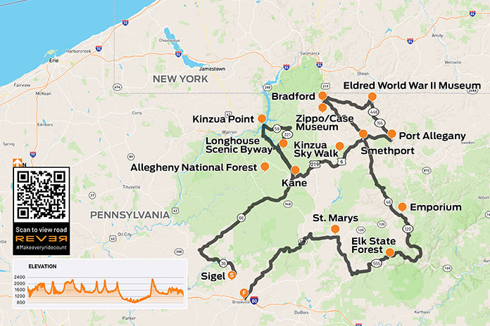
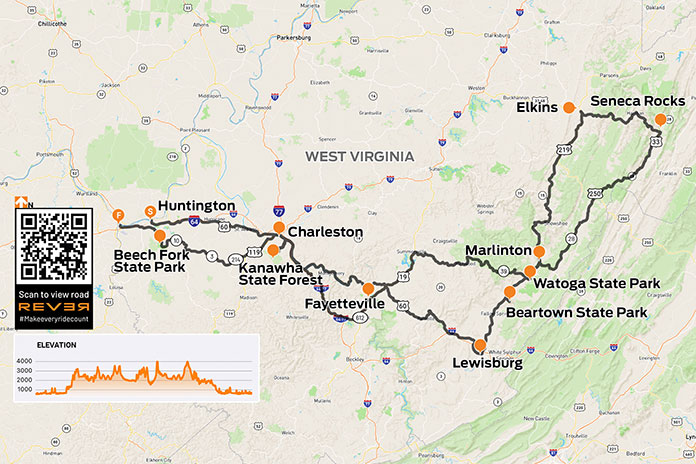
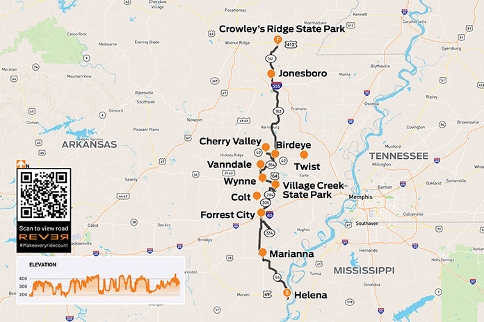
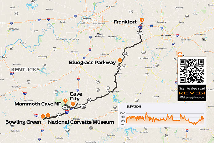
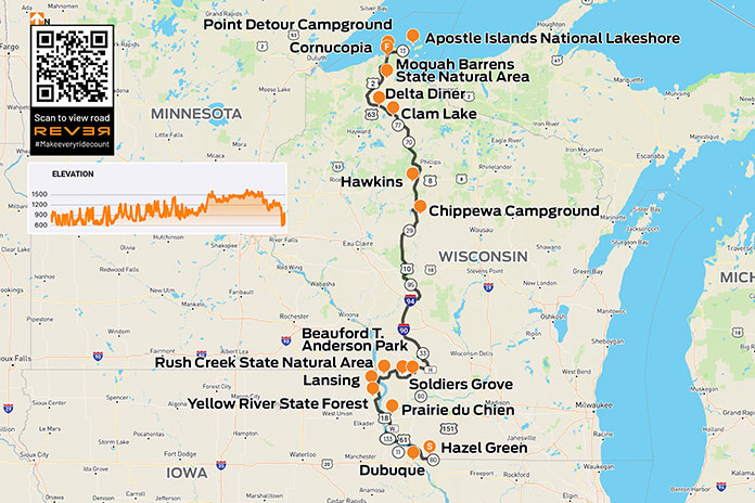
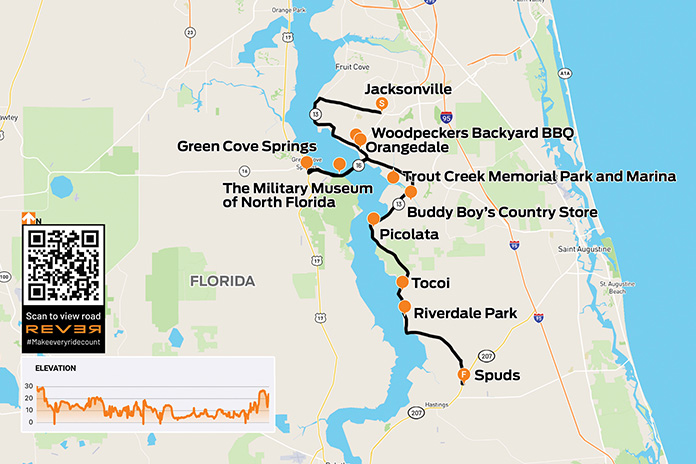
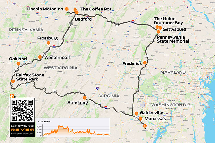
Scan QR code above or click here to view the route on REVER
(See RESOURCES at the end of the story for links to information about areas covered in this ride.)
George neither owned nor ever rode a motorcycle, although he did have a motorcycle endorsement. In Pennsylvania, there was a time when one could simply check boxes on the license renewal application to select endorsements. George chose car, motorcycle, commercial truck, and school bus. Fortunately, he stuck to cars. He said he thought he could make a motorcycle go but wasn’t confident he could get one to stop, which simply wouldn’t have fit his travel style since he enjoyed stopping often.
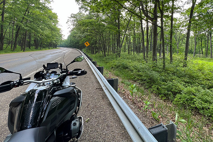
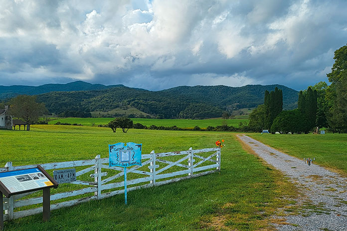
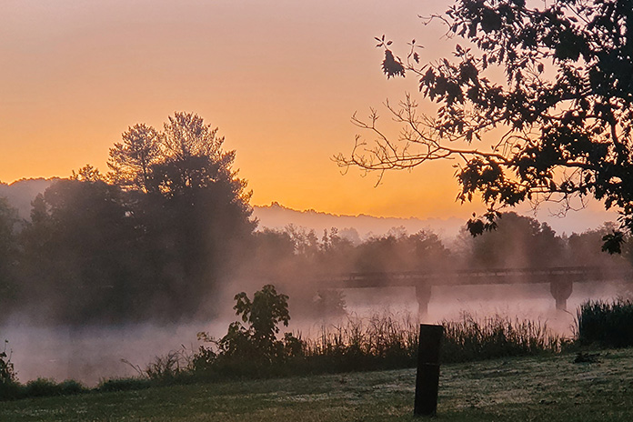
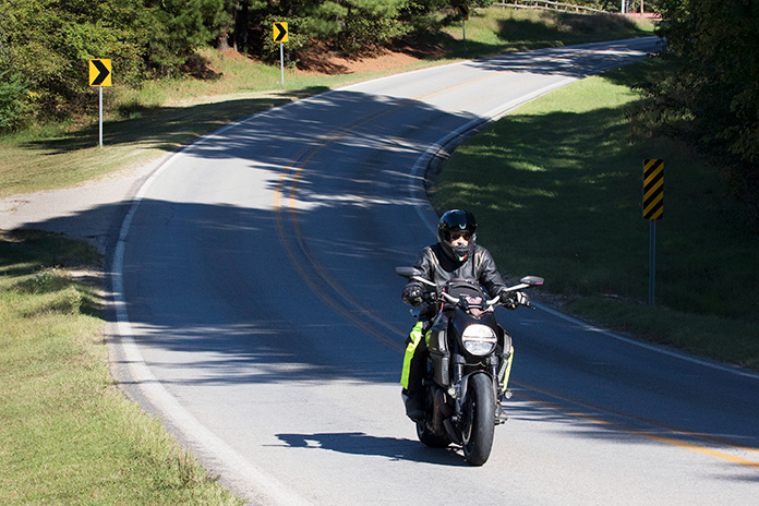
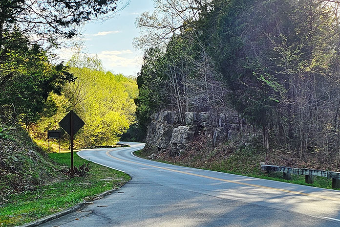
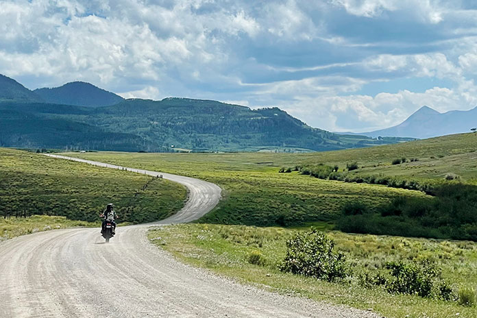
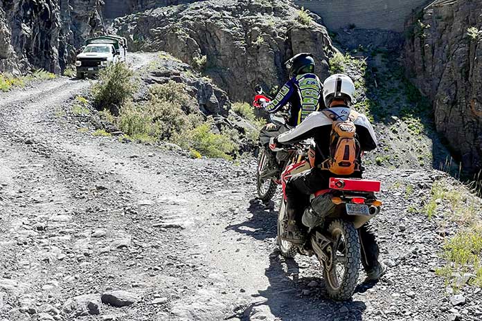
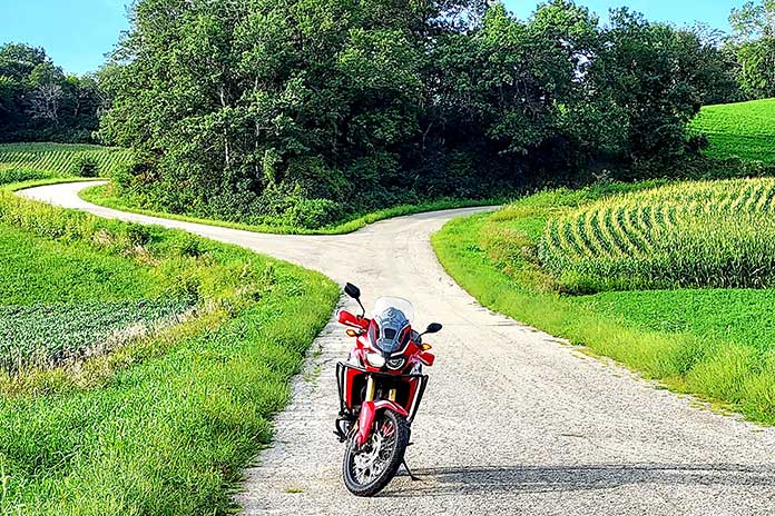
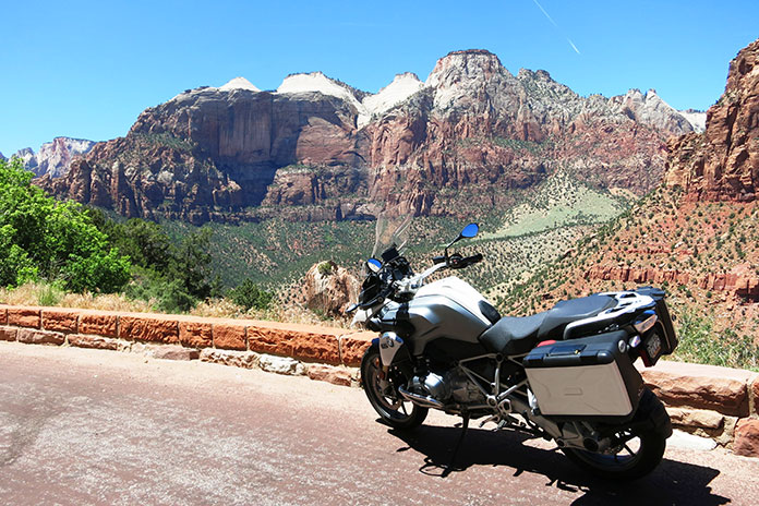
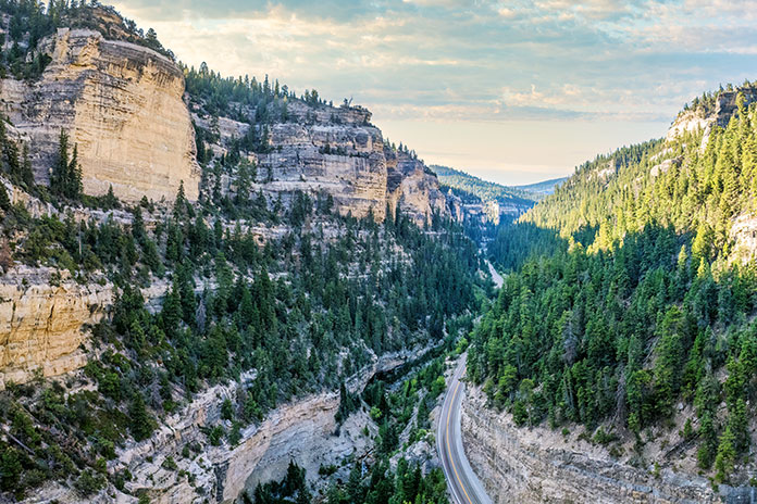
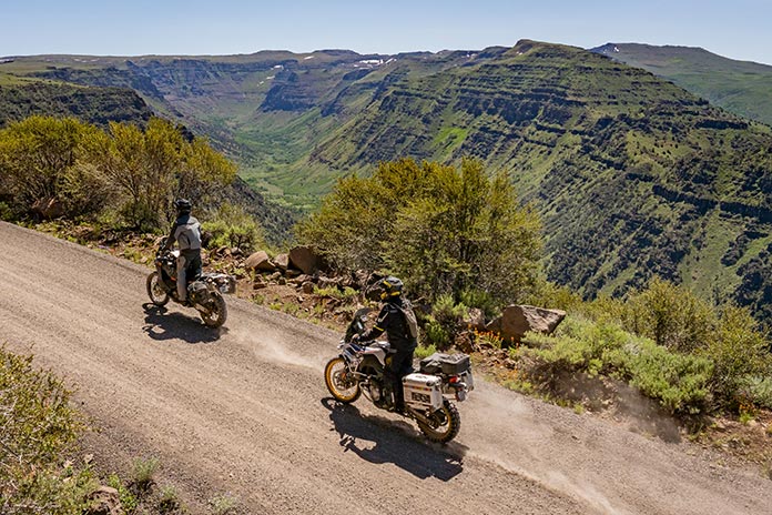
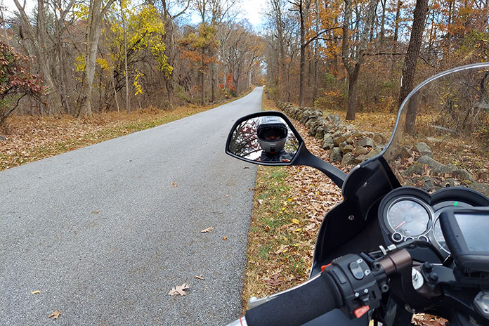
The farther into the forest I rode, the more my stress slipped away. The gently sweeping, rising, and falling roads pleasantly transitioned me to a calmer mind. A patchwork of idyllic farms and homesteads stretched across the valleys as folks offered friendly waves. Up here, life is simpler, less frenetic, and more down to earth.
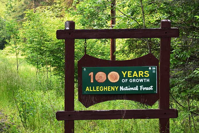
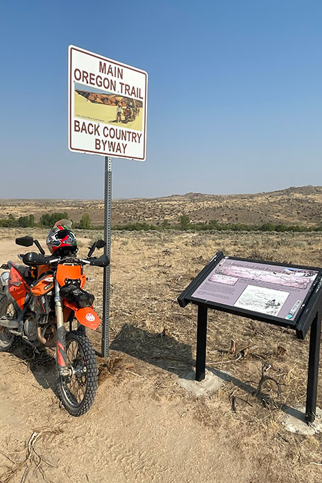
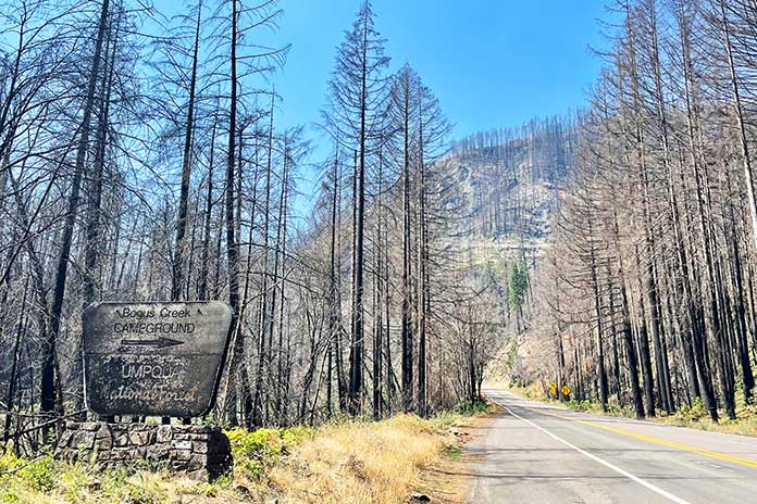
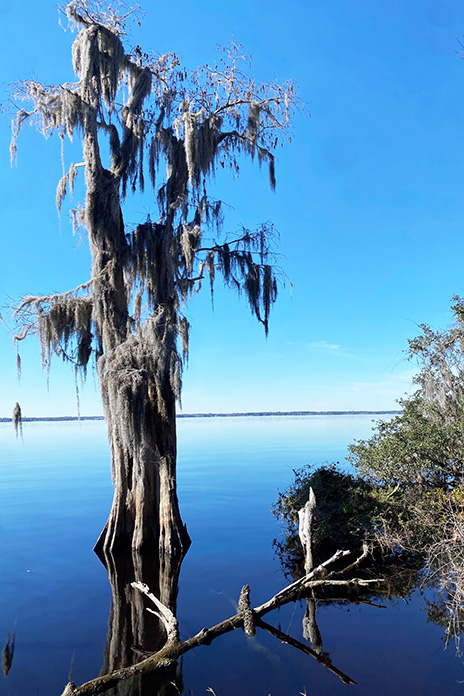
Along the road, I saw a sign proclaiming “100 Years of Growth.” The 514,000‑acre Allegheny National Forest celebrates its centennial in 2023, but unlike cities and suburbs, this is slow growth – unhurried evolution that builds strength and deep roots.
Towns and attractions in the area have powerful stories and deep histories that are easy to miss when one rides through a town or past an attraction without stopping. And here is where I must make a confession: I have a habit of allowing the momentum of a ride to urge me to keep rolling, and I convince myself I will revisit later when I have more time (I rarely do). Taking a cue from George, this ride would be about using the time I now have at my disposal.
See all of Rider‘s Pennsylvania touring stories here.
Citizens of Kane
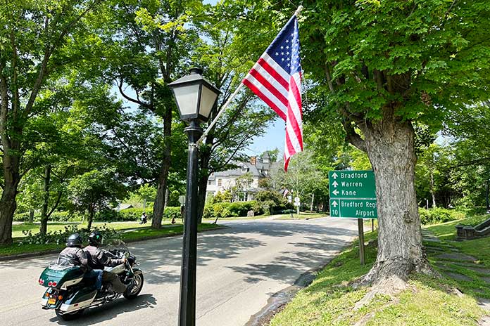
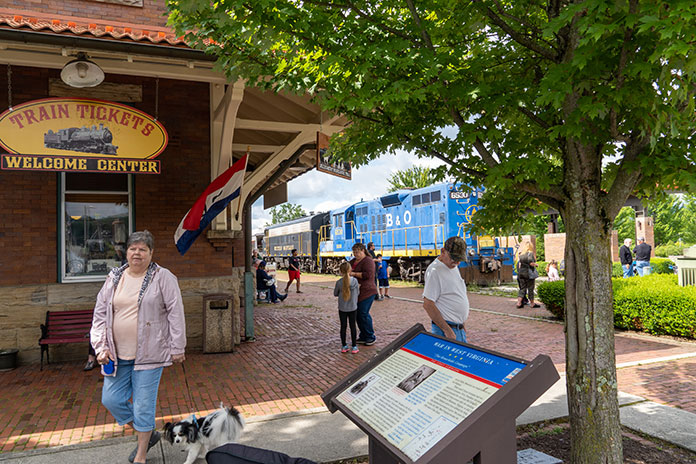
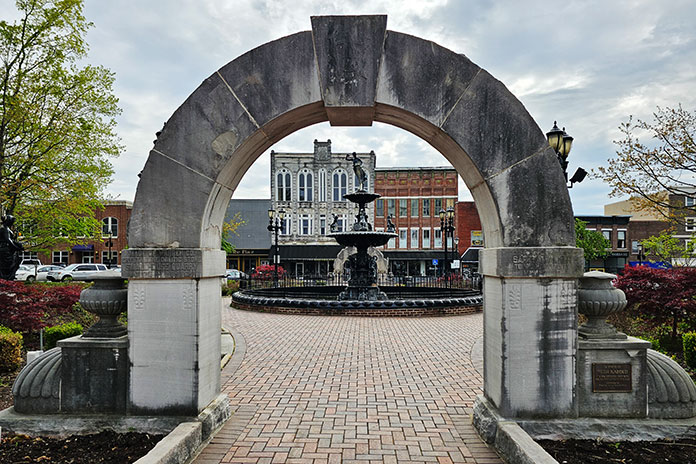
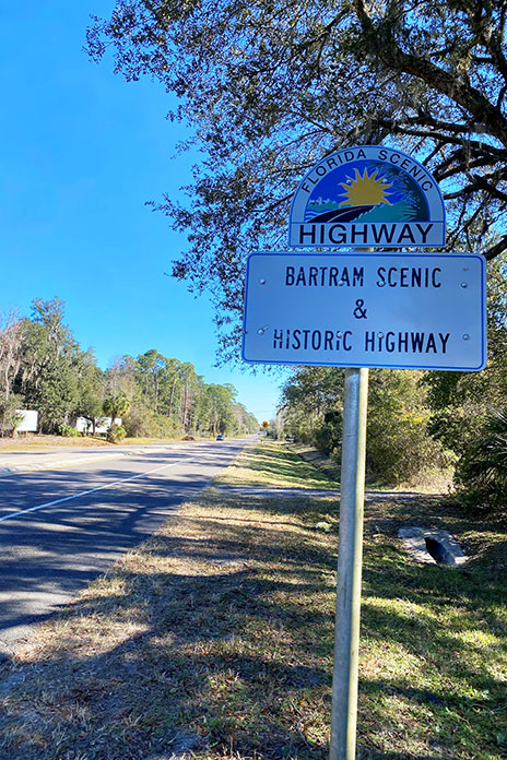
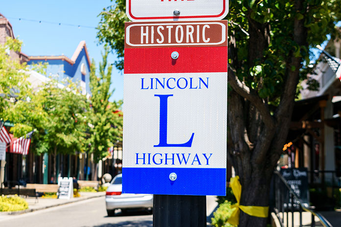
Traveling north on State Route 66, I saw a sign that proclaimed I had arrived at the gateway town of Kane, “A Star in the Forest.” This is also the junction with U.S. Route 6, known locally as PA Route 6, a favorite road among motorcyclists that stretches east/west across the length of the state.
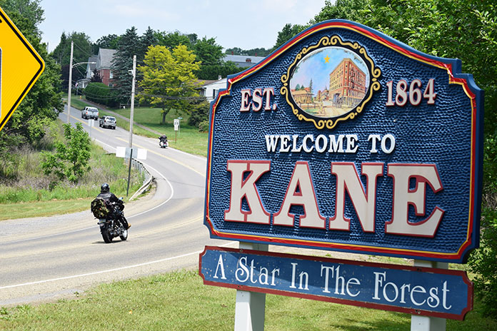
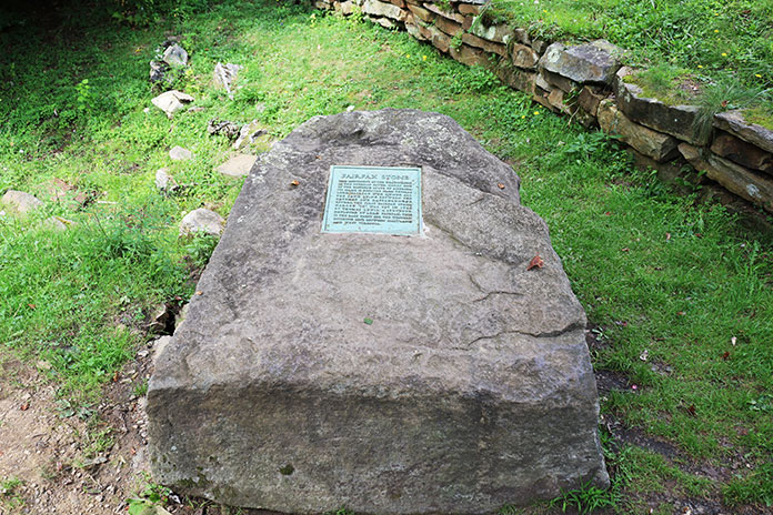
At the entrance to Kane is a railroad crossing and historic rail station set against the skyline of 19th century buildings. Built around 1871, the Kane Depot is now a museum dedicated to preserving the town’s heritage, which includes the role a Kane citizen (not Citizen Kane) played in saving the Mexican wolf from extinction. Who knew? A stone outcropping hosts a sculpted wolf and cubs and a plaque that toplines the story so that people do know, and the museum tells the story with vivid exhibits.
I idled into town, and as I had committed to doing, I stopped, walked around the business district, and even picked up a tourist map of the area (available at nearly every establishment in the region and a great resource for finding “can’t miss” stops and favorite motorcycle routes; also see the Resources at the end of this article).
See all of Rider’s Northeast U.S. touring stories here.
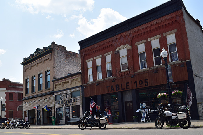
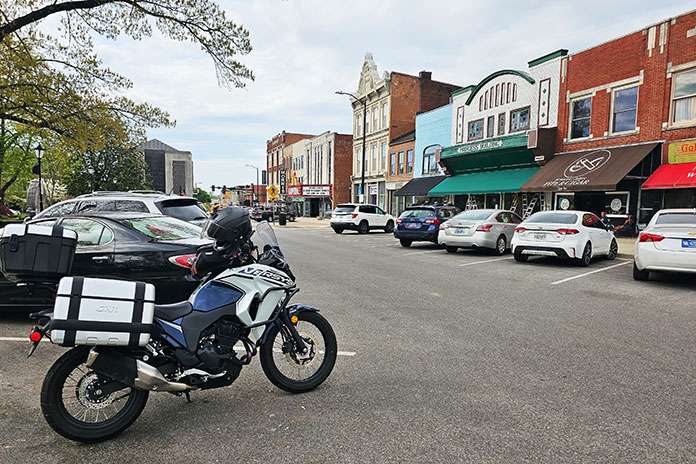
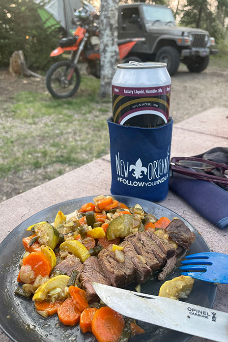
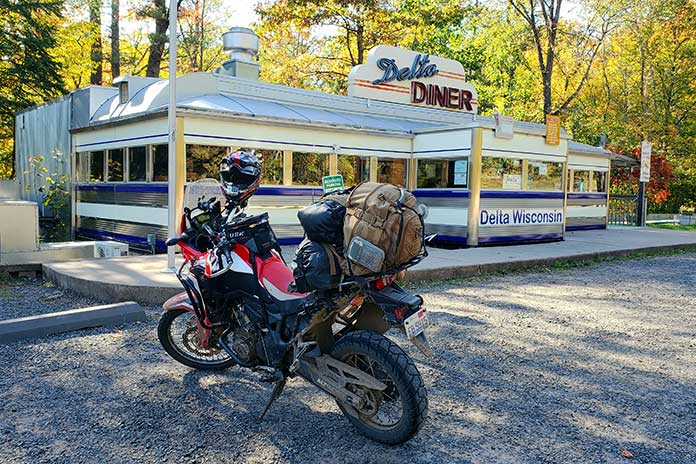
I love how these old towns are being revitalized with local businesses, restaurants, breweries, and shops – not the endless stretch of chains found near every city, suburb, and interstate exit. Here was Logyard Brewing, which specializes in sourcing ingredients native to the immediate Pensylvannia Wilds area. I was still on my ride so didn’t partake, but I did poke my head inside for a look. Very cool. Similarly cool is Table 105, located next door. I knew I had the right place for lunch when I spotted the ’72 Indian minibike hanging on the wall (I had one as a kid). The atmosphere was an ideal mix of vintage local architecture, modern brew pub, and northwestern PA kindness. Taking my server’s suggestion, I ordered a barbecue chicken pizza that was nothing short of amazing.
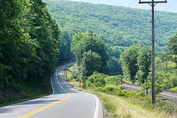
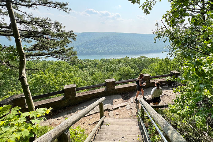
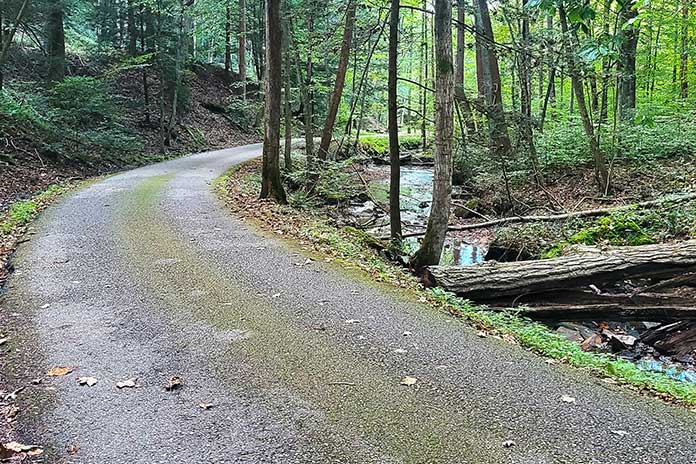
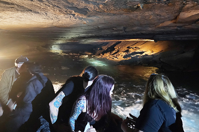
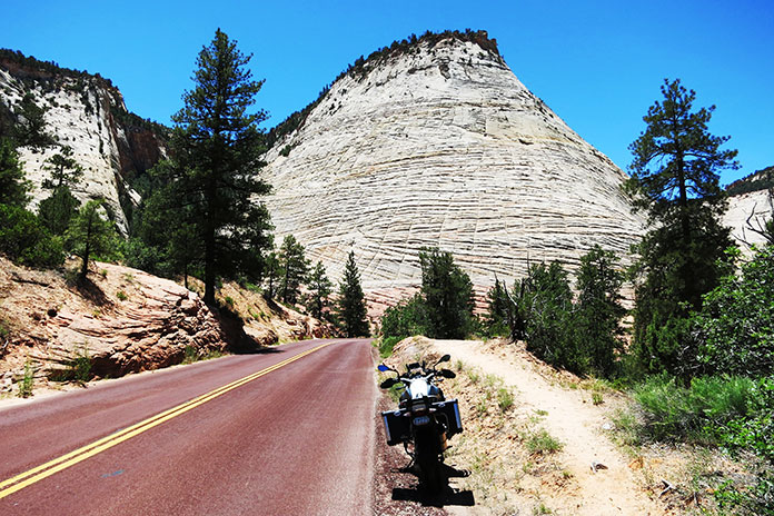
With a full belly and a few hours of sun left, I pointed the bike north for a loop up to Kinzua Point and back. A gentle ride along State Route 321 traced the western shore of the Allegheny River. At 321’s terminus, a left on State Route 59 took me deeper into the trees. Campsites, recreation areas, trails, and scenic overlooks abound, although one would never know if not for the signs since each is tucked away in the trees. Resisting my natural inclination to press on, I turned at the Rimrock Overlook sign. A narrow and winding well‑paved path through the trees is followed by a short, easy walk to a spot where the limited view dramatically opens to a majestic vista of forested mountains and the wide river below. I gave George a virtual high‑five.
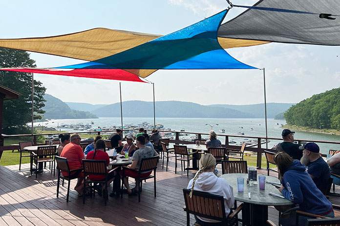
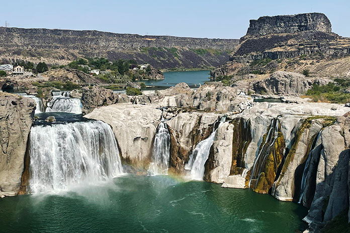
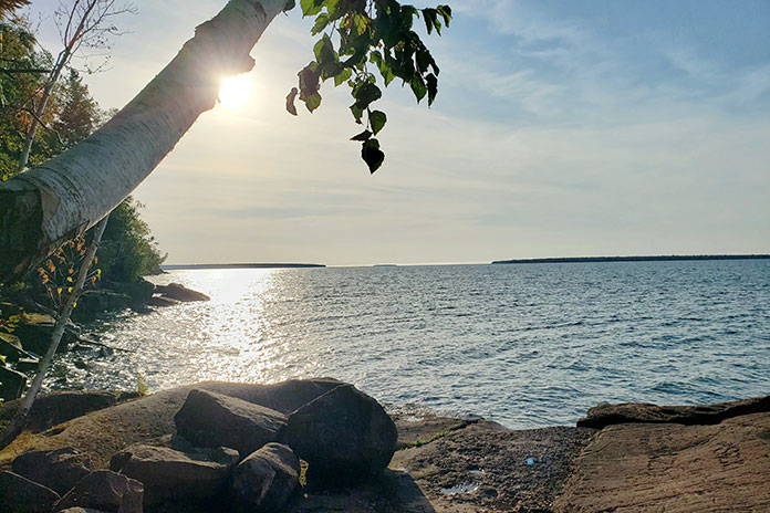
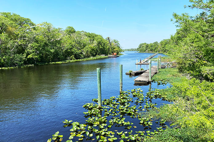
Back on Route 59 heading west, the forest opens to spectacular views of pristine water. This is the Allegheny River where its expanse forms the roughly 10,000‑acre Allegheny Reservoir thanks to the Kinzua Dam – one of the largest dams east of the Mississippi.
As the sun began its downward journey, I began my own, turning south on the Longhouse National Scenic Byway, where I was met with more of the twisting, rising, and falling terrain that makes me glad to be on a motorcycle. The path teased me with periodic peeks at the water to my left as I traced the opposite side of the river.
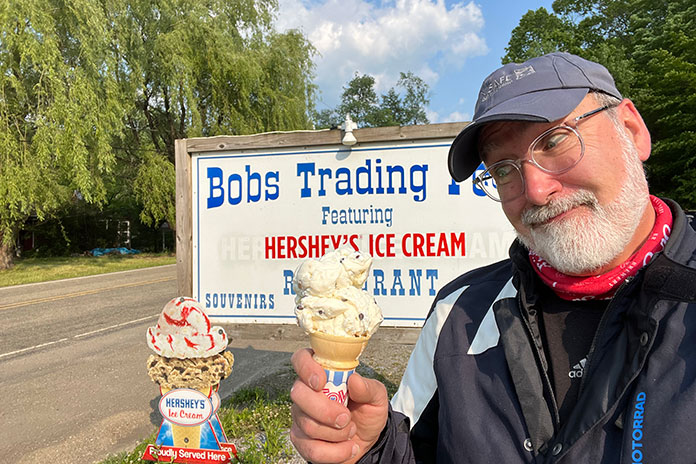
I made an obligatory stop for ice cream at Bob’s Trading Post. I ordered a small cone, but the kid behind the counter kept piling on scoops until I finally asked him to stop, reminding him that I ordered a small. He informed me that a “small” at Bob’s has three giant scoops of ice cream and said what I wanted was a “baby” cone. Sheepishly, I said to make it a baby cone then. With big baby cone in hand, I proceeded past the line of regular patrons who were clearly enjoying our exchange.
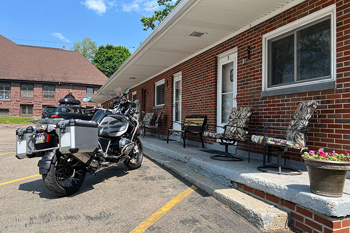
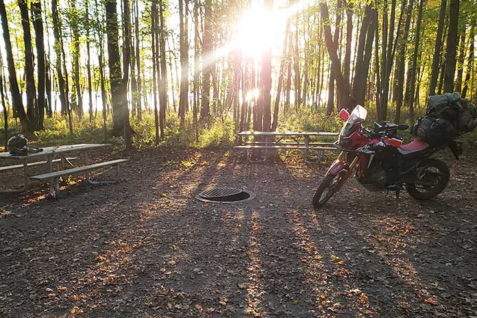
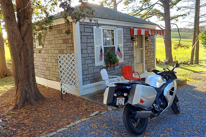
With the loop complete, I wheeled into the Kane Tourist Home & Motor Inn. It’s a throwback to old‑time travel when tourists would stay in converted old mansions (a “tourist home”) or later, in one of a row of private rooms with parking spots at each front door. It would be the motor inn for me. Built in 1952, it doesn’t seem to have changed much. The rooms have wood‑paneled walls and vintage framed pictures. Pink tile adorns the bathroom. As it was back then, there’s no television, but the new owners do provide wi‑fi in case a traveler can’t go a night without streaming something. I chose to sit on a chair outside my room, sip good bourbon, and watch neighborhood kids play outside (a rare sight where I live).
The motor inn was just off the main drag, so I walked to a quaint little winery called Twisted Vine where a delightful and bright young lady was behind the bar and a youngish couple were seated to my left. Surprisingly, folks weren’t absorbed by their mobile devices; they were engaged in conversation. I was welcomed into a pleasant chat with all of them, during which I learned more about the area, about how the town of Kane has been making a comeback, about local musicians, and more. Because I stopped, I made new friends. This is one of the things I enjoy so much about traveling by motorcycle. It gives me the opportunity to escape and, at the same time, reconnect with life in a more meaningful way. Nothing fake. No agendas. Just engagement with good people in an atmosphere that is relaxed enough to invite conversation. More and more, I came to understand George’s fascination with this area.
One Becomes Two
My friend and fellow motorcycle safety expert Hal Deily joined me the next day for the rest of my Allegheny National Forest motorcycle ride. It was fun to see how Hal, a guy who has lived within the city limits of Pittsburgh his entire life, was enjoying the vast ancient forests, the well‑preserved countryside, and the hospitality of small‑town communities. Being naturally social, Hal immediately struck up conversations with wait staff, shop owners, and patrons. He and I got into our typical back‑and‑forth banter that entertained the locals (we think), and as I did several times on this journey, I thought back to how George and his brother‑in‑law Billy would often be the center of attention anywhere they went as they shared stories and told old jokes to new audiences. They were never obnoxious, just good spirited and lighthearted people who were fun to be around.

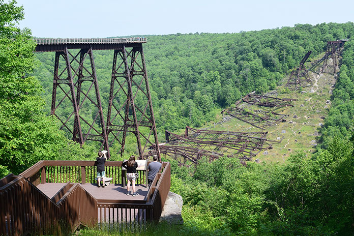
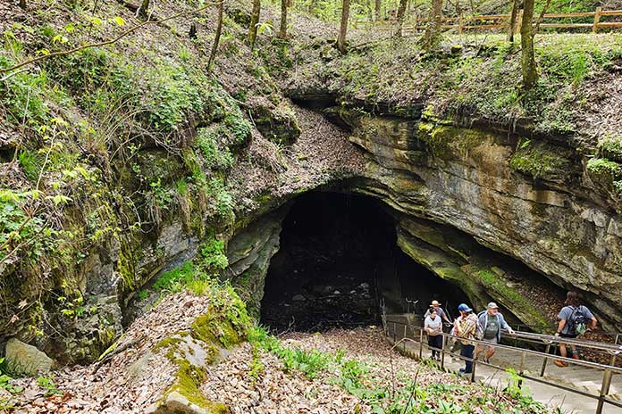
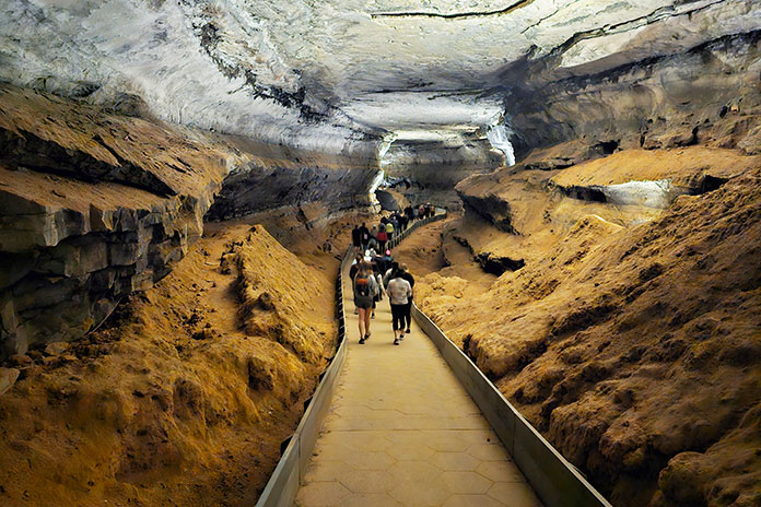
After breakfast on PA Route 6 at the Barrel House, we continued toward the Kinzua Sky Walk, rated “One of the Top 10 Most Beautiful Skywalks and Viewpoints in the World,” at Kinzua Bridge State Park. Once the highest and longest railroad viaduct in the world, a direct tornado strike in 2003 wiped out more than half of its span. The mangled wreckage of steel towers rests in perpetuity on the valley floor more than 200 feet below what is now a prime viewing area at the far end of the surviving structure. This is a must‑see destination for any ride in the area, evidenced by the volume of motorcycles in the parking lot.
In addition to delightfully laid‑back two‑lane riding, PA Route 6 presents many rewarding sights and significant historical areas of interest. Magnificent Victorian mansions line the way through downtown Smethport, evidence of a game of architectural one‑upmanship played by the area’s lumber barons during the 19th‑century timber boom. There, Hal and I stumbled upon Old Town Smethport, the home of “America’s First Christmas Store.” It’s also an eclectic collection of historical displays that includes old‑fashioned toys, an original stagecoach, a vintage delivery truck, a rustic log cabin, and even a Civil War cannon and artillery. I can’t help but think George would have loved this place. And I’m glad Hal and I took the time to stop, even though it meant shedding all our riding gear once again.
Just west of Port Allegany is an eye‑catching structure along the road called Lynn Hall. Built in the Modernist style (think Frank Lloyd Wright), this stunning 1930s residence is an unexpected gem in the woods. But don’t blink or you’ll miss it!
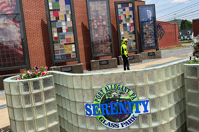
Port Allegany is surrounded by natural resources ideal for making glass. That’s what brought Pierce Glass to the town in 1917, followed later by Pittsburgh Corning, makers of architectural glass block distributed worldwide. That proud heritage is celebrated in the Serenity Glass Park, an art display in the heart of town. Murals and sculptures made of colored glass fill the garden. I wish we could have viewed it after dark when the garden is electrified by lights. It must be spectacular.
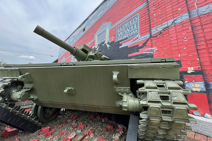
Following a tip, Hal and I turned north onto State Route 155 and then 446 toward the town of Eldred to visit the Eldred World War II Museum. This small community nestled in quiet hills was the site of a munitions plant during the war, producing millions of bombs, shells, and fuses in support of America’s war effort. The museum features a fascinating collection of period artifacts, photos, vehicles, uniforms, weapons, and models. There is a stunning amount of history housed here (just be ready for a curator who is anxious to provide abundant historical – and editorial – commentary).
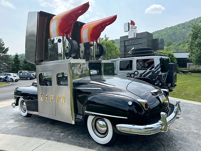
No Allegheny National Forest motorcycle ride is complete without a stop in Bradford and the Zippo/Case Museum. This world‑class museum wraps the visitor in living history as they walk through the back stories of Zippo windproof lighters and Case knives. Photos, videos, vintage advertising, promotional vehicles, and prototype products bring the stories to life, cleverly showcasing how the products have become part of the fabric of American (and world) culture. I was fascinated by a display of destroyed lighters that had been returned for repair or replacement. (Zippo’s guarantee has always been, “It works, or we fix it for free.”)
Hal and I then took a ride through downtown past the Marilyn Horne Museum, but we were too late to catch this tribute to Bradford’s big opera star, who was once described as “probably the greatest singer in the world” by Opera News. Instead, we wound our way to Bradford Brew Station for a late, nonalcoholic lunch. The brewery has a great reputation, but we still had to ride to our hotel across town. In contrast to the prior night in Kane, we grabbed rooms in a modern Holiday Inn Express that was both affordable and perfectly comfortable. A brisk walk through town to the Papa Scoop’s ice cream stand near Zippo corporate headquarters was the perfect nightcap.
In the morning, Hal and I opted to ride from Bradford down through Emporium and into the Elk State Forest where we picked up the fabulous State Route 555 along Sinnemahoning Creek to Benezette. A little side loop on Winslow Hill Road rewarded us with fun two‑lane riding and spectacular elk viewing areas.
A quick sprint up to St. Marys (home of Straub Brewery) was followed by a jaunt to the quaint town of Ridgeway for lunch where Hal and I channeled George and Billy once more, telling polite jokes and laughing with the server and other guests. You just can’t help but be jovial here. And maybe, in the end, I guess that’s what makes the forest so special: It brings out the best in people. By George…I think I’ve got it!
See all of Rider‘s touring stories here.
Allegheny National Forest Motorcycle Ride Resources:
- Allegheny National Forest Visitors Bureau
- PA Route 6 Alliance
- Pennsylvania Wilds
- Kane, PA
- Kane Tourist Home & Motor Inn
- Smethport, PA
- Eldred World War II Museum
- Zippo/Case Museum
- Holiday Inn Express (Bradford, PA)
The post Enlightenment in Pennsylvania: An Allegheny National Forest Motorcycle Ride appeared first on Rider Magazine.
Source: RiderMagazine.com
