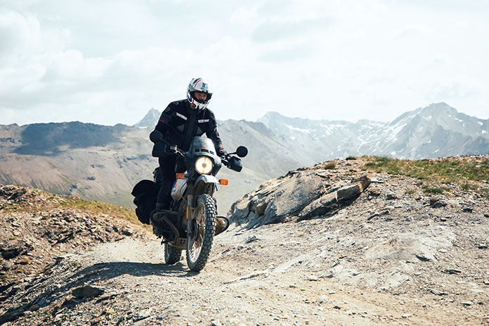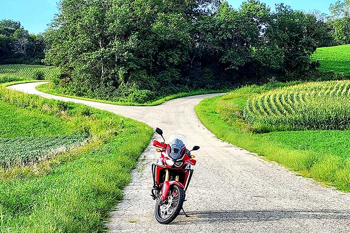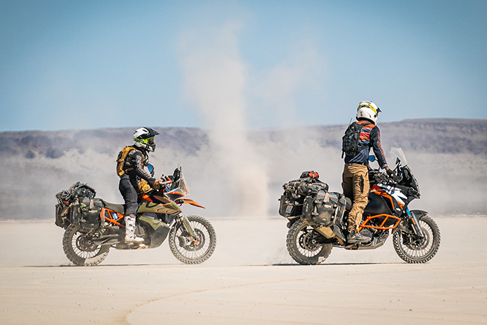
We all have beliefs about what’s expected of a motorcycle camper, and sometimes it takes a certain situation to bring those expectations to the surface. For me, it took heavy rain on a mountain road during a West Virginia motorcycle ride to point out my principles on motorcycle travel and what type of person I thought I needed to be to do it.
A Beautiful Beginning
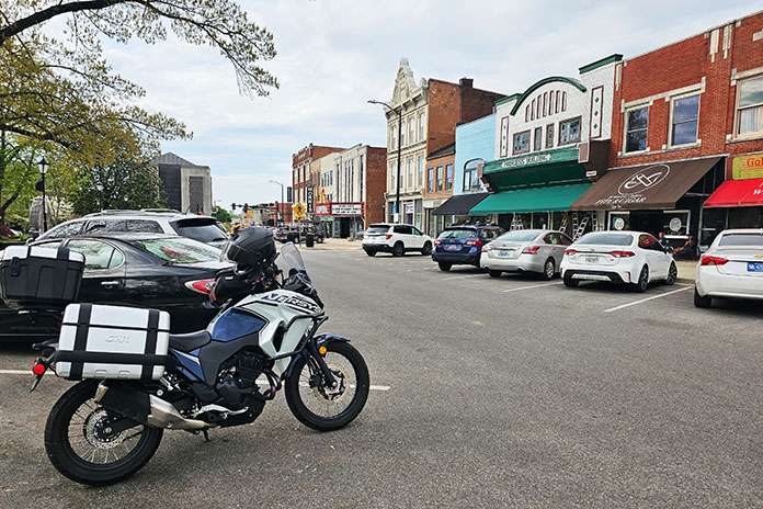
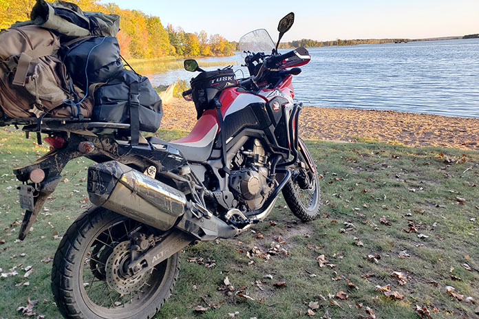
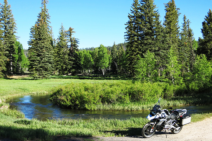
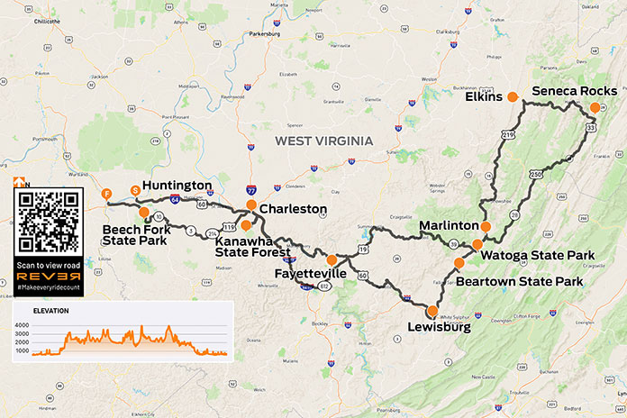
Everything was going according to plan. I was on a solo motorcycle camping trip across central West Virginia along the Midland Trail National Scenic Byway (U.S. Route 60), and I spent my first night at the Kanawha State Forest campground. My campsite was pleasantly remote and on top of a bridge that crossed a scenic running creek. Waking up to the sound of gently flowing water was an energizing start to what would be an amazing day – or so I thought.
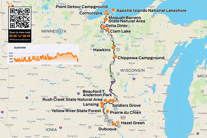
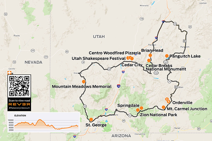
Scan QR code above or click here to view the route on REVER
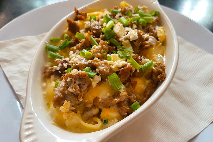
I packed up my gear and headed into Charleston for an early lunch. I chose Adelphia Sports Bar & Grille in the historic downtown area and enjoyed the best dish I’ve eaten on any of my dozen or so motorcycle camping trips to date: gyro macaroni and cheese, perfectly spiced gyro meat atop pasta shells and a creamy, cheesy sauce. I was in heaven.
The First Rainstorm
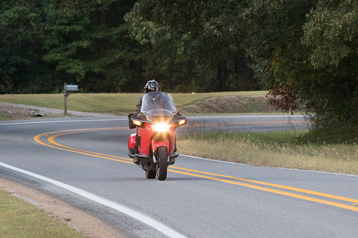
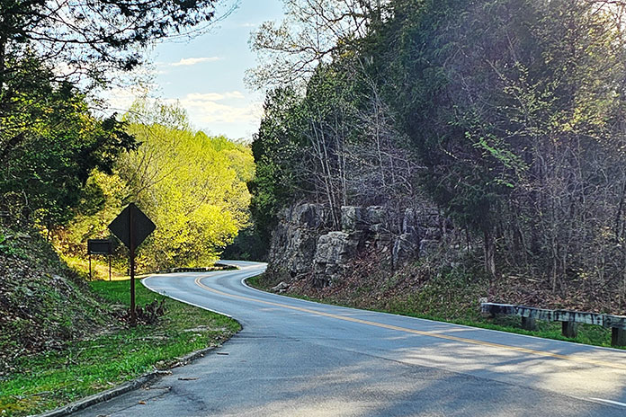
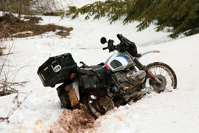
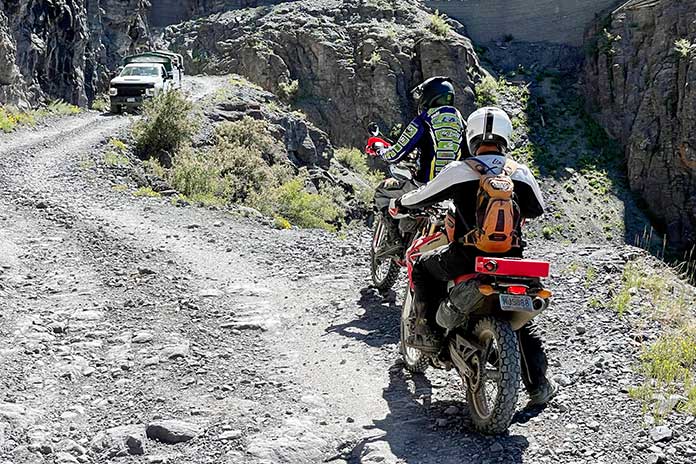
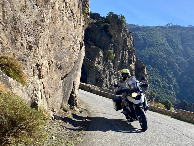
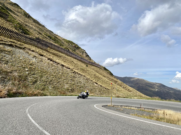
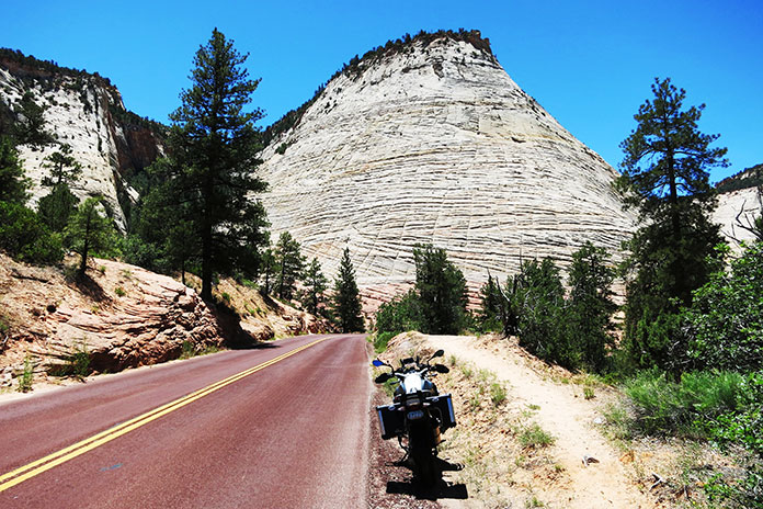
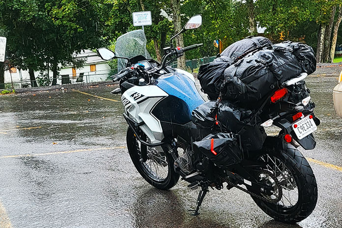
Having thoroughly enjoyed my meal, I took off along the curvy Route 60 on my way to Lewisburg. Along the way, it started to drizzle, but my waterproof gear was doing its job. Then the rain intensified from a drizzle to a shower and eventually a torrential downpour. The road became curvier, with switchbacks and hairpins that would have been delightful on dry pavement but were treacherous when wet. Not trusting my tires as sheets of water ran across the corners, I was stiff and tense. Having nowhere to stop for cover, I had no choice but to press on.
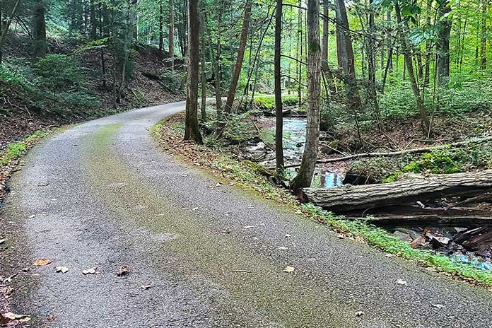
Seeking relief, I consulted the navigation app on my phone and found a shortcut. To my dismay, the shortcut turned out to be a one‑lane road with no shoulder – my least favorite type of road – and was no less treacherous in terms of cornering. I accidentally took a wrong turn onto a deserted side road, and then the navigation rerouted me to a sharp, steep downhill left turn that would lead to another side route. I froze, uncomfortable with such a tight turn on wet ground.
Deciding that I should go back to Route 60, which at least had lane lines and a shoulder, I suddenly noticed two giant German shepherds nearby, glaring and growling at me. As they both started running toward me, I quickly accelerated and turned down that steep incline to get out of there faster than they could run. That’s one way to initiate a turn you don’t want to take.
I continued on the narrow, curvy road. My nerves were frayed by this point, and I even had a desperate thought that I should pull over and call my husband to come get me – a ridiculous notion, given that I was nearly eight hours away from home.
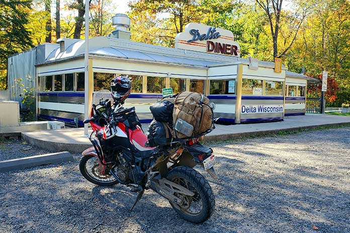
I finally made it through the not‑so‑shortcut and back onto Route 60, bitter that I could have just stayed on it the whole time. I started seeing signs for Lewisburg and have never been so relieved as when I pulled into Hill & Holler, the pizza place I had programmed into my phone.
Carbohydrate Therapy
After taking off my soaking wet gear and ordering a 12‑inch pizza all for myself, I settled in and let my frazzled nerves relax. I wasn’t sure what to do next. My reserved campsite was still an hour away – also along mountain roads. This time, the roads were ones that I had never ridden before, and on the map, they looked as curvy as where I had just been.
Deep down, I wanted to get a hotel. The thought of riding another hour or two in unrelenting heavy rain and setting up a soggy campsite sounded downright miserable. I messaged my husband and some of my riding friends; he supported the hotel idea, but they encouraged me to press on. They said it would be worth it, that I could do it, that there was no giving up or turning back. I felt guilty for thinking about giving up and getting a hotel, even though I knew it was the safest thing to do.
Never one to back down from a challenge, I decided to continue, leaving the pizza place after cleaning up the massive puddles my dripping gear had left on their floor. Once outside, I discovered it was raining even harder. I hopped on and rode to the nearest gas station to fill up, and as my visor fogged up completely, I decided enough was enough. I found a hotel less than half a mile down the street and checked in. After carrying my luggage up the stairs and stripping off my water‑logged gear, I collapsed onto the bed.
At this point, I felt terrible about myself and my decision. I had given up, taken the easy way out, let down myself and everyone who was cheering me on. I realized I had high expectations of myself as a motorcycle camper – that I should be tough and resilient, but instead I was a wuss. Other female moto campers I had seen on social media portrayed themselves as “hardcore” as they slept sitting up or spent the night under a bridge. Why couldn’t I make it through a little rain?
After a hot shower and some takeout, I started feeling better about my decision. Staying in a hotel allowed me to regroup and relax, and it was nice to drift off to sleep in a dry, comfortable bed.
Bears and Boulders on a West Virginia Motorcycle Ride
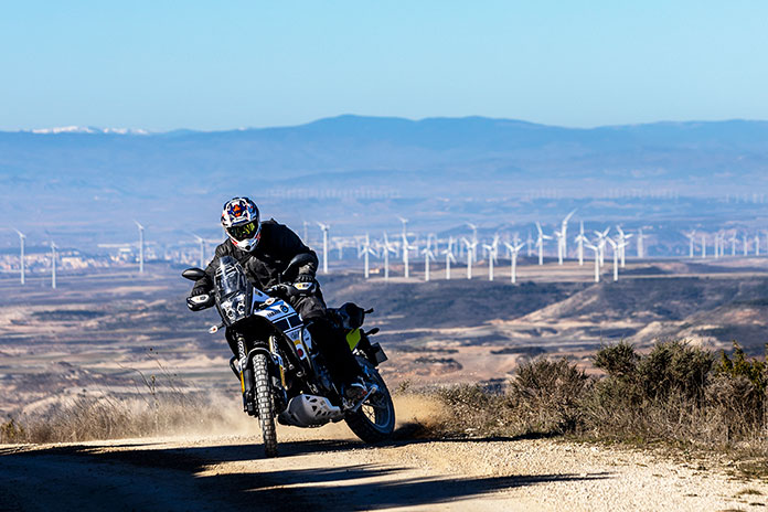
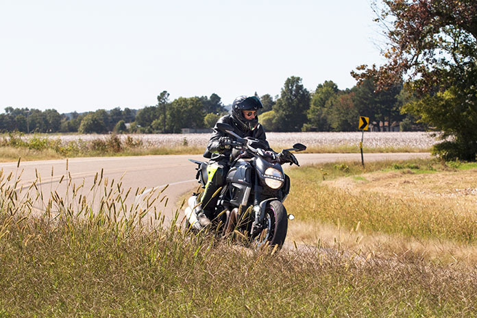
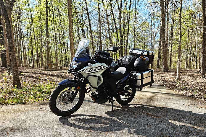
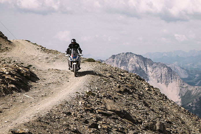
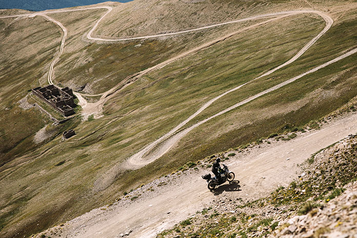
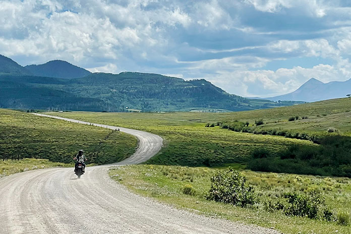
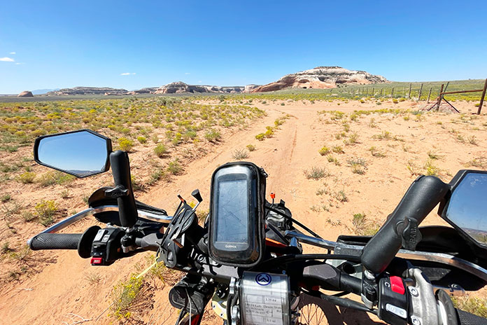
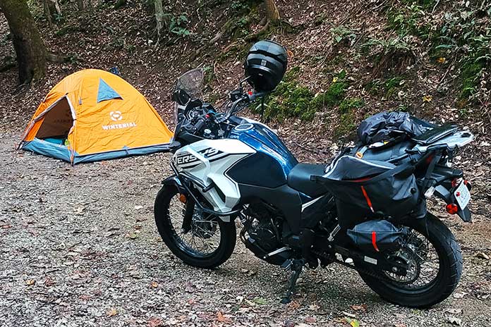
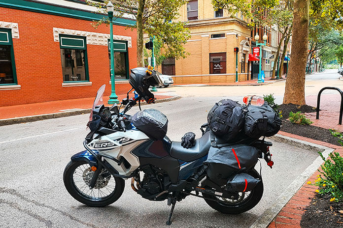
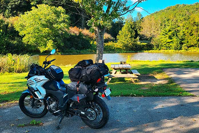
The next day, I awoke to sunny skies and headed north on U.S. Route 219, also known as the Seneca Trail and part of the Seneca Skyway loop route. The ride was thrilling. For a while, I forgot I was on my Kawasaki Versys‑X 300 adventure bike since it was handling the curves like my Ninja 400.
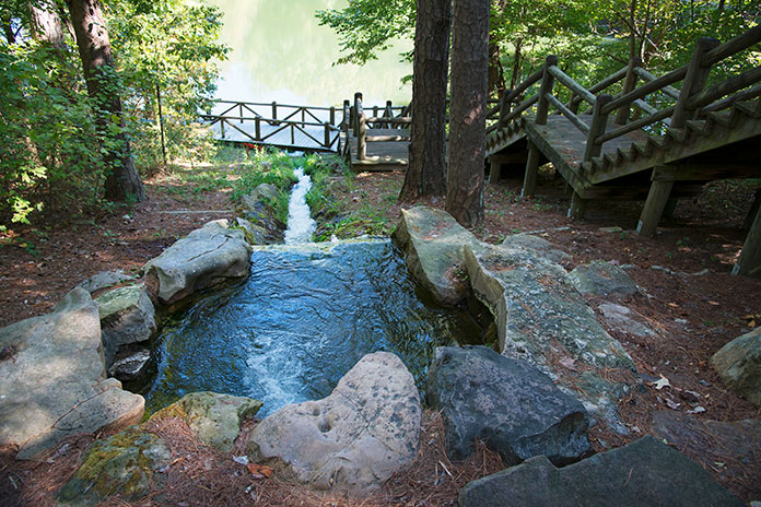
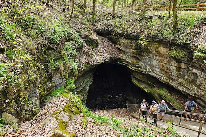
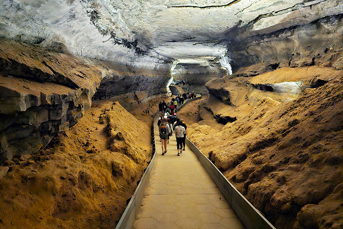
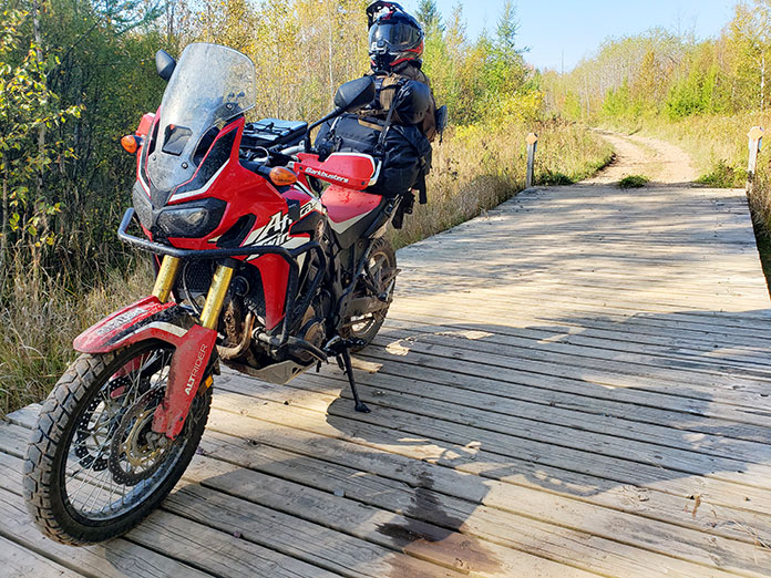
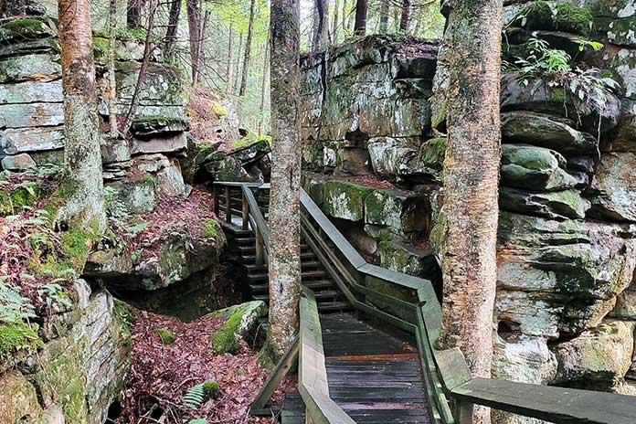
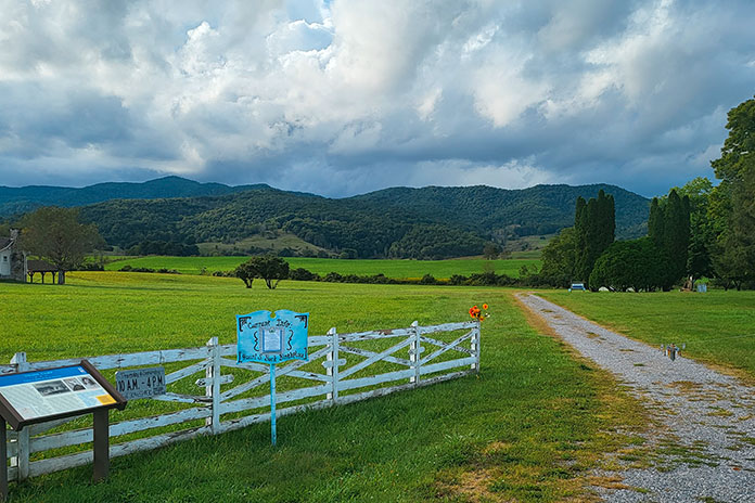
After a thoroughly enjoyable half‑hour of riding, I dropped my kickstand at Beartown State Park, a must‑stop for an avid hiker like me. Beartown has one of the most unique hiking trails I’ve ever experienced, a half‑mile stroll on wooden boardwalks that wind through imposing rock formations on all sides. I was one of the only people there, so walking through this “town” of large boulders was quiet, a little eerie, and the perfect reward after the trials I’d been through the previous day.
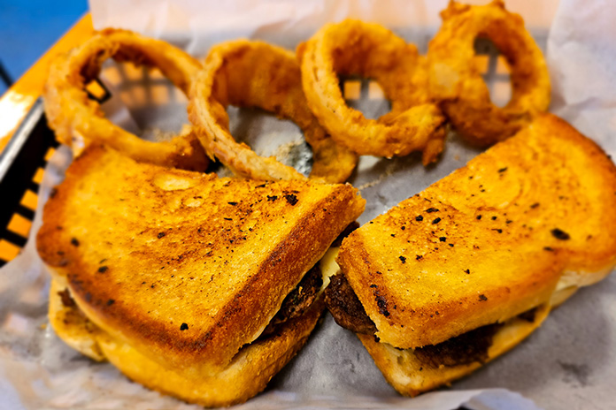
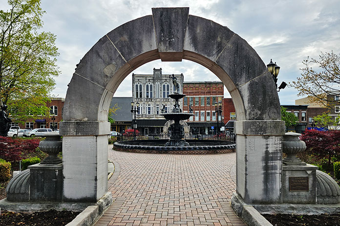
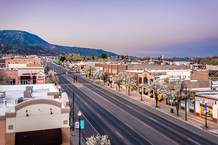
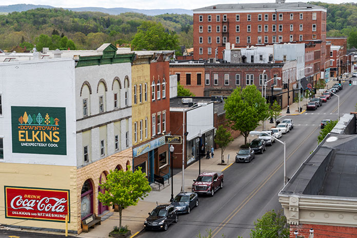
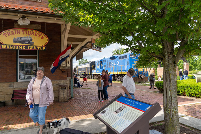
Route 219 took me all the way north to Elkins, a charming historic town that serves as the seat of Randolph County. Elkins was a coal and timber town in the late 19th and early 20th centuries. Its revitalized downtown has restaurants, bars, shops, lodging, and museums centered around the restored Elkins Depot, where you can take a scenic train ride on the Durban & Greenbrier Valley Railroad. Scottie’s of Elkins, full of locals and serving hearty, delicious comfort food, was the perfect place for lunch.
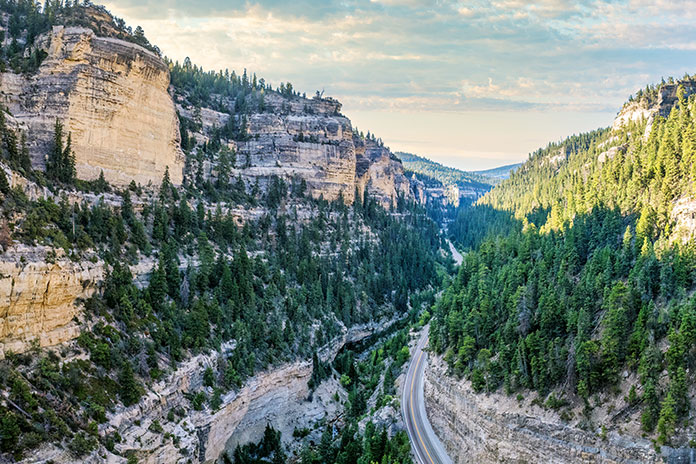
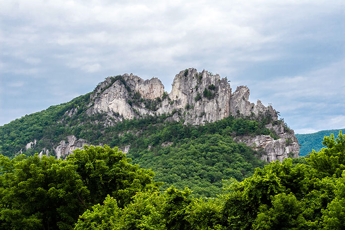
Riding east out of Elkins, U.S. Route 33 follows a winding path up and over the Allegheny Mountains, crossing several rivers along the way to Seneca Rocks, a scenic rock formation that’s popular among climbers. I stayed on Route 33 to Judy Gap, where I continued south on State Route 28, enjoying curves and sunshine all the way to Watoga State Park.
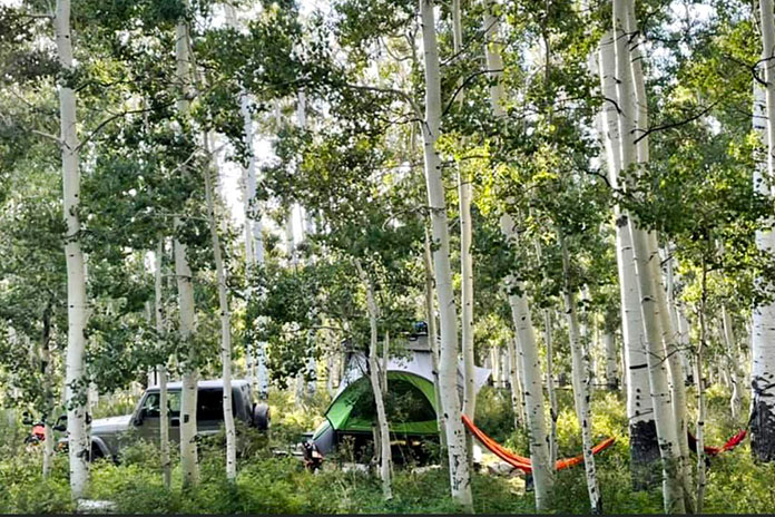
After setting up my campsite, I walked to the bathhouse and was stopped by a man in his 70s who was in better shape than I am. He yelled out from across the yard, “Are you the biker lady?” I laughed and responded, “Yes sir, that’s me.”
He asked where I had come from and where I was going. When I mentioned I had planned to spend the previous night here but stayed in a hotel instead because of the rain, he exclaimed, “Oh, you sissy!” I was taken aback and momentarily hurt until he laughed and followed his insult with the remark, “Yea right. I’ve never even seen a female on a solo motorcycle trip here in 17 years of being a camp host.”
Point taken: I couldn’t possibly be a sissy given what I was out here doing. This realization and the external validation were a relief.
Return to Route 39 and Motorcycle Camaraderie
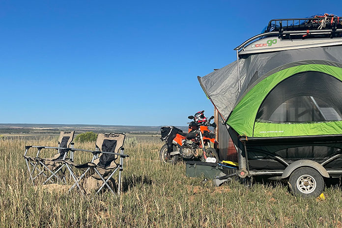
Rain started again in the evening, and while it had stopped by morning, my tent and tarp were still wet when I packed them up. My final campground of the trip was at Beech Fork State Park, but I had a few stops I wanted to make along the way. Plus, I wanted to ride State Route 39, which was the other reason I had come to this area – a man on a previous trip had given me a coin and pin commemorating this road (see “Along the Midland Trail: A West Virginia Motorcycle Trip”), but I didn’t get a chance to ride it at that time.
For this trip, I had taken a laissez‑faire approach to planning: Pick a few destinations and the routes in between them and see what happens. This was different from my usual meticulous planning, and I ended up missing out on a few opportunities. I assumed that Route 39 would be a curvy road through towns and countryside like Route 60, but it runs through a national forest, isn’t particularly curvy, and has plenty of tourist stops along the way. Trying to beat the oncoming rain and knowing I had limited time to get to my next campsite, I didn’t stop at any of them, which I regret.
I continued south on U.S. Route 19 back to Route 60 when I got stuck in yet another rainstorm, this time on a four‑lane highway. Given the recent relinquishing of my harsh, self‑imposed rules about pressing on in misery, it was an easy decision to stop in Fayetteville at Water Stone Outdoors – a befitting name for my situation.
The store had a cafe inside, and my weather app said the rain would pass in about an hour, so I settled in with a warm and comforting chai latte while perusing their clothing options, again dripping puddles all over the floor.
A local woman approached me and said they didn’t see many motorcycle travelers around there. She asked if I was alone. When I replied that I was, she gave me a fist bump and said, “Wow, so you’re a badass!”
This woman didn’t know that I had stayed in a hotel to escape the rain nor did she care that I had ducked into a cafe to do it again. She just knew I was out here traveling on a bike, and that was enough in her book. It should be enough in my book as well.
As the sun peeked out of the clouds and the rain stopped, I headed to Beech Fork State Park. On previous trips, I had gone to one homebase campground and then branched out on day trips from there. This time, I had planned an actual tour where I stopped at a new place each night and packed up camp in the morning.
I found this to be exhausting, even with my hotel stay in the middle of it. After packing up my kit at Watoga, I had thought briefly about pushing through and riding the eight hours home just so I wouldn’t have to set up camp again. But I reminded myself that camping was half the reason I was on the trip and I would enjoy it once I was there, feeling the weight of my beloved camp equipment in my hands as I unpacked it. And for once, the weather looked clear for the next two days.
Related: Motorcycle Camping Tips…From the Backyard?
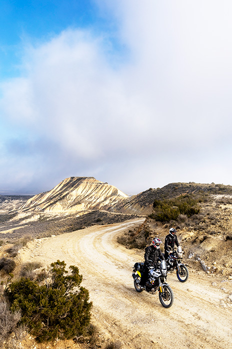
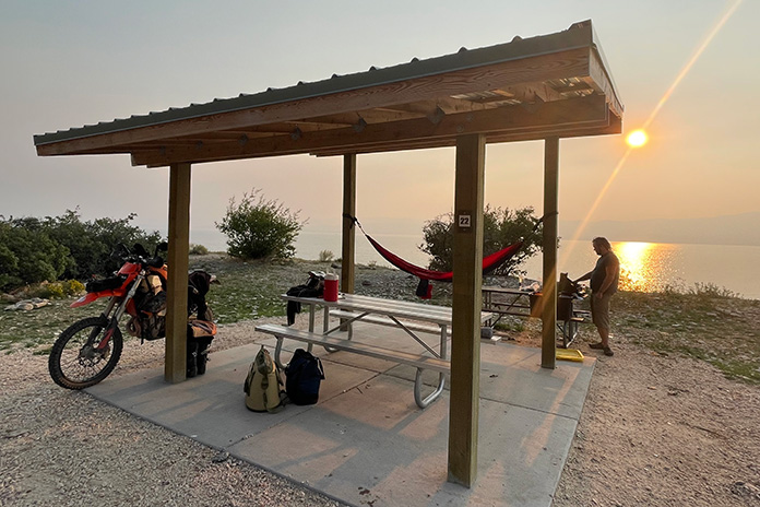
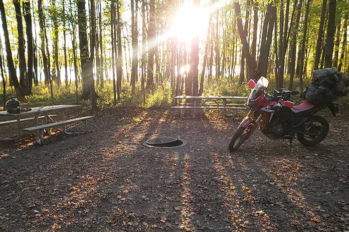
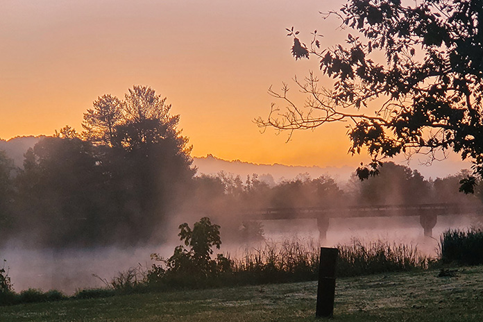
I arrived at Beech Fork State Park and found a perfect campsite with a stunning view of a lake. I set up camp and enjoyed the quiet solitude until I heard the familiar sound of a motorcycle exhaust. A large BMW adventure bike loaded up with gear and piloted by a man in matching textile apparel pulled around the circle in front of my campsite.
“I heard there was another motorcyclist in the campground,” he said through his helmet. “I thought I might stop by and say hello.”
We chatted briefly about where we were from and where we were headed. “You’re the only other traveling motorcyclist I’ve talked to on one of my trips,” he told me, and I indicated that he was the same. I was reminded of my recent realizations thanks to the camp host at Watoga and the woman at Water Stone Outdoors. They had both taught me that being out on a bike was enough, regardless of whether you’re traveling across the world or just across a state, roughing it every night in the backcountry or sleeping in a campground with amenities, braving the elements or enjoying warm and safe shelter indoors.
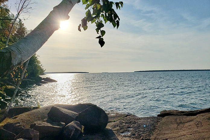
Looking at this fellow adventurer, knowing we were both rare individuals among travelers, sealed the deal that my expectations of myself as a moto camper were unfair and unrealistic. I shrugged off the unnecessary emotional weight right there on the shore of Beech Fork Lake.
If you need permission to ditch staunch expectations about what type of person you should be to travel on your motorcycle, take it from me: You are enough, just as you are.
See all of Rider‘s touring stories here.
West Virginia Motorcycle Ride Resources
- Midland Trail National Scenic Byway
- Kanawha State Forest
- Adelphia Sports Bar & Grille (Charleston)
- Lewisburg Downtown Business Association
- Hill & Holler Pizza (Lewisburg)
- Watoga State Park
- Seneca Skyway (West Virginia Department of Tourism)
- Beartown State Park
- Elkins-Randolph County Tourism
- Beech Fork State Park
The post Lessons Learned on a Wandering West Virginia Motorcycle Ride appeared first on Rider Magazine.
Source: RiderMagazine.com