

If you’re looking for a golden adventure riding opportunity, the Black Hills BDR-X marks the spot. Backcountry Discovery Routes are adventure/dual‑sport routes that typically cover entire states and take about a week to complete, with GPS tracks and helpful info provided for free by the nonprofit BDR organization. In addition to its main routes, BDR has mapped out several shorter BDR-X loop routes that can be completed in a few days.

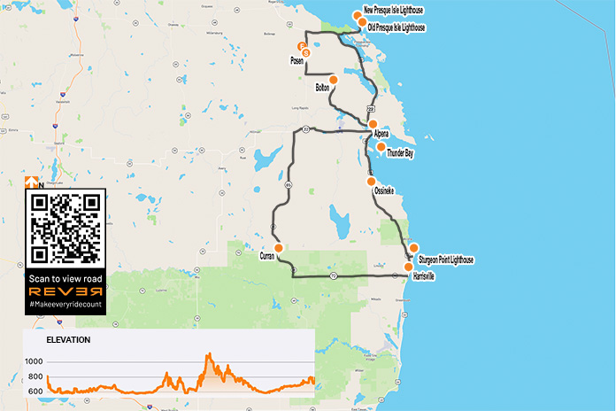
Scan QR code above or click here to view the route on REVER
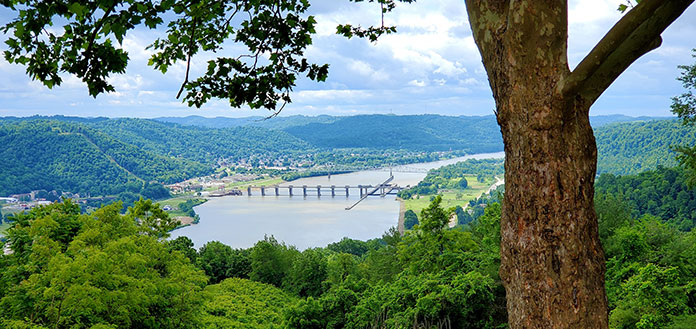
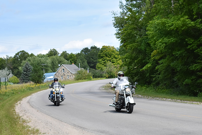
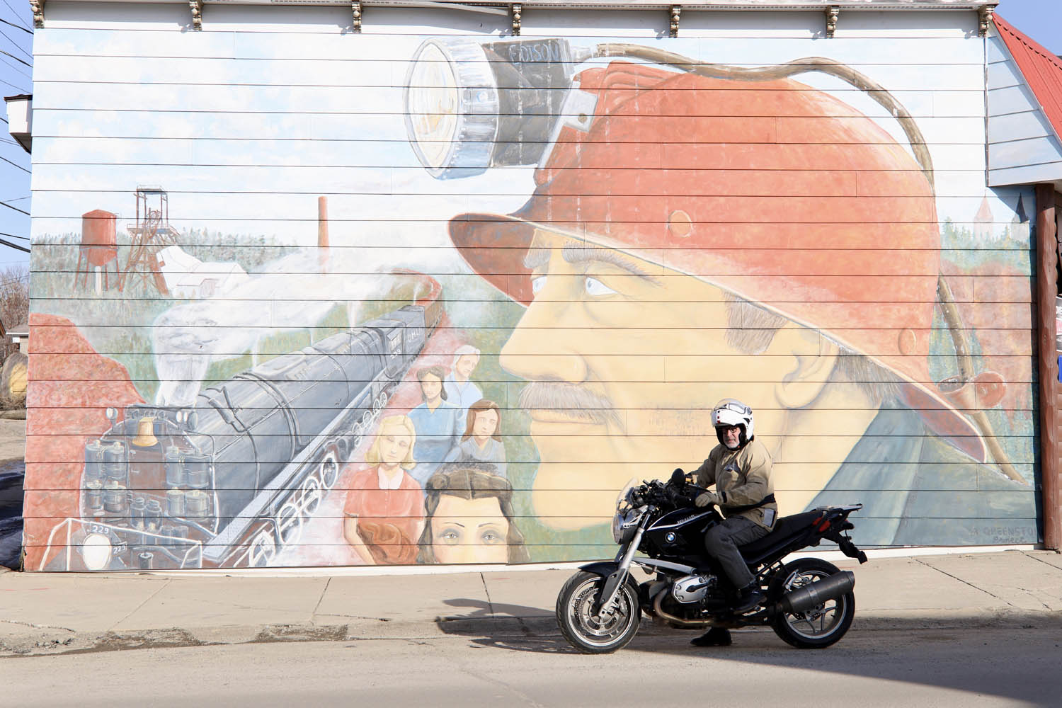
Located in western South Dakota, the Black Hills area is known for its scenic beauty, curvy roads, and historic sites like Mount Rushmore and the Crazy Horse Memorial. When most motorcyclists think of the Black Hills, they think of the Sturgis rally, which brings upwards of 500,000 people to the region every August.
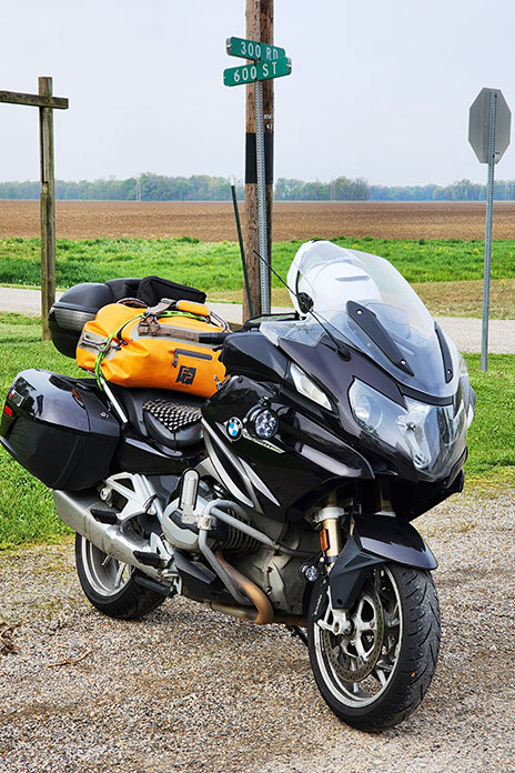
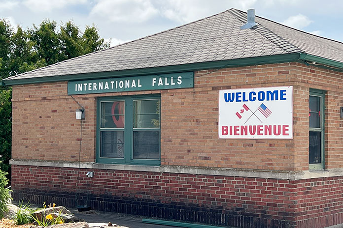
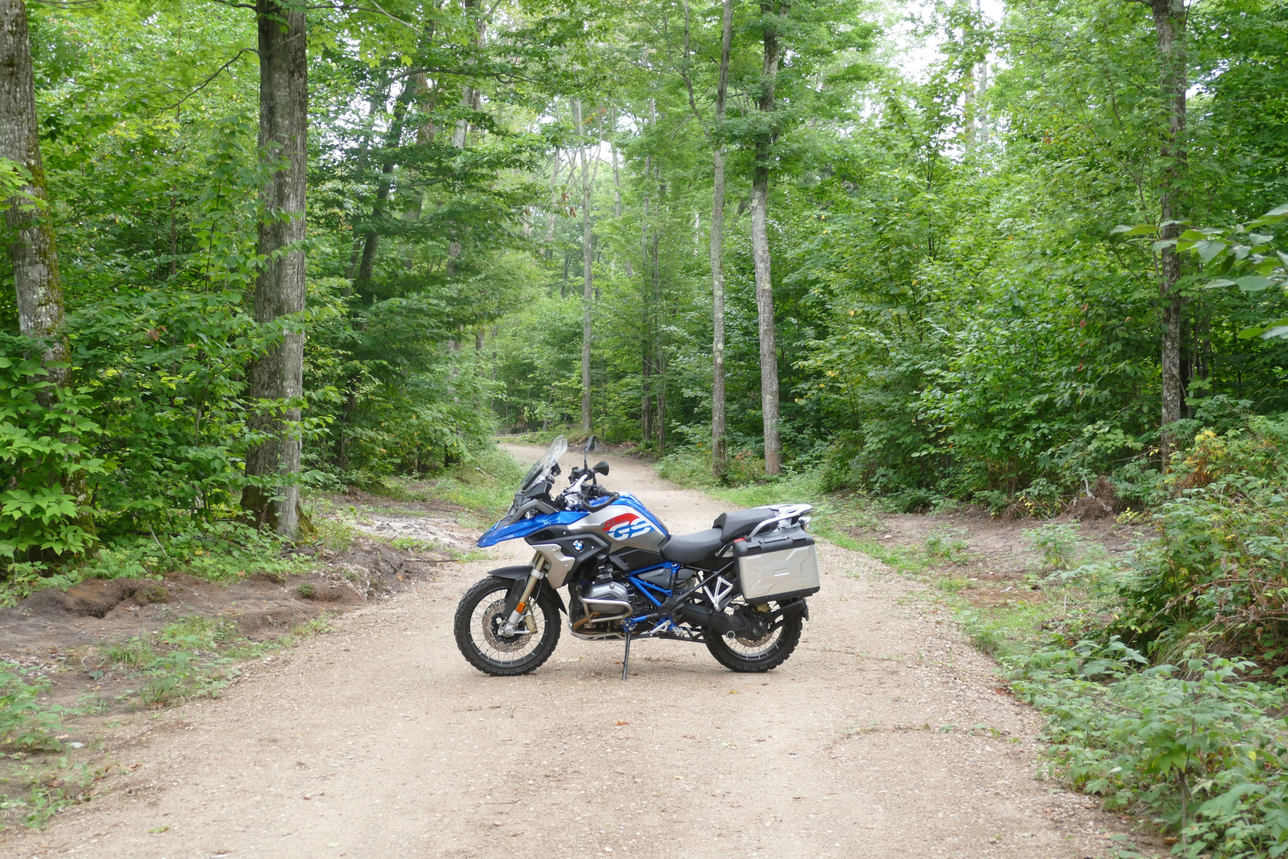
The Black Hills BDR-X is a 355‑mile mostly off‑road loop that starts and ends in Keystone, just a few miles east of Mount Rushmore, and is divided into three sections. Backcountry Discovery Routes recommends riding the Black Hills BDR-X counterclockwise, but since it’s a loop, you can start and finish anywhere along the route and run it in either direction.

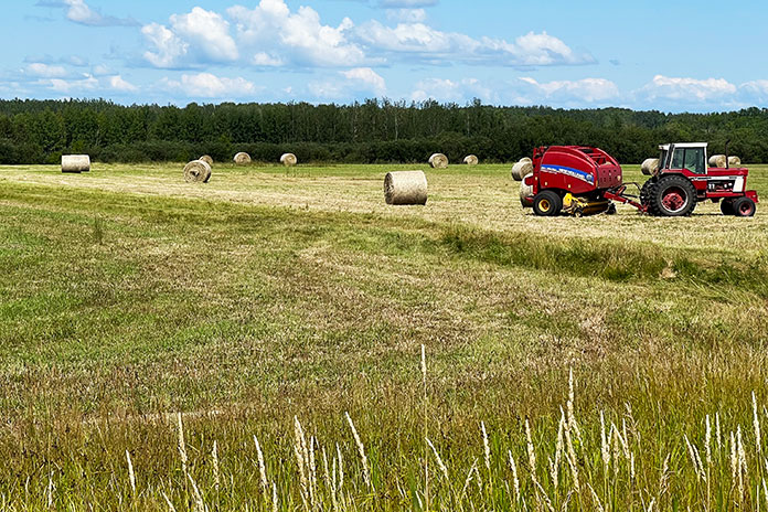
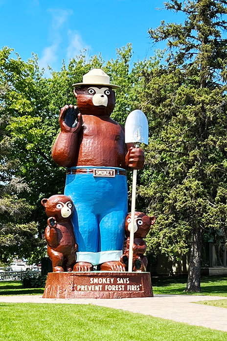
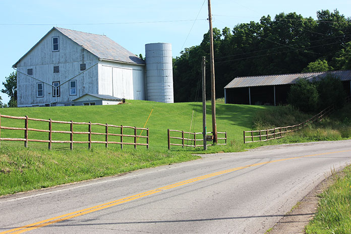
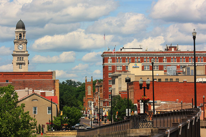
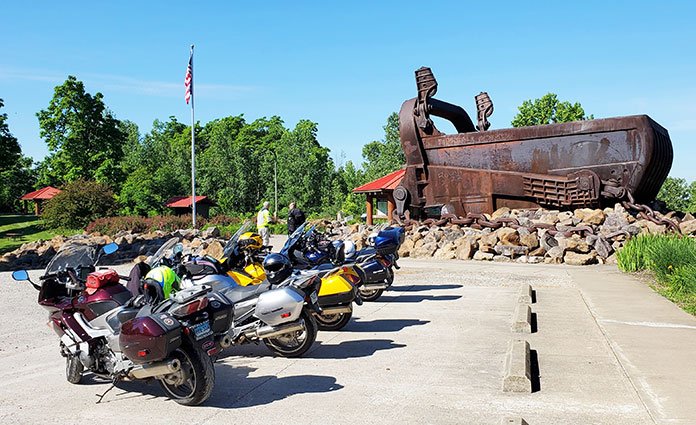
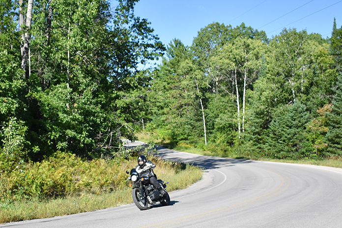
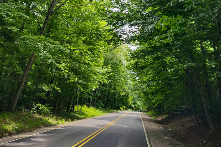
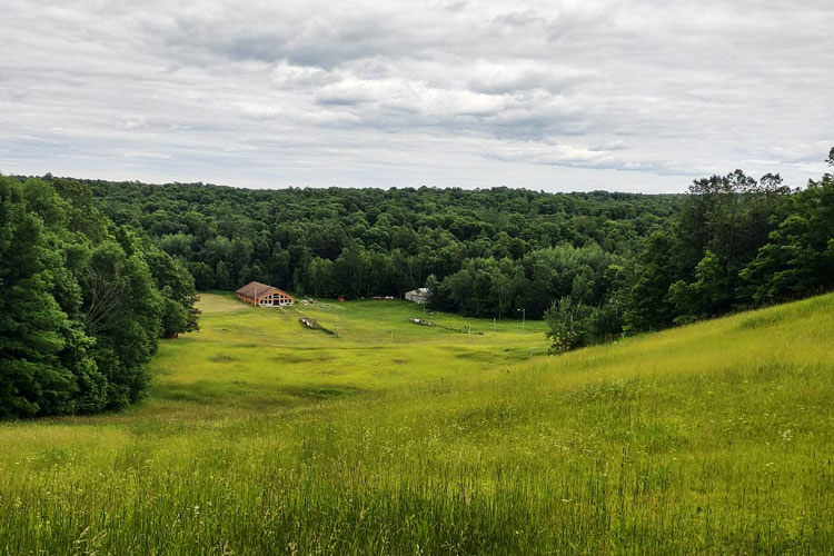
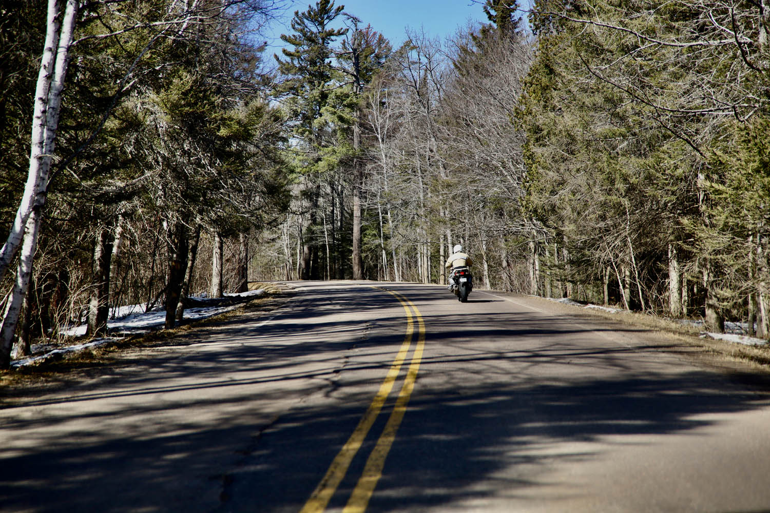
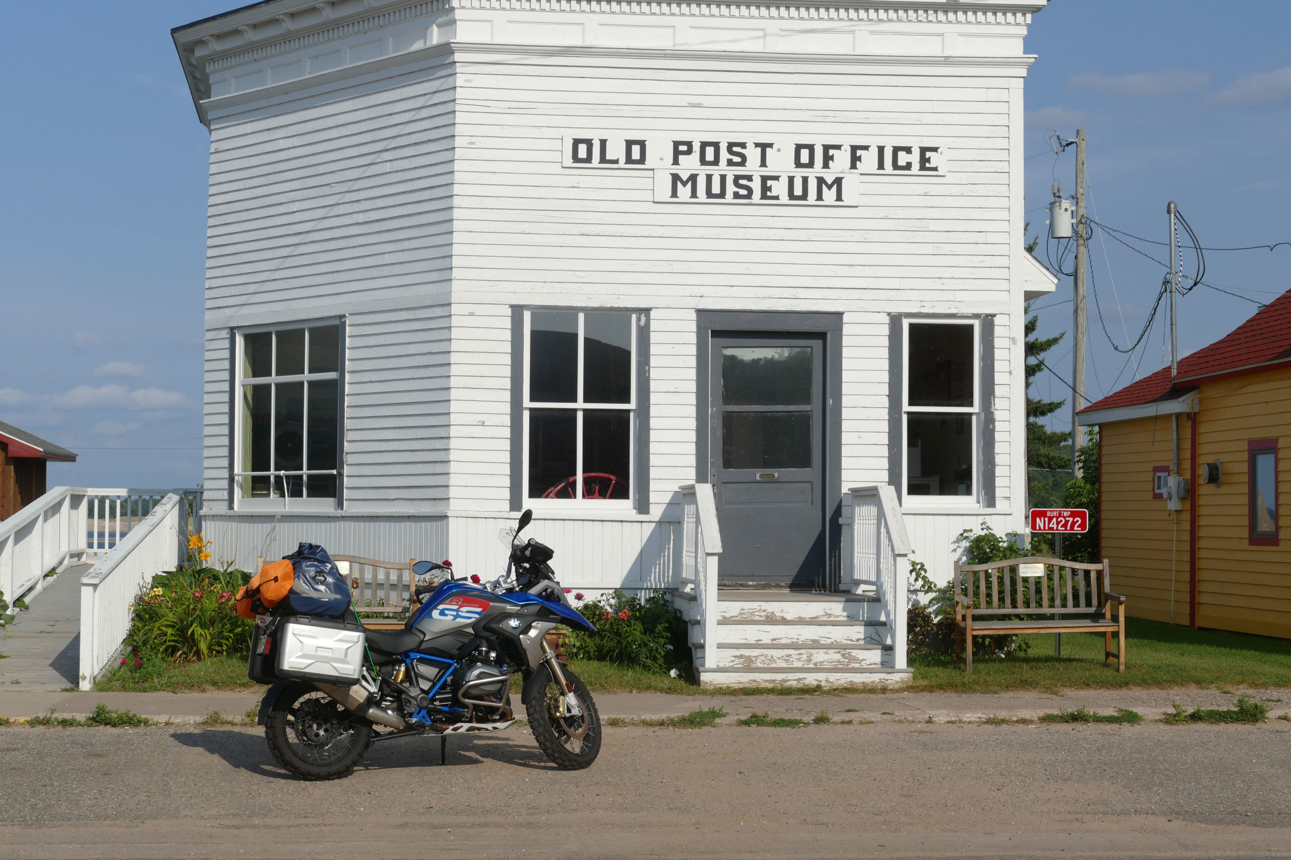
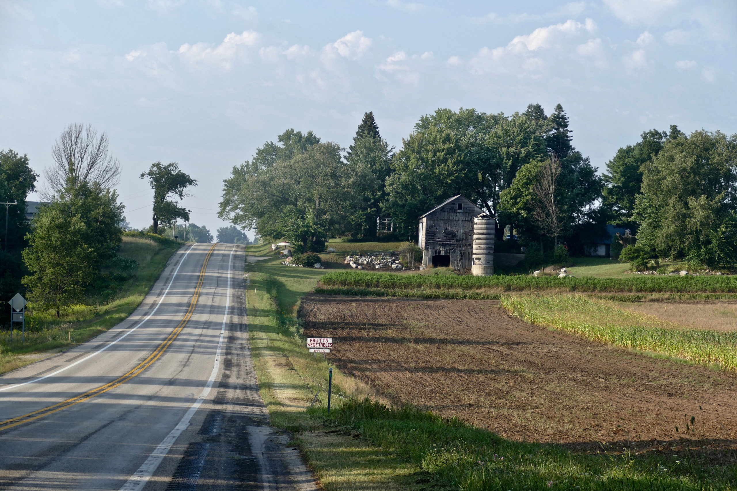
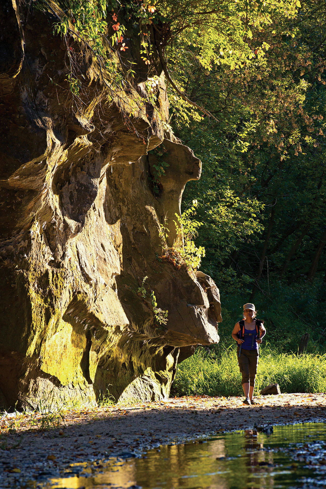
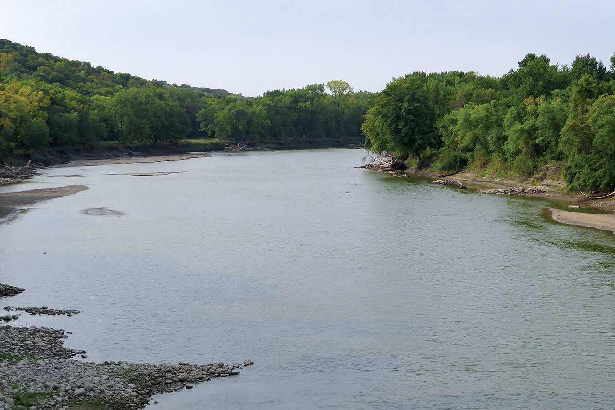
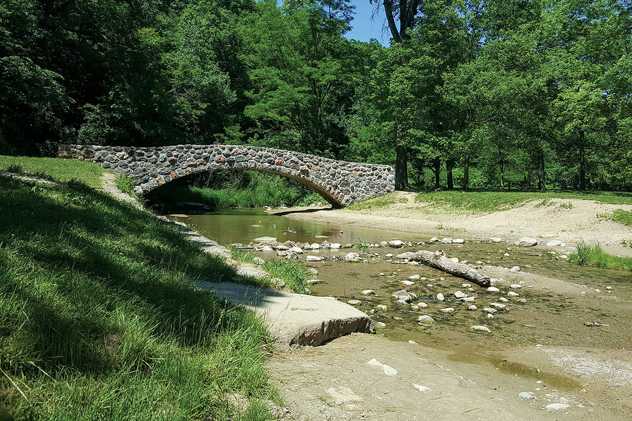
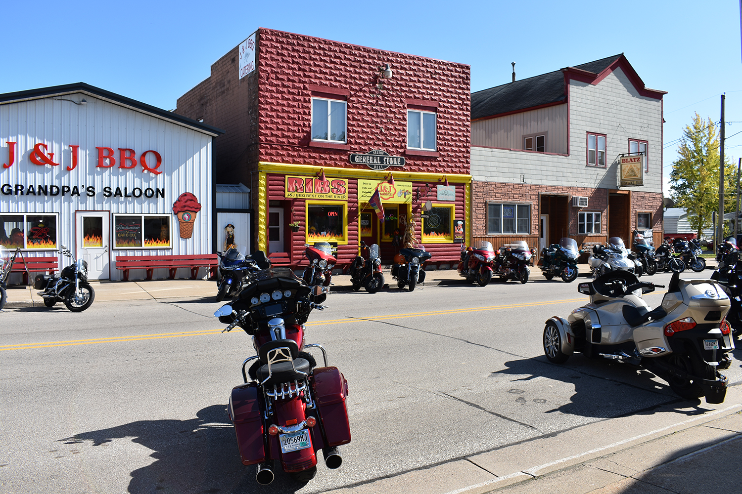
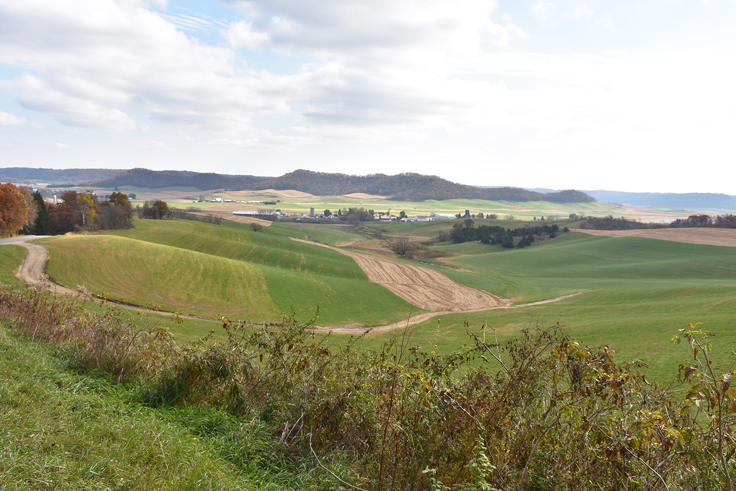
What makes the Black Hills BDR-X such a perfect adventure route is its variety. The landscape includes rugged mountains, dense forests, and wide‑open prairies. The route passes through historic towns like Deadwood, Mystic, and Hill City, as well as public lands such as Wind Cave National Park and Custer State Park.

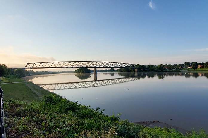
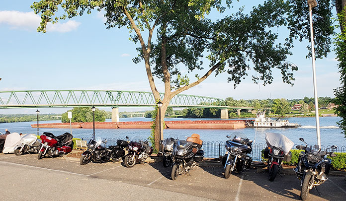
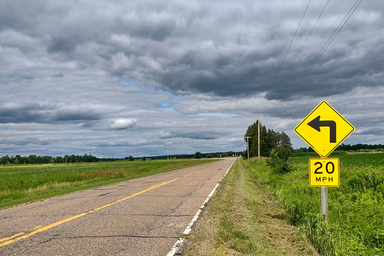
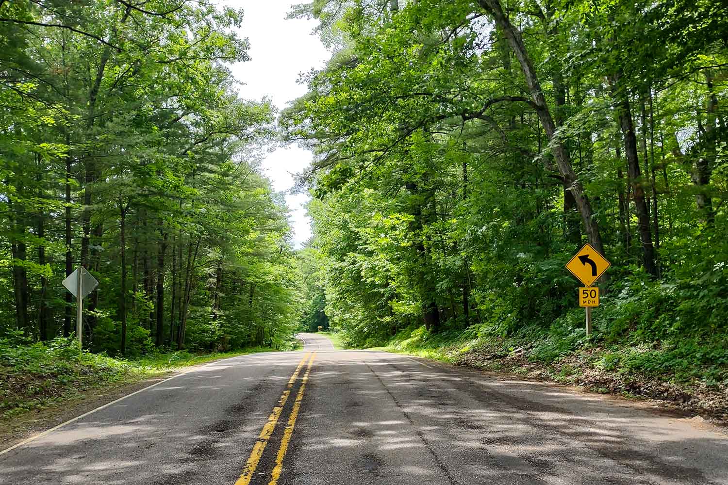
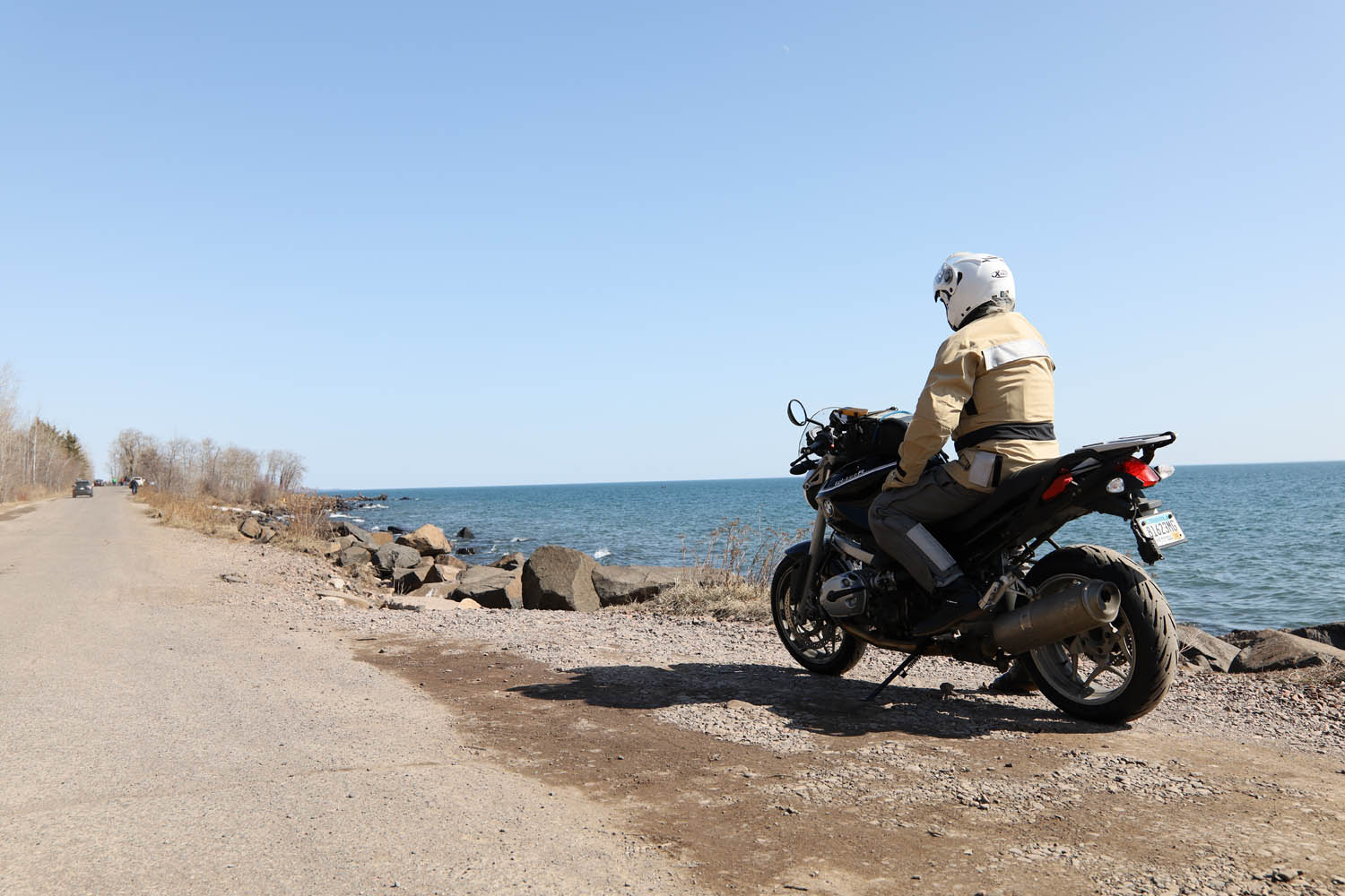
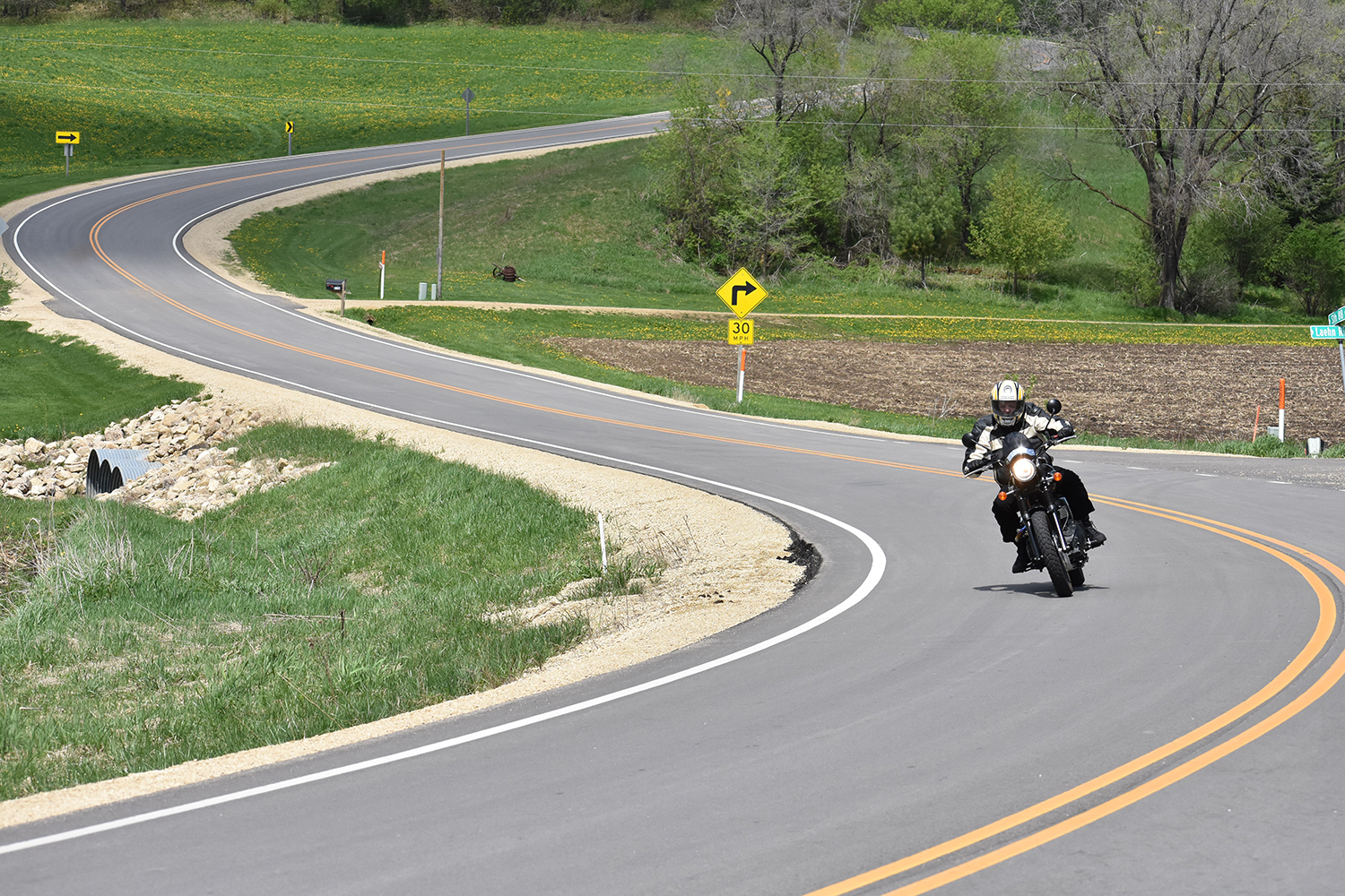
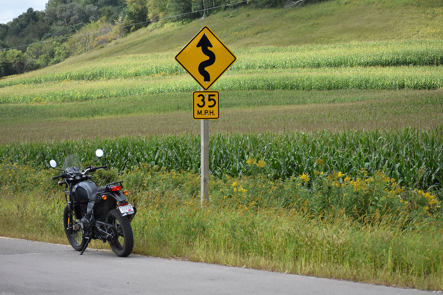
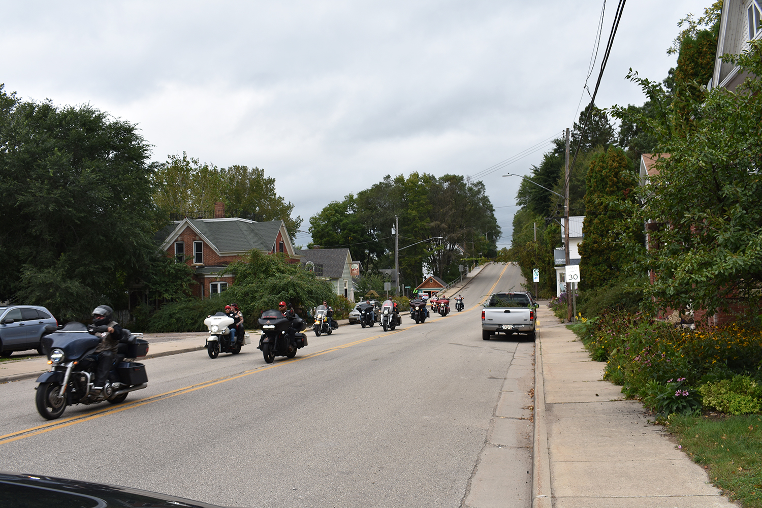
There are great campgrounds or more luxurious lodging available. You’re never far from civilization, so you can get away from it all yet still have access to gas stations, stores, restaurants, and hotels. The BDR-X route includes flowing gravel and dirt roads, challenging two‑track, and some of the area’s best paved roads, including Spearfish Canyon Road, Needles Highway, and Iron Mountain Road.

Setting the Hook
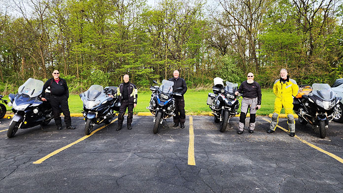
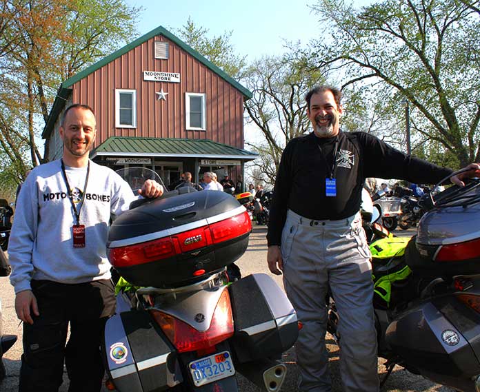
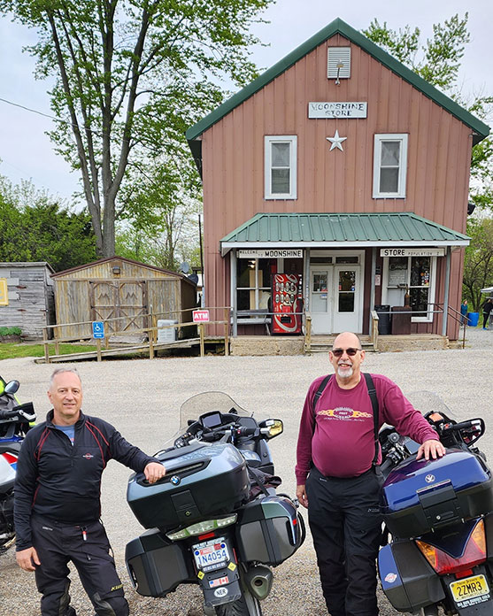
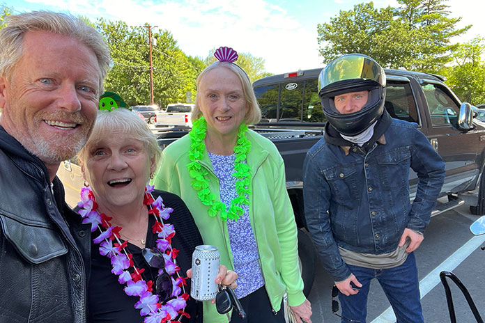
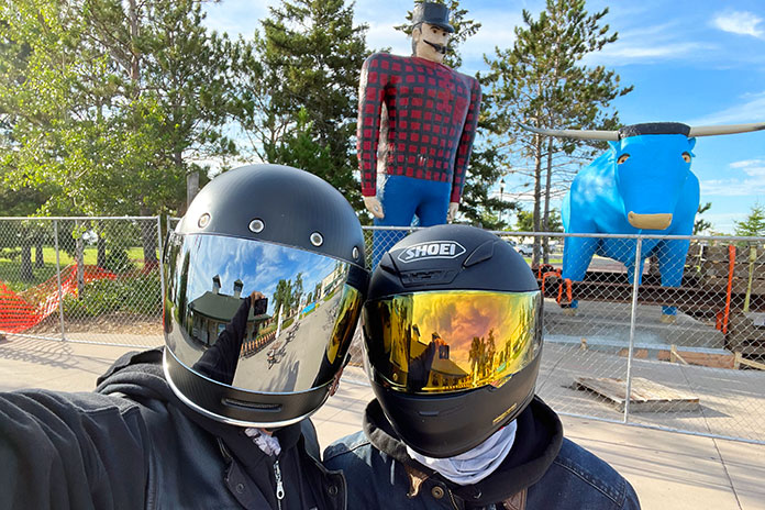
Last July, I joined three of my CFMOTO USA colleagues – Reid Strait, Daniel Dégallier, and Bill Baker – at Get On ADV Fest, a four‑day adventure‑bike rally in the Black Hills where we introduced the Ibex 800 T adventure bike. There was plenty of off‑road riding involved, and REVER provided excellent tracks for the event.
Related: 2023 CFMOTO Ibex 800 T | Road Test Review

The riding was so good, we were inspired to return in September and be among the first to ride the new Black Hills BDR-X. The stars aligned when we learned that Rally for Rangers, a nonprofit organization that raises funds to support park rangers, would be hosting an event in the Black Hills at the same time (see sidebar below). CFMOTO USA provided Ibex 800 Ts for the guides to use during the event, along with a Papio minibike for cruising around the campground.

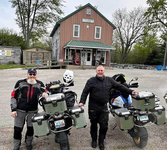
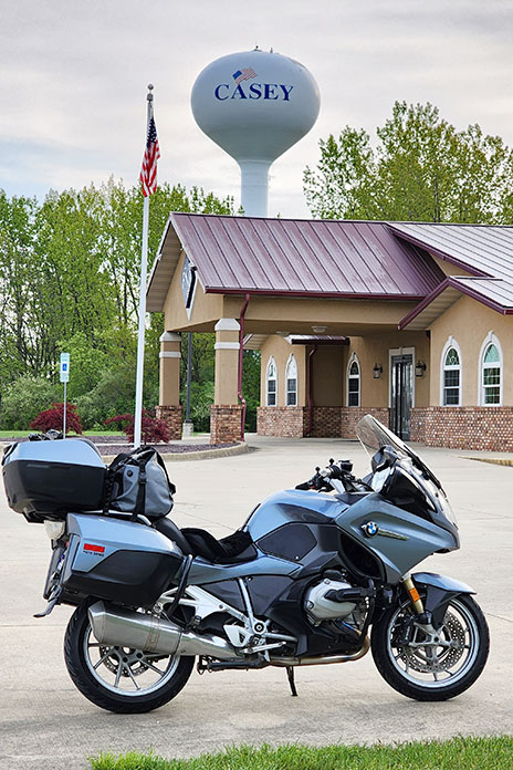
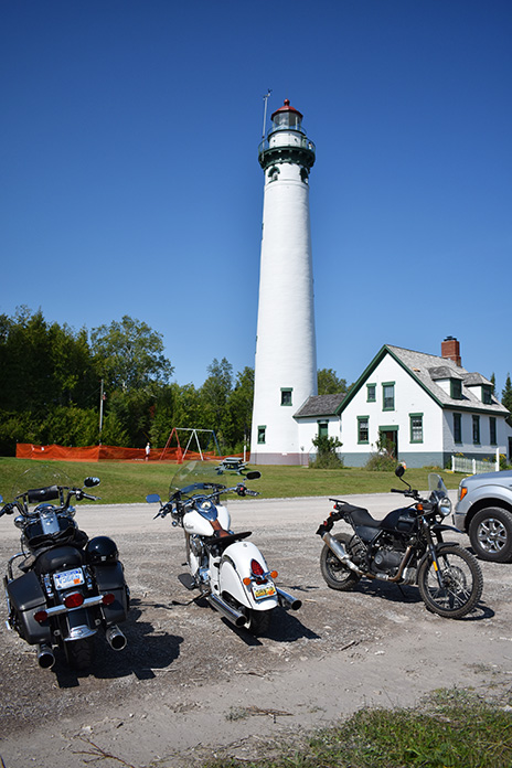
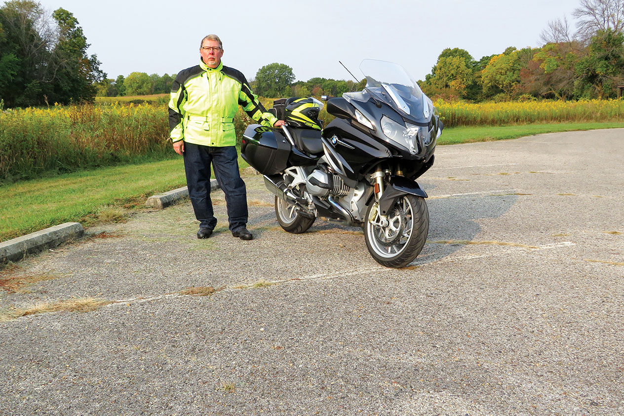
After we delivered the bikes to the event, we spent the next few days riding the Black Hills BDR-X to do some team bonding. Reid rode an Ibex 800 T, but the rest of us rode our personal bikes: Bill on a KTM 690 Enduro R, Daniel on a Royal Enfield Himalayan, and me on a Kawasaki KLX 300.

Black Hills BDR-X: 4 Riders, 4 Bikes, 4 Days
We may have different tastes in bikes, but we all agree on one thing: The Black Hills BDR-X is fantastic. It’s 355 miles of adventure motorcycling bliss. In terms of difficulty, I’d rate it 4 or 5 on a scale of 1‑10. (I’ve also ridden the Mid Atlantic BDR, which I’d rate an easy 2 or 3.) Every day of the BDR-X was filled with moments of euphoria, which crystallized into memories that we’ll share around the campfire for years to come.
Related: Backcountry Discovery Routes Announces Economic Impact of BDR Routes

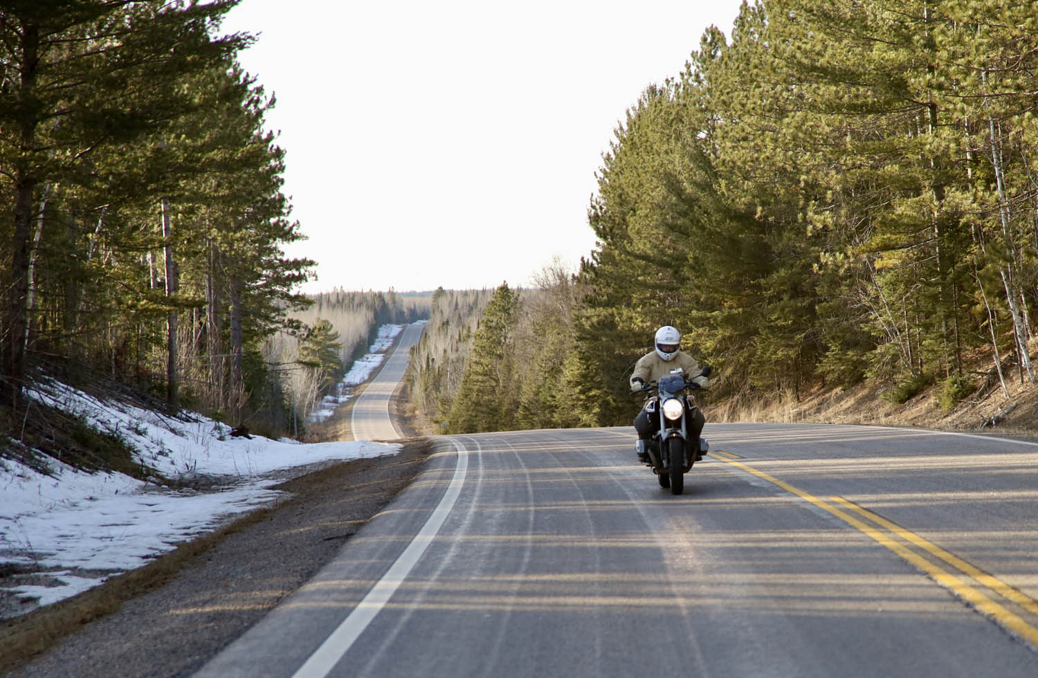
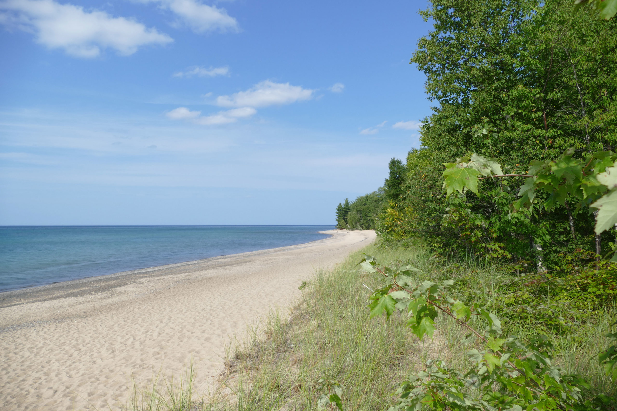
During one part of the ride, the sun overhead was radiant, casting a warm, autumn glow. The steady, gentle crunch of gravel under my tires never got old, nor did the scenery. Towering cliffs with rough textures contrasted with the vivid foliage below. The curves and bends unfurled before me, each one as breathtaking as the last. It was a sensory feast, as if Mother Nature took out her paintbrush, mixed up an impossibly diverse palette of rich colors, and painted a masterpiece. At higher elevations, the hills were ablaze in scarlet, amber, and gold, while it was a verdant wonderland down below. I was tempted to ride faster, but I slowed down, smelled the pines, and savored the experience.

Black Hills Gold
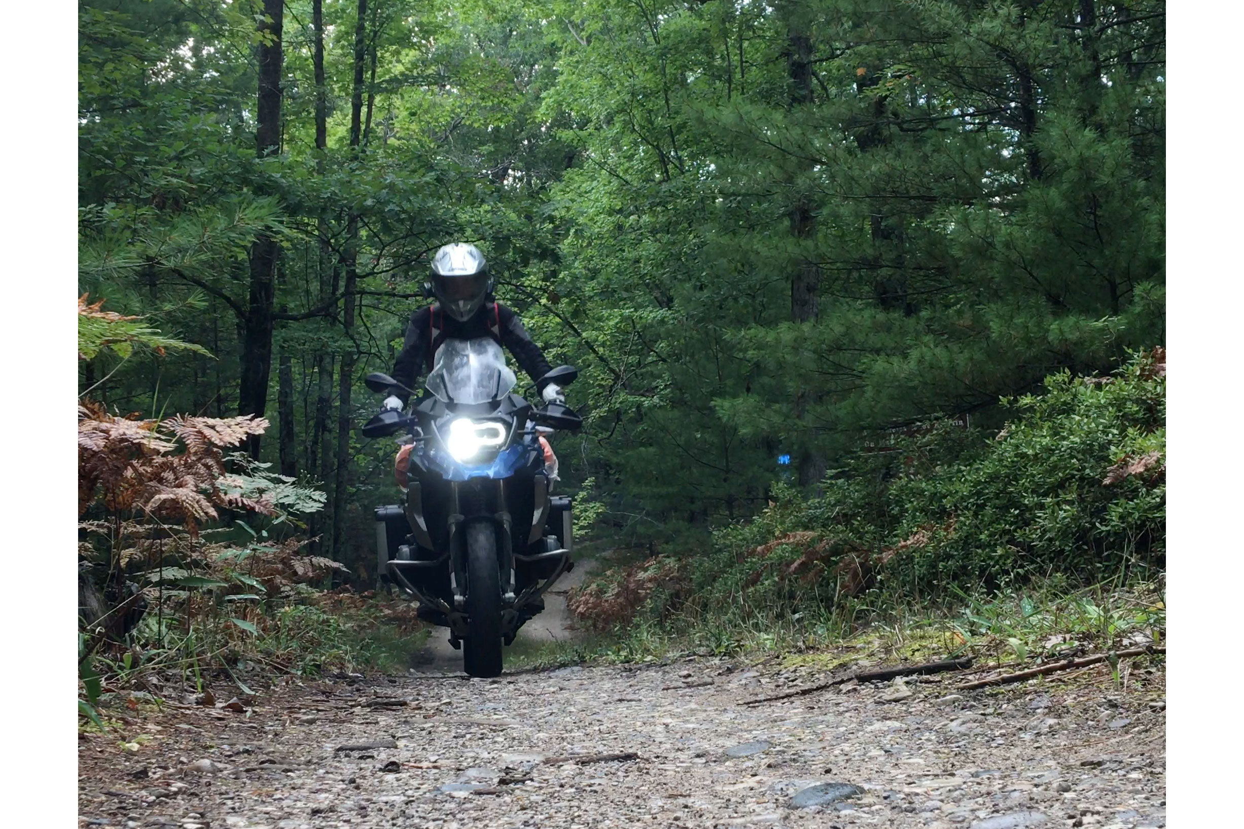
If you love off‑road adventure riding, you’ll love the Black Hills BDR-X, which was like discovering a vein of gold. There’s gravel, rocky two‑track, mud, and epic pavement. There’s majestic scenery, wildlife, and history. You can’t see and do it all in one trip, so like the four of us, you’ll want to come back. It’s fun but by no means a stroll in the park, and it’s the difficult stuff that sticks with you for a lifetime.

On Day 3, it was raining, and we opted to do the optional hard section over Bear Mountain. The route was rutted, rocky, steep two‑track. The slick mud packed up on our tires, turning them into Teflon‑coated slicks. Bill christened this spur route “Axle Grease Alley.” On the final bit, I chose my line and went for it, twisting the throttle to the stop, desperate for the tires to hook up, every muscle in my body fighting to keep me and the Kawasaki upright. After I made it to the top, Reid gave me a thumbs‑up and said, “Brad, you looked like a flailing Kool‑Aid man. Next time keep your feet on the pegs!”

Happily, we all made it through the toughest sections in one piece. Despite the struggle and the chaos, even with our bikes and bodies caked in mud, we were grinning from ear to ear. Daniel’s quick thinking led us to a car wash in Custer, where we pressure‑washed our bikes and could again recognize which was which. Cost? A few quarters. Memories? Priceless.

Rally for Rangers Sidebar
The mission of Rally for Rangers is “to protect the world’s special places by empowering rangers around the world with new motorcycles and equipment.” It has provided more than 160 motorcycles and equipment for rangers in parks in distant places like Mongolia, Argentina, Nepal, Bhutan, Peru, and Namibia.
The first Rally for Rangers USA event took place last September in South Dakota’s Black Hills National Forest and Pine Ridge Reservation. Fifteen adventure riders raised nearly $40,000 before convening in Custer State Park for a weekend of camping, riding, visiting tribal park rangers, and donating equipment and funds to protect parks and forests.
Traditional Rally for Rangers events are two‑week international journeys, but the USA rallies are held over a long weekend. The Black Hills event donated night vision optics for tribal rangers of the Oglala Sioux Parks to conduct nighttime anti‑poaching patrols. A donation was also made to the Forest Service motorized trails program to support motorcycle‑only trails in the Black Hills National Forest.

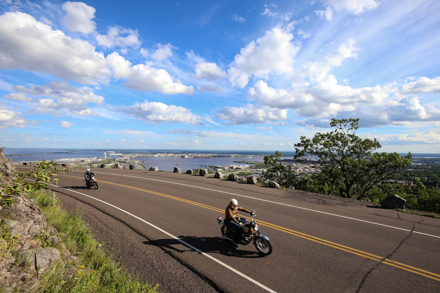
Riders in this inaugural event hailed from all over the U.S., with some trailering their bikes and others renting from Rogue Moto or using demo bikes provided by CFMOTO. The weekend included off‑road training by Heavy Enduro as well as on- and off‑road riding on Needles Highway, portions of the Black Hills BDR‑X, and otherwise inaccessible trails on the Pine Ridge Reservation hosted by the Oglala Sioux rangers.
The Black Hills Rally for Rangers event takes place again in September 2024 to support Oglala Sioux and Northern Cheyenne tribal rangers. For more information, visit the Rally For Rangers website or listen to our interview with Rally for Rangers co‑founder Tom Medema on the Rider Magazine Insider Podcast.

Black Hills BDR-X Resources:
The post Riding South Dakota’s Black Hills BDR-X appeared first on Rider Magazine.
Source: RiderMagazine.com


