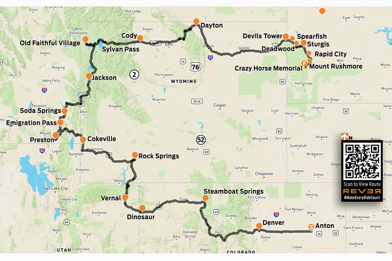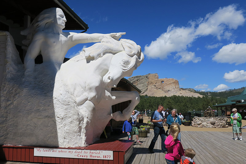
A few years ago, Rider published my article about riding Vermont Route 100 from south to north, ending at the Haskell Free Library and Opera House, which straddles the U.S./Canada border. Someone wrote a letter to the editor asking how I got back. U.S. Route 5 runs along the east side of Vermont, and it happens to be another one of my favorite rides. It has all the elements of a great motorcycle road: beautiful scenery, fine curves, light traffic, and nice places to stop along the way. For this ride, I am again starting at the Massachusetts border and heading north, but it can also be run in reverse.
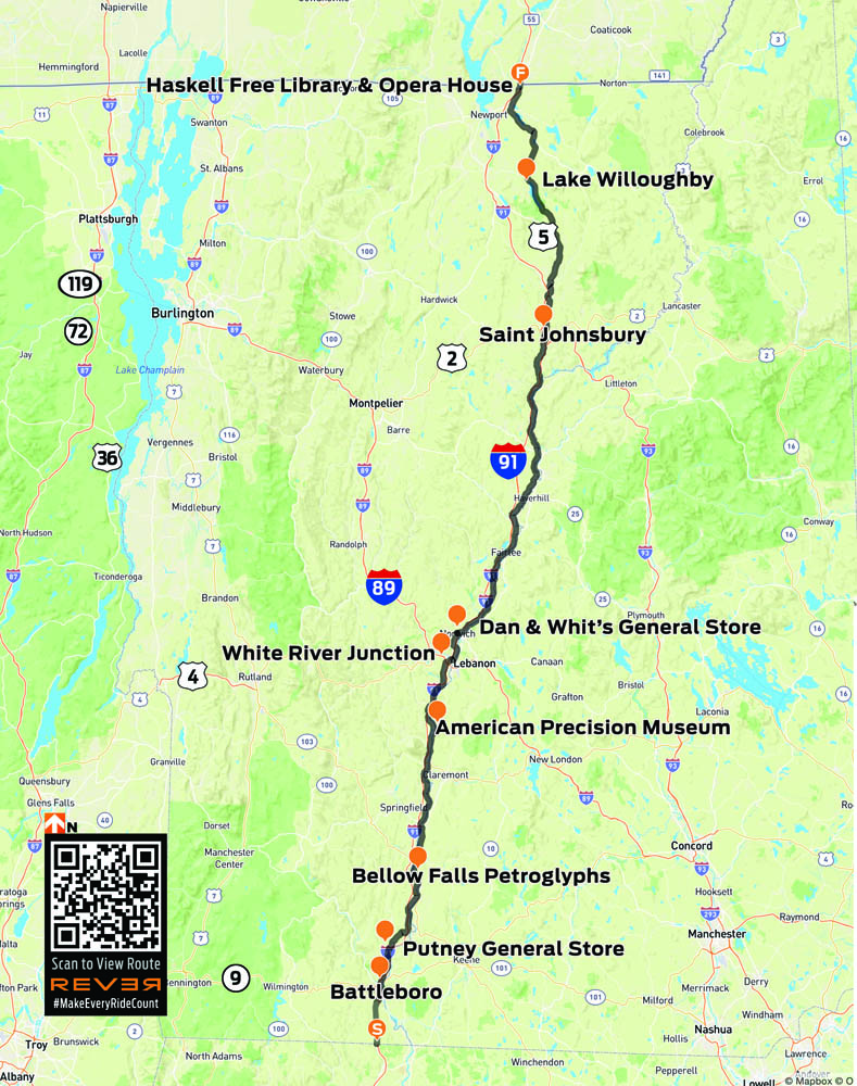
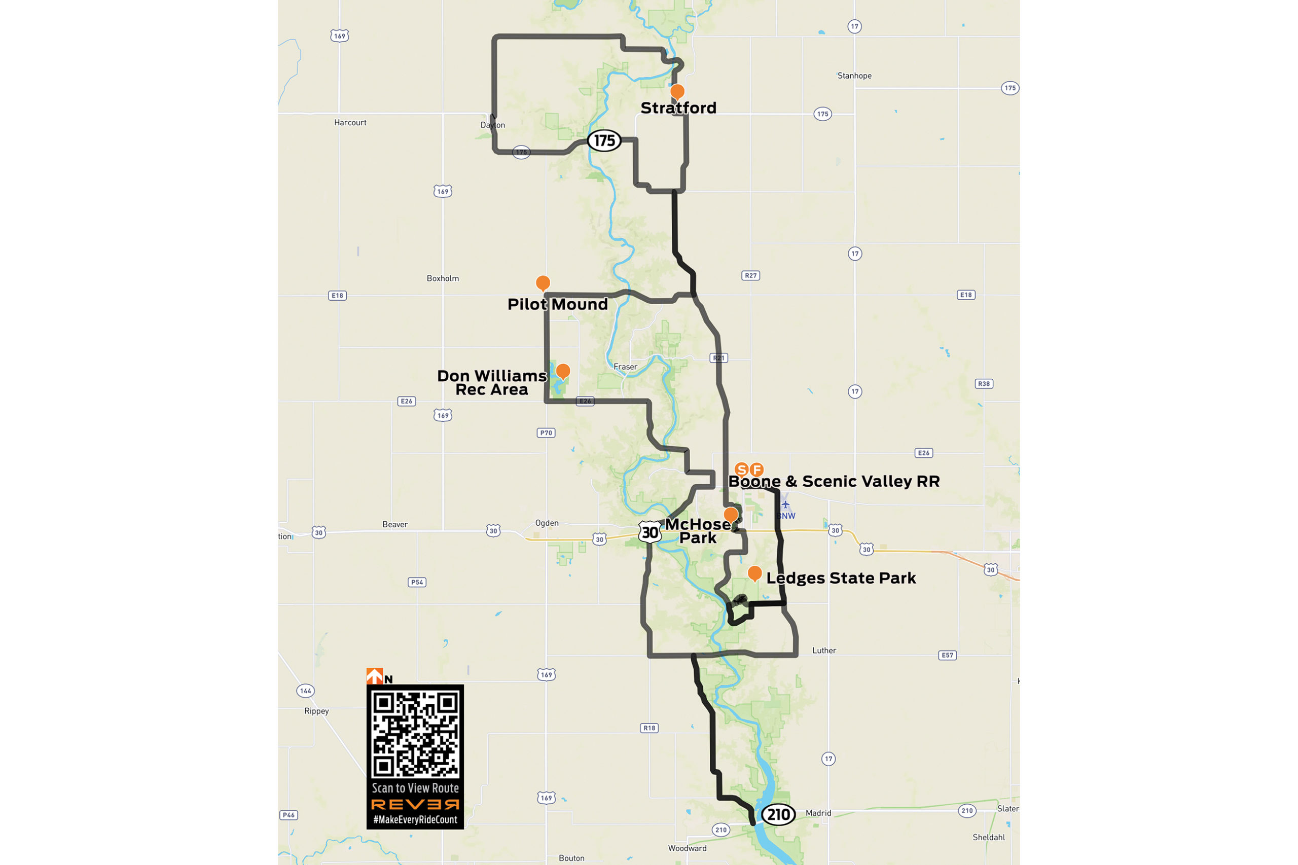
Scan QR code above to view route on REVER, or click here
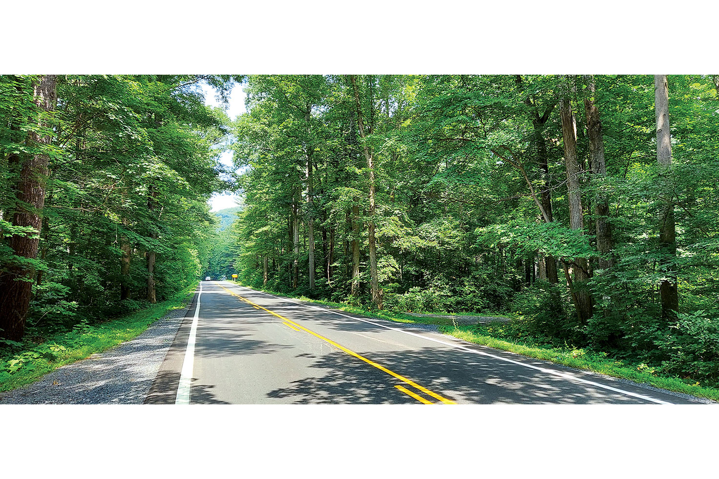
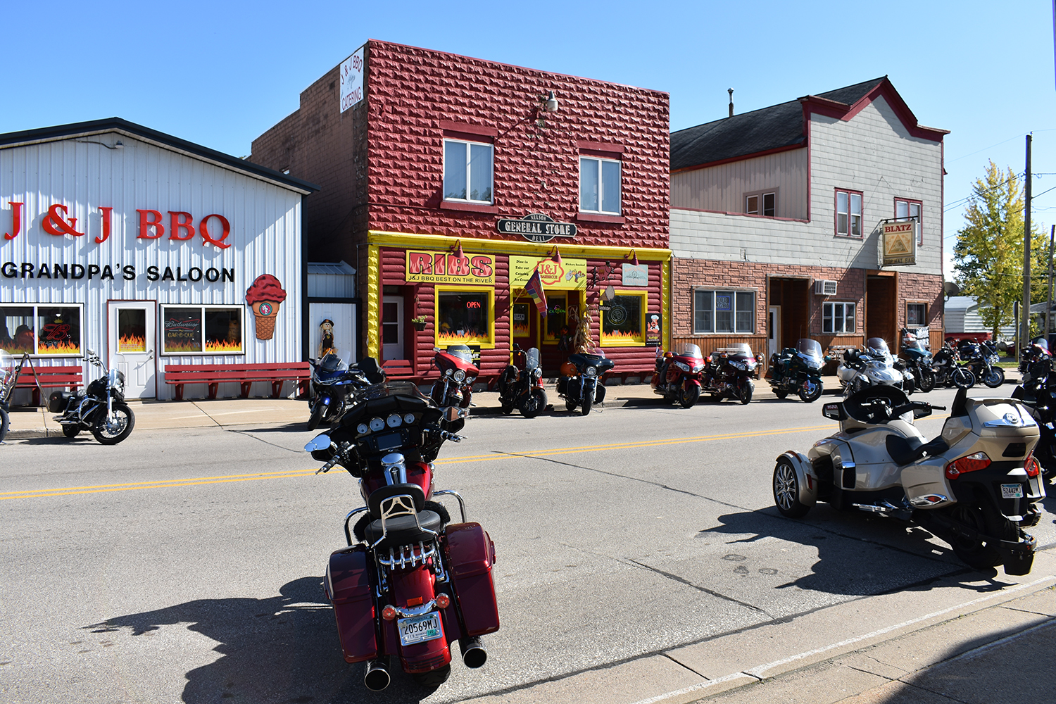
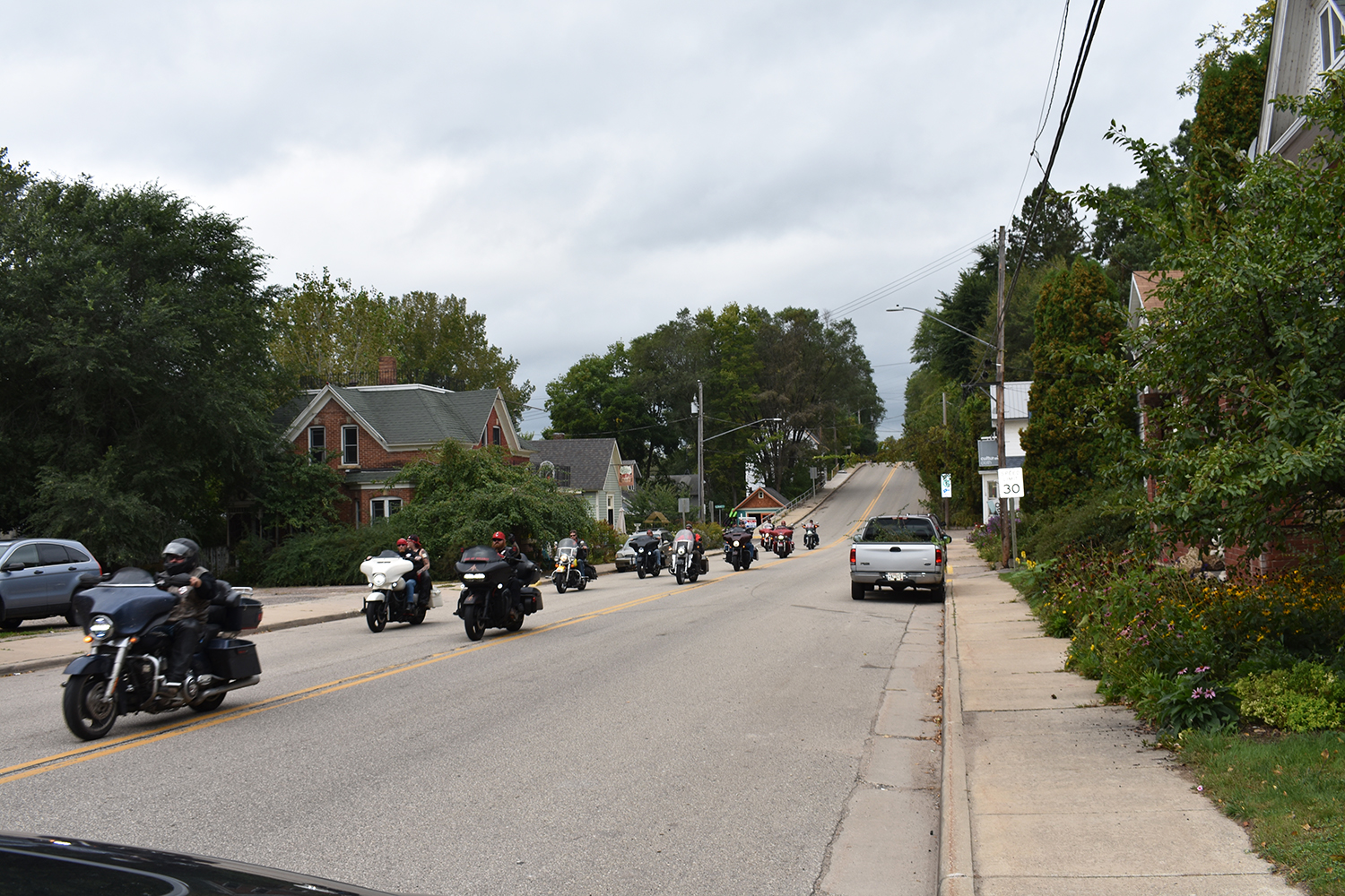
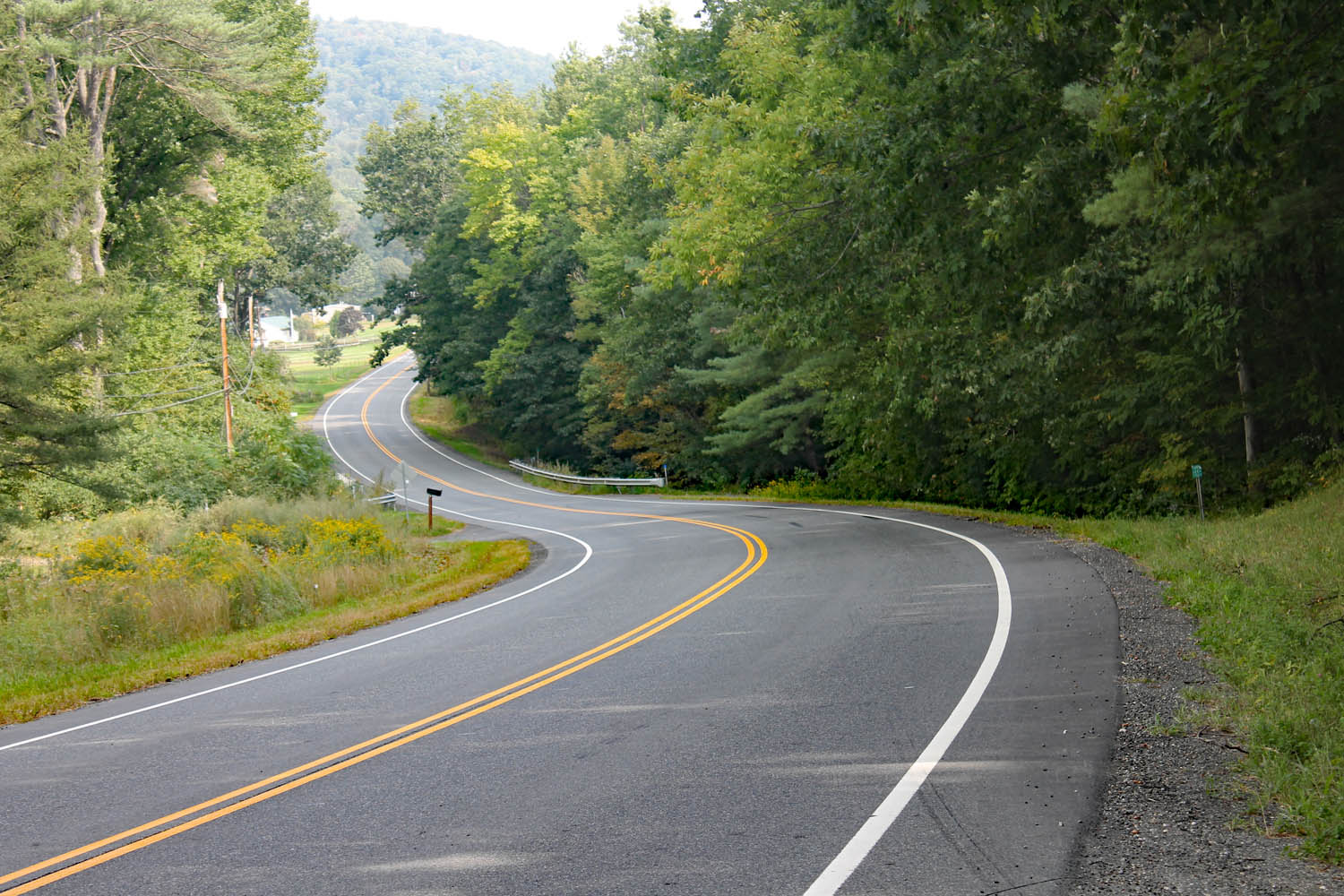
I cross from Massachusetts into Vermont just south of Guilford, and the road almost immediately plunges into the woods, curling back and forth around the trees, a preview of what’s to come. First, I pass through Brattleboro. With 12,000 residents, it’s the largest town I’ll encounter today. Downtown consists of about three blocks of century-old brick buildings. It’s a little congested, but as soon as I clear the roundabout at the junction with State Route 9, everything eases up and I’m into rural Vermont in search of coffee.
Check out more of Rider‘s Favorite Rides
Putney General Store bills itself as Vermont’s oldest general store. It has creaky floors, good food, and – most importantly – good coffee. Properly caffeinated, I’m on my way, and U.S. 5 reveals its true character: rising, falling, and curving through the landscape. I lose myself in its rhythm.

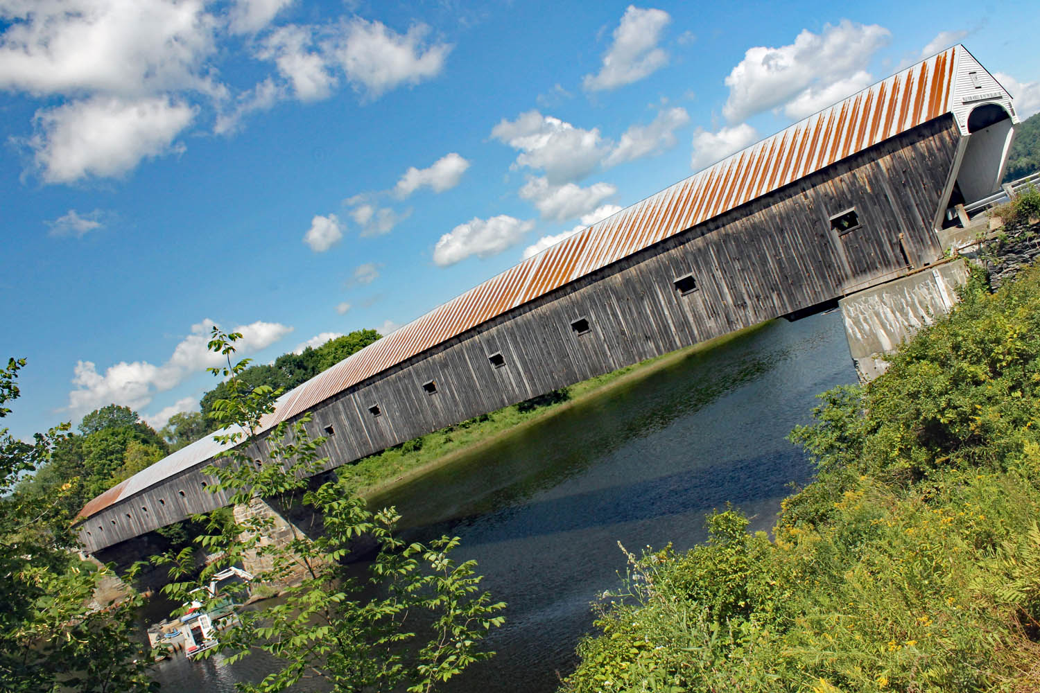
In Bellows Falls, the falls don’t bellow anymore. The river was dammed in 1802 to aid with upstream navigation. Down near the river, a mysterious row of faces is carved into the rocks. The petroglyphs are believed to have been carved by the Abenaki hundreds of years ago. Curiously, a couple of the faces appear to have antennae. Evidence of an extraterrestrial visit? I ponder the question as I head out of town.
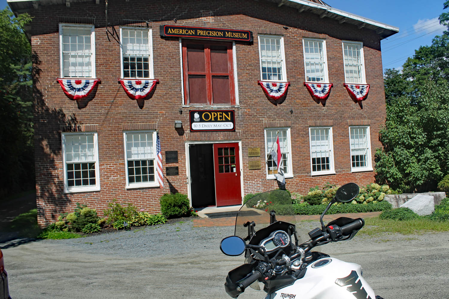
U.S. 5 resumes its swooping, twisting, and turning as it tunnels through the trees. Nothing is too tight or unexpected, just a wonderful ride, and I drink it all in. There is a zig and a zag in Springfield before the enjoyment continues to the American Precision Museum in Windsor. It’s housed in the Robbins and Lawrence Armory, where they developed the concept of interchangeable parts in the 1840s. One display in the museum is a belt-driven machine that turns gunstocks. As the blank for the stock spins, the cutters gracefully move in and out. The accompanying video is mesmerizing. In addition to many machine tools, they also have Bridgeport milling machine serial number 001 – if you’re a gearhead, you’ll understand its significance.
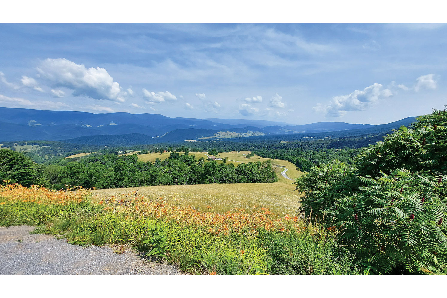
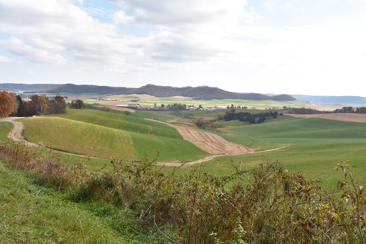
Past Windsor, the road resumes its rhythm as it carves up around a golf course. All along the way, I pass small farms with their quintessential red barns. Some have stands selling fresh veggies, and I pick up some tomatoes and sweet corn.
White River Junction, where the White River joins the Connecticut, has long been a transportation hub. The arrival of the railroad in the 19th century cemented its status. Today, it’s at the junction of Interstates 89 and 91 as well as U.S. Routes 4 and 5. All the amenities are near the highway interchange, and it’s easy to miss downtown, but with several restaurants to choose from, it’s a great spot for lunch.

A sign in the window at Dan & Whit’s General Store in Norwich declares, “If we don’t have it, you don’t need it!” Whether you are looking for an alarm clock or beer pong supplies, they have it. The paint department? It’s in a room behind the deli. Keep going and you’ll find a huge hardware section. The variety of stuff crammed into the space is remarkable, and it’s easy to get lost among the hams and hammers and hammocks.
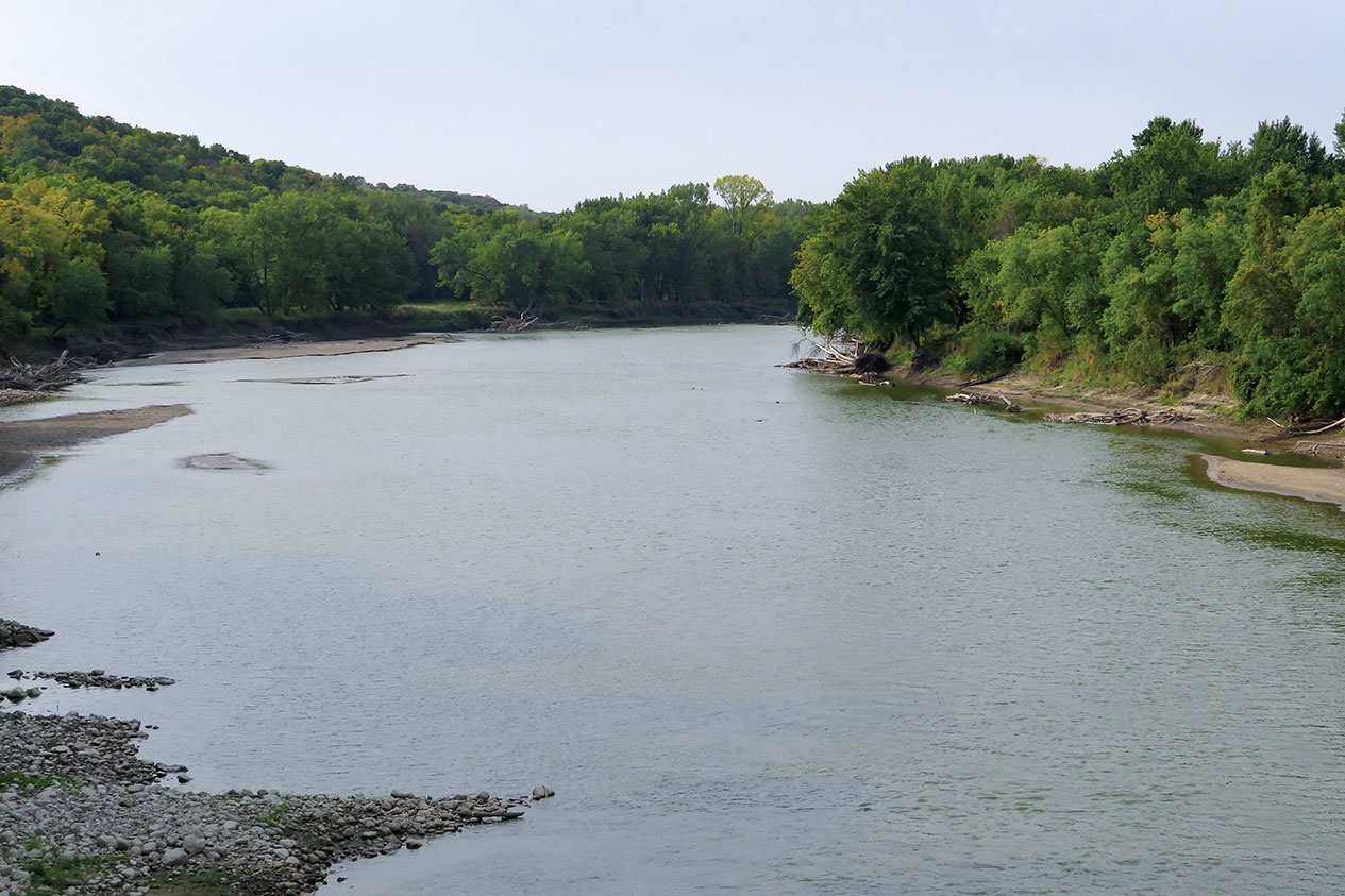
Leaving Norwich, there is a change. The hurry is gone, and I glide effortlessly around the curves, passing by narrow valley farms and through the villages of Thetford, Fairlee, Bradford, Newbury, and Wells River. In Barnet, there is another perceptible change as U.S. 5 parts ways with the Connecticut River and starts following the smaller Passumpsic River. The curves are tighter, the hills are closer, and at one point, U.S. 5 slips between the northbound and southbound lanes of I-91 for a bit.

In St. Johnsbury, State Route 5A splits off as it passes the St. Johnsbury Athenaeum and the Fairbanks Museum & Planetarium. Both 19th-century edifices were built by the Fairbanks family. Their Fairbanks Scales Company changed how commerce was done, and the family spent much of their fortune locally. Fine Victorian architecture lines both sides of the road here.
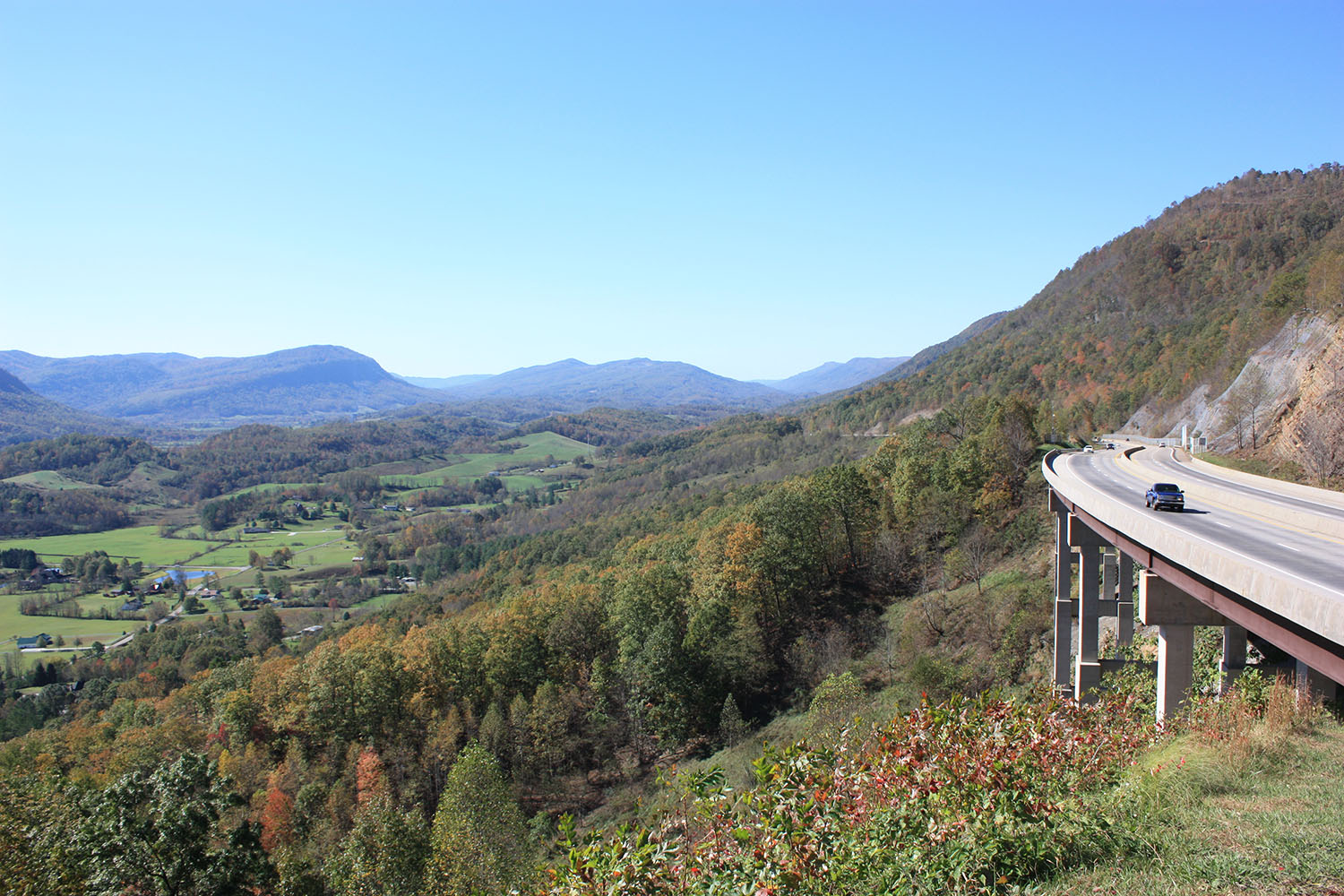
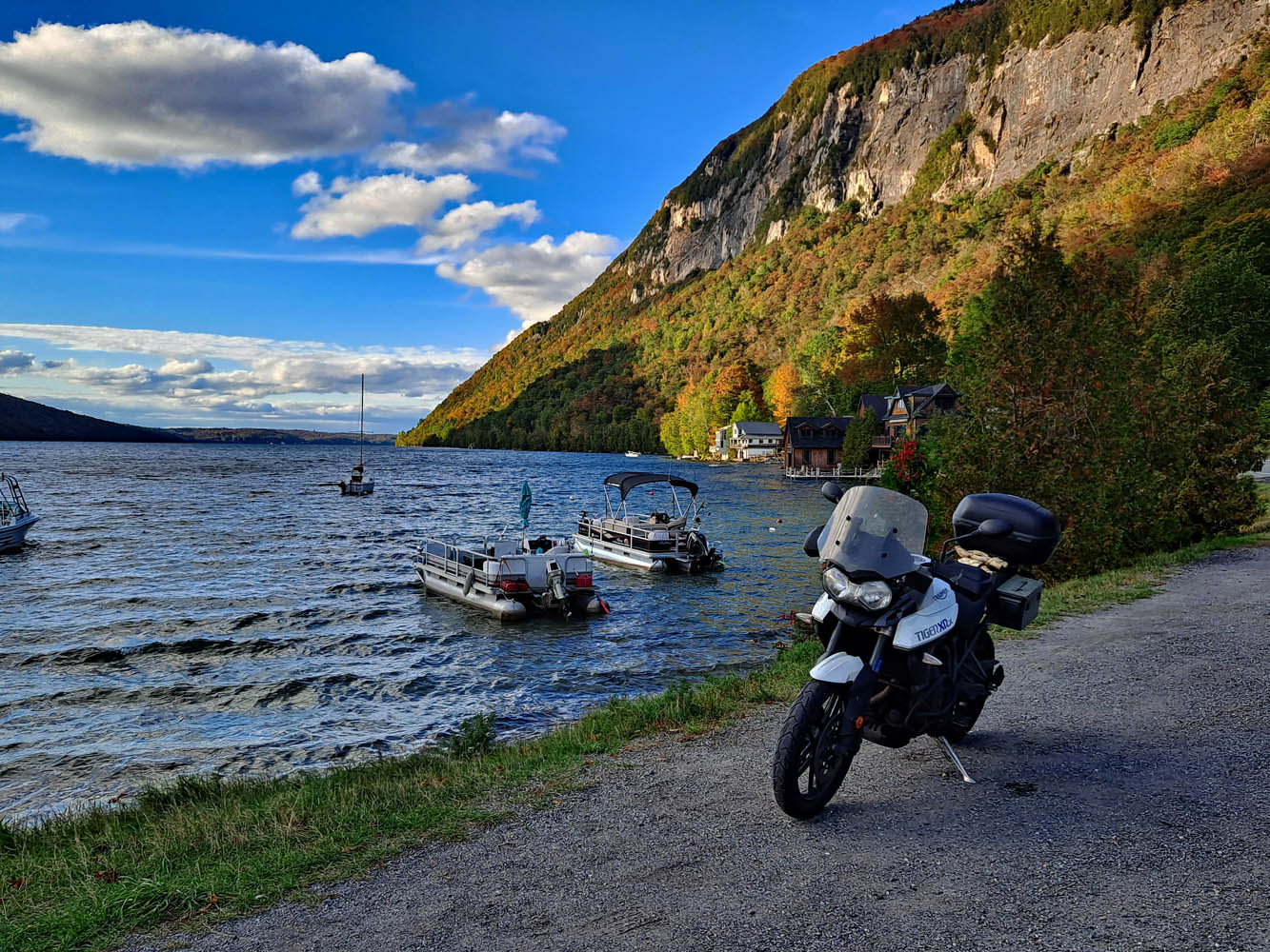
After Lyndonville, U.S. 5 cuts through the landscape to West Burke, where I follow State Route 5A toward Lake Willoughby. The lake is the crown jewel of this ride. Nestled between Mount Pisgah and Mount Hor, it resembles a Norwegian fjord. The road runs up the east side, perched precariously between lake and ledge.

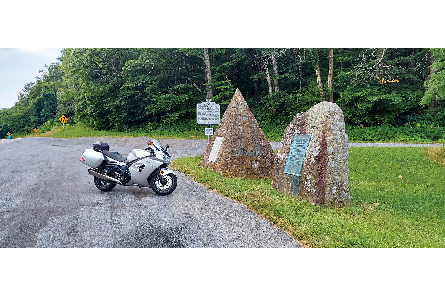
Past Lake Willoughby, there is a “North Country” feel. The rivers flow north toward the St. Lawrence River, the landscape is more open, and the trees seem shorter. Route 5A reconnects with U.S. 5 in Derby Center and heads for the Canadian border at Derby Line. There, within sight of the Haskell Free Library and Opera House, not far from the border, is a sign that declares “End 5.” Just beyond is Quebec and a large sign that says “Bonjour.” It’s time to head back. Maybe I’ll take Route 100.
The post Favorite Ride: Vermont Border Run first appeared on Rider Magazine.
Source: RiderMagazine.com