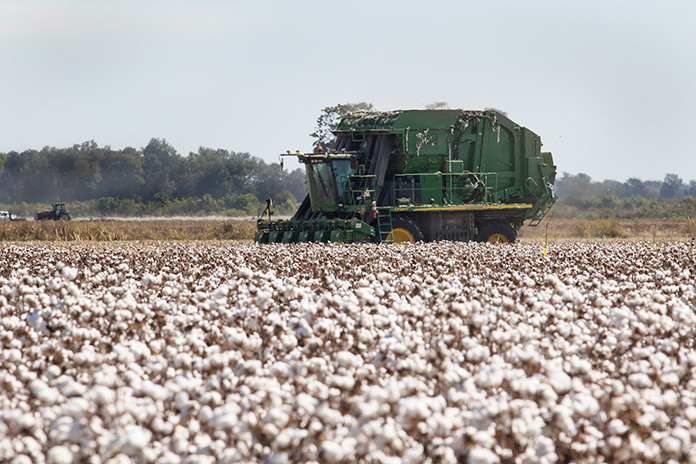
Pancake flat. That’s an accurate description for most of Arkansas’ Mississippi River Delta. The delta contains historically interesting and culturally significant places to visit, but it’s also home to a unique geological feature that offers a great Arkansas motorcycle ride through beautiful, heavily forested landscapes. This geological feature is called Crowley’s Ridge, and it rises as much as 550 feet above the fertile delta farmland.
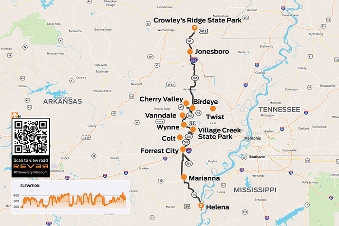
Scan QR code above or click here to view the route on REVER
Toward the end of the last ice age, the confluence of the Mississippi and Ohio rivers shifted 190 miles north into Illinois. This change left a 150-mile-long, 15-mile-wide motorcycle playground in the middle of an otherwise flat delta, 110 miles of which is in Arkansas.
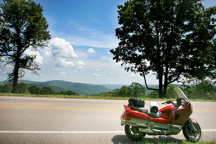
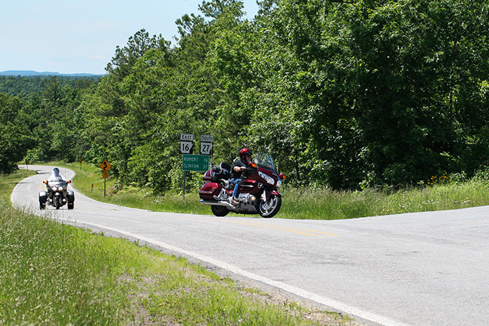
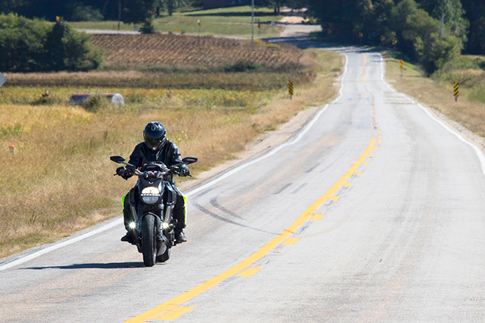
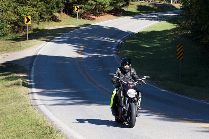
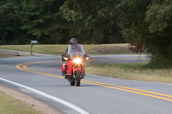
To most travelers on Interstate 40 between Little Rock and Memphis, Crowley’s Ridge is an easy-to-miss rise in elevation. But for those looking for an enjoyable Arkansas motorcycle ride, you can find serpentine pavement by traveling the length of the ridge. Mix in the delta’s historic and cultural sites, and a tour of Crowley’s Ridge becomes an attractive proposition.
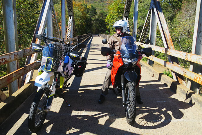
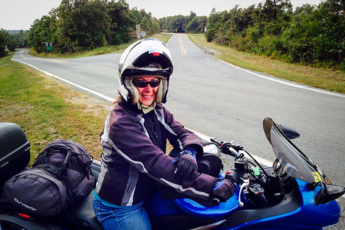
A riding buddy visiting from Florida, Matt Terry, and I began our tour of Crowley’s Ridge on its southern end, in Helena. Here, the ridge begins in dramatic fashion, overlooking the city’s riverfront on the Mississippi.
Helena was an important site during the Civil War. Fort Curtis is located halfway up the ridge above Helena’s downtown. It was coveted – and occupied at different times – by both Confederate troops and Union soldiers. The fort could effectively control boat traffic up and down the river for whomever held this important high ground.
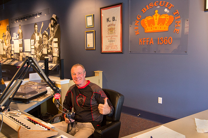
On Cherry Street in downtown Helena is the Delta Cultural Center, which celebrates the rich history of the delta and is home to the KFFA King Biscuit Time studio, where the daily 12:15 p.m. broadcast is made. King Biscuit Time began in 1941 and became an important venue in the development of the delta’s many African American blues musicians. It also happens to be the longest-running broadcast program in the nation, and blues fans from around the world travel to Helena to attend live broadcasts of this historic show.
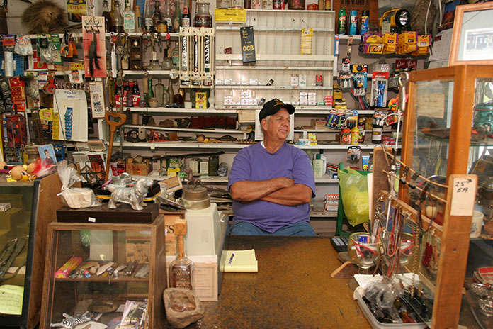
From Helena, we rode north along the eastern edge of the ridge on Arkansas Highway 44. If you’re a fan of Food Network, then you probably know that winning the culinary world’s prestigious James Beard Award is akin to winning an Oscar or a Grammy. Arkansas’ first James Beard Award winner was Harold Jones, and his family restaurant is in Marianna.
The Jones family started the Hole-in-the-Wall around 1910. The name was changed to Jones Bar-B-Q Diner in 1964, when it moved from downtown to its current location on West Louisiana Street. The small dining room has only one large table and one small table, so takeout is popular.
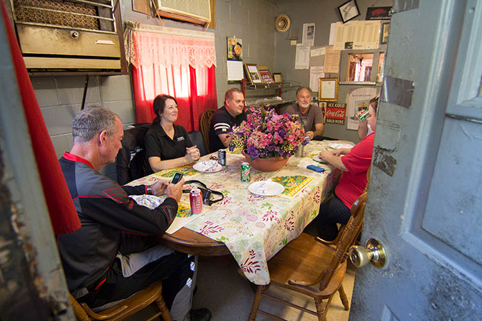
“Mr. Harold,” as locals call him, serves any kind of barbecue you want – as long as it’s pulled pork, either in a sandwich or by the pound. His great-grandmother’s sauce recipe, which dates to Civil War times, is a thin, sweet vinegar-based sauce that’s delicious on their sandwiches, which are served on white bread with or without coleslaw.
We continued north on AR 1 and 1B. Just south of Forrest City, we enjoyed a twisty out-and-back spur on AR 334. North of Forrest City on AR 1 is Colt, birthplace of the “Silver Fox,” Grammy Award-winning singer Charlie Rich. We bypassed Colt, curving and cornering our way northeast on AR 284. The road runs through a landscape reminiscent of my home in the Ozarks, with nice sweepers and scenic, heavily wooded terrain.
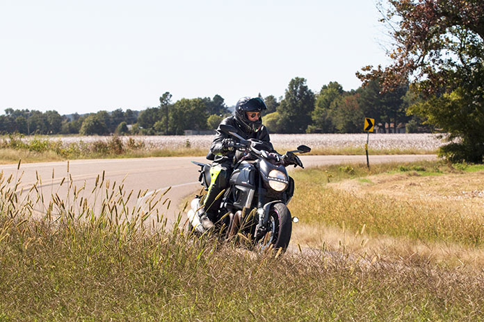
After riding along the western edge of Village Creek State Park, we jogged east on County Road 720 and then went north again on AR 163, a mostly winding and always scenic highway. We made our way northwest to Vanndale so we could enjoy the curves of AR 364 on our way back to AR 163.
From Birdeye, we rode west on AR 42 to Cherry Valley, bending around curves nearly the entire way. For another musical connection, you can take AR 42 east from Birdeye to the tiny delta community of Twist, where blues legend B.B. King first named his Gibson guitar “Lucille.”
King was playing a gig at a juke joint in Twist when two men began fighting and overturned a kerosene heater, setting the building ablaze. Two patrons were killed. King rushed back into the inferno to retrieve his Gibson and realized he, too, could have died.
From that point on, King named all his guitars Lucille to remind himself of two things: First, never go back into a burning building to save a guitar. Second, no woman is worth fighting over. (The two men were fighting over a woman named Lucille.) A commemorative plaque marks the spot.
We stayed on AR 163 for quite a while, eventually reconnecting with AR 1B just south of Jonesboro. We rode north out of Jonesboro on AR 141, which runs along the western side of the ridge. Though it’s not on the top of the ridge, it is a scenic ride along the seam between the delta and Crowley’s Ridge.
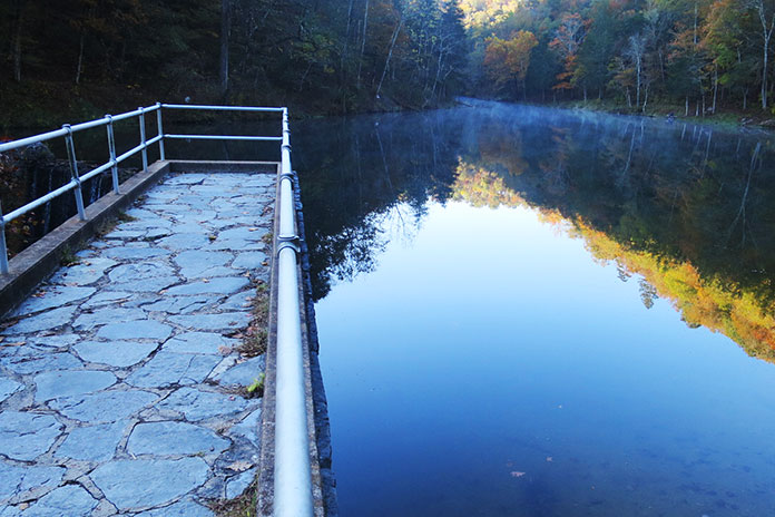
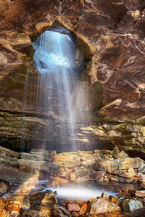
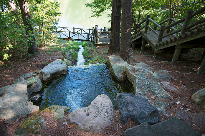
At Walcott, we turned northeast to Crowley’s Ridge State Park, the former homestead of Benjamin Crowley, an early settler in the area and namesake for the ridge. His property became an Arkansas state park in the 1930s, and it offers cabins, camping, hiking trails, picnic facilities, a swimming lake, and a native stone CCC-era pavilion.
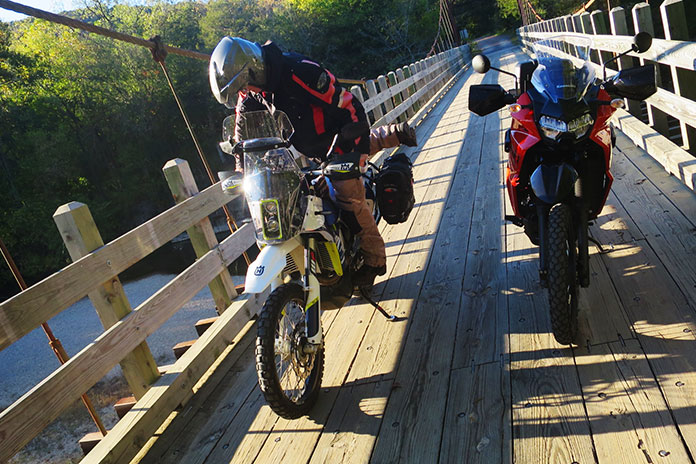
Arkansas is one of those states where more famous riding areas in the Ozarks overshadow hidden gems like Crowley’s Ridge. The roads may not be as steep and the curves not as sharp, but they provide plenty of enjoyment. There are also numerous secondary roads, both paved and unpaved, which make the area great for adventure touring. Add in the rich cultural and musical history of the area and you’ve got a winning destination.
Arkansas Motorcycle Ride: Crowley’s Ridge Resources
- Arkansas Department of Parks, Heritage, and Tourism
- Delta Cultural Center
- Village Creek State Park
- Crowley’s Ridge State Park
The post Arkansas Motorcycle Ride on Crowley’s Ridge | Favorite Ride appeared first on Rider Magazine.
Source: RiderMagazine.com